Map Providers
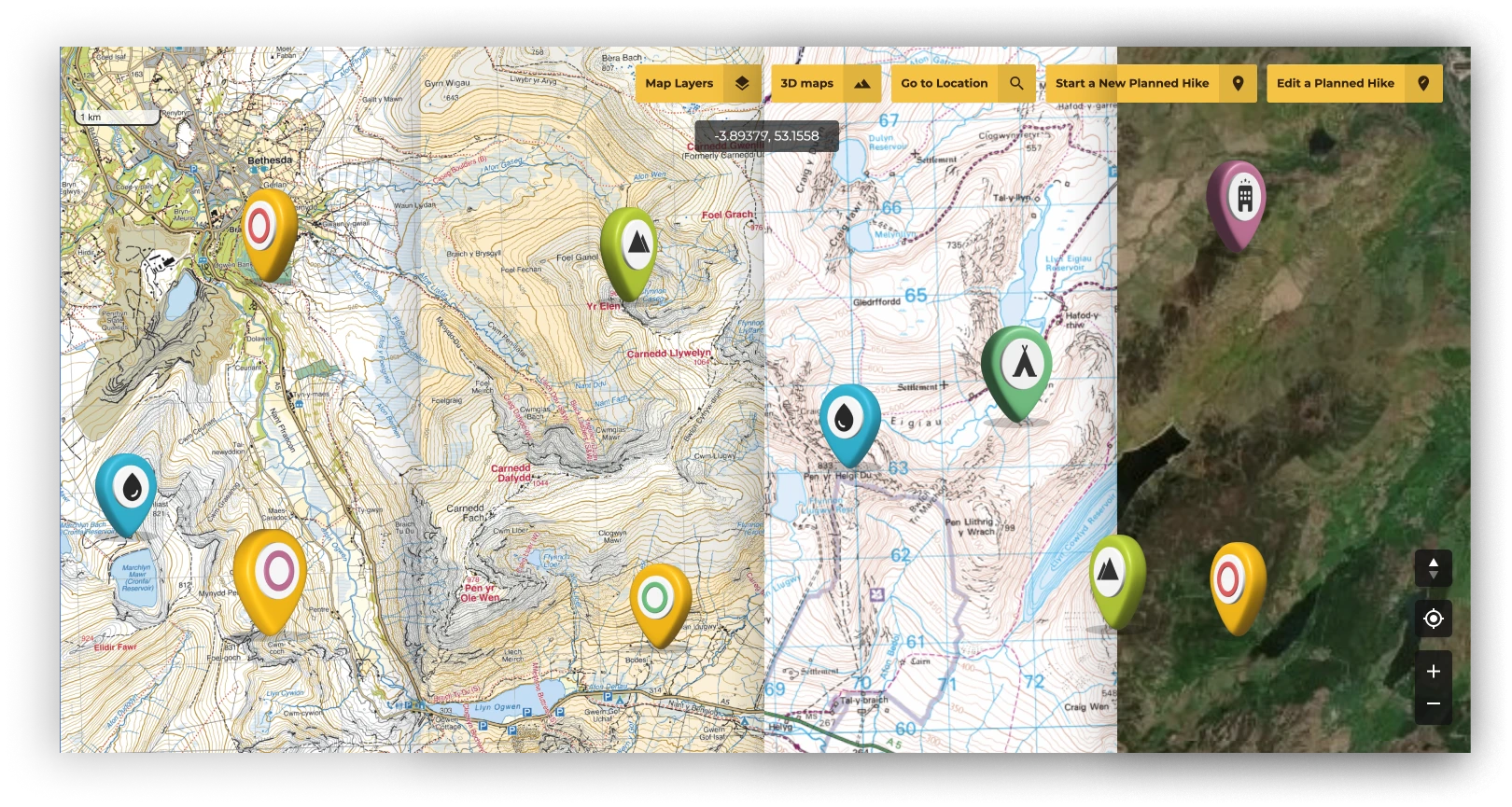
Hiking with one of our premium maps can not only help you stay safe and informed on what’s up next, but can also make your hike more interesting with tonnes of local and regional information that you won’t get anywhere else.
Hiking with one of our premium maps can not only help you stay safe and informed on what’s up next, but can also make your hike more interesting with tonnes of local and regional information that you won’t get anywhere else.