MAP COVERAGE
FSTopo is the Forest Service series of large scale topographic maps spanning many of the USA's national parks and forests at 1:24,000-scale
VIEW MAP
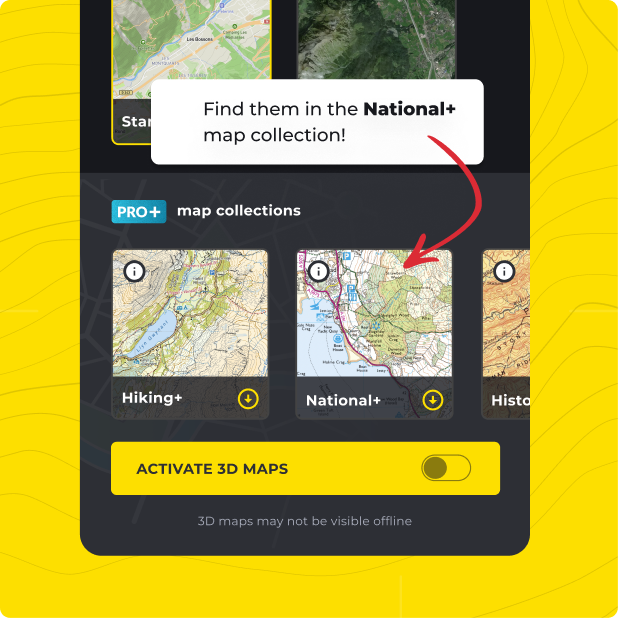
Not only do you get US Forest Service with HiiKER PRO+, but ALL of our curated collections of the worlds essential hiking maps from both national and independent sources. Plus a bunch of great tools too!
LEARN MORE