MAP COVERAGE
The USA water, earth, and biological science and civilian mapping agency. They provide science about natural resource conditions and problems. Topographic maps became a signature product of the USGS because the public found them - then and now - to be a critical and versatile tool for viewing the nation's vast landscape.
VIEW MAP
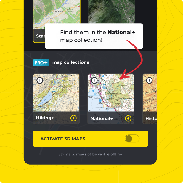
Not only do you get United States Geological Survey (USGS) with HiiKER PRO+, but ALL of our curated collections of the worlds essential hiking maps from both national and independent sources. Plus a bunch of great tools too!
LEARN MORE