MAP COVERAGE
The Federal Office of Topography “measures” Switzerland. It surveys and documents the landscape and the underground, and produces high-quality spatially-referenced geodata. Its most important products include landscape and height models, aerial images, orthophotos, geological data and maps, reference data and of course the well-known series of national maps.
VIEW MAP
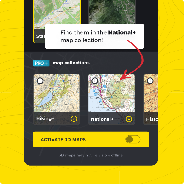
Not only do you get Federal Office of Topography Switzerland with HiiKER PRO+, but ALL of our curated collections of the worlds essential hiking maps from both national and independent sources. Plus a bunch of great tools too!
LEARN MORE