MAP COVERAGE
Ordnance Survey Northern Ireland (OSNI) maps provide detailed geographic and topographic coverage of Northern Ireland’s diverse landscapes. They encompass key locations such as the Mourne Mountains, the Glens of Antrim, and the Causeway Coast, including the iconic Giant’s Causeway. These maps are ideal for exploring areas around Belfast, Derry/Londonderry, and the Fermanagh Lakelands. OSNI maps offer precise information for outdoor enthusiasts, making them an excellent resource for planning hikes, exploring trails, and discovering the natural beauty of Northern Ireland’s scenic countryside and coastal regions.
VIEW MAP
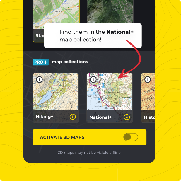
Not only do you get Ordnance Survey Northern Ireland (OSNI) with HiiKER PRO+, but ALL of our curated collections of the worlds essential hiking maps from both national and independent sources. Plus a bunch of great tools too!
LEARN MORE