MAP COVERAGE
Fraternali Editore creates maps based on a complete geographical database, structured on GIS software with the followings levels: Excursion information (shelters, bivouacs, unwatched refuges, climbing walls, equipped areas, places of interest, routes fitted, dangerous passages, etc..) - Specific elements such us fountains, piles, crosses, access restrictions, caves etc. - Primary and secondary path networks - Designation of paths and routes - Complete road network - Land typology (Woodlands, glaciers, stony grounds etc.) - Lakes, rivers, canals - National, regional, provincial, local borders, national parks - Curves of 50m, 10m, 5m equidistance - Buildings, industries, churches, cemeteries - Military buildings, fortifications
VIEW MAP
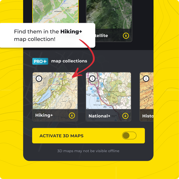
Not only do you get Fraternali Editore with HiiKER PRO+, but ALL of our curated collections of the worlds essential hiking maps from both national and independent sources. Plus a bunch of great tools too!
LEARN MORE