MAP COVERAGE
Ordnance Survey Ireland (OSI) maps offer comprehensive topographic and geographic coverage of Ireland, ideal for outdoor enthusiasts. They cover key regions like the Wicklow Mountains, Connemara, and the Ring of Kerry, providing detailed mapping of popular hiking destinations such as Croagh Patrick, the Dingle Peninsula, and the Burren. These maps are indispensable for exploring areas around Dublin, Galway, and Cork, with precise details on trails, elevations, and landmarks. OSI maps help hikers and adventurers navigate Ireland's diverse landscapes, from rugged coastlines to serene inland lakes, ensuring a safe and well-informed outdoor experience.
VIEW MAP
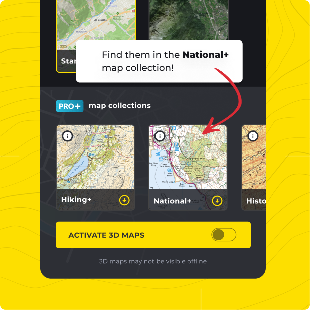
Not only do you get Ordnance Survey Ireland (OSi) with HiiKER PRO+, but ALL of our curated collections of the worlds essential hiking maps from both national and independent sources. Plus a bunch of great tools too!
LEARN MORE