MAP COVERAGE
Creating, maintaining and distributing detailed location information for Great Britain. OSBG record and keep 500 million geospatial features in the Ordnance Survey (OS) master map up-to-date. Their Britain wide maps have been carefully arranged to make sure you have the full picture for your next adventure.
VIEW MAP
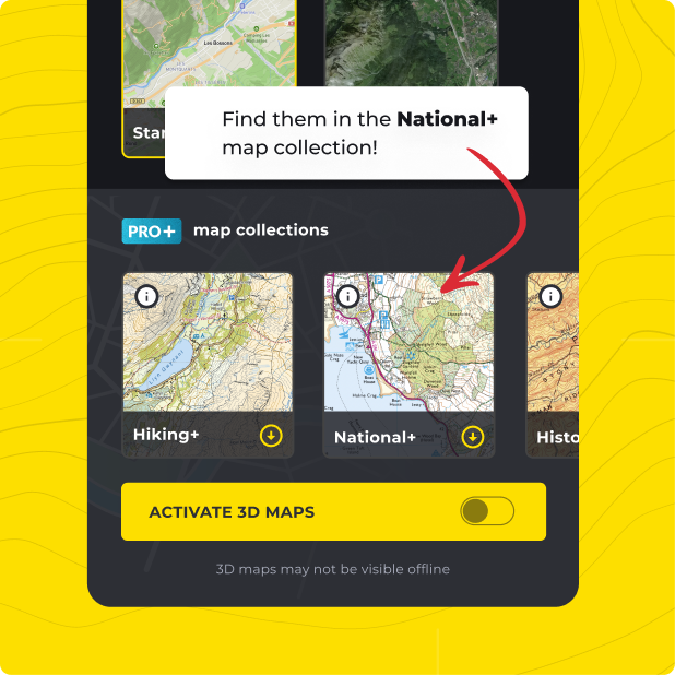
Ordnance Survey Great Britain (OSGB) maps on HiiKER
All featured within the HiiKER national+ map
Not only do you get Ordnance Survey Great Britain (OSGB) with HiiKER PRO+, but ALL of our curated collections of the worlds essential hiking maps from both national and independent sources. Plus a bunch of great tools too!
LEARN MORE