MAP COVERAGE
Vicmap has been part of the state’s primary mapping system since 1975. This suite of individual datasets provides the foundation to Victoria’s primary mapping and spatial information systems we rely on every day.
VIEW MAP
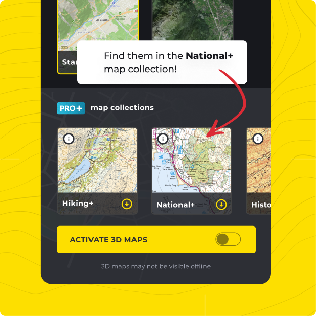
Not only do you get VicMaps with HiiKER PRO+, but ALL of our curated collections of the worlds essential hiking maps from both national and independent sources. Plus a bunch of great tools too!
LEARN MORE