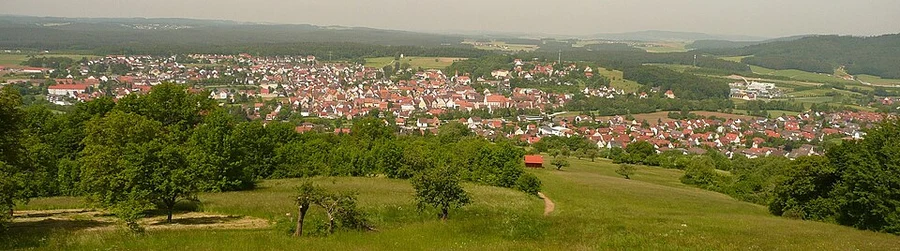
The best hikes in Südliche Weinstraße
Germany · 112 HiiKER Hikes
View Hikes on map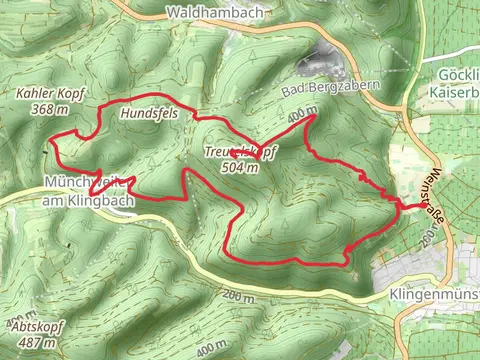
What to expect
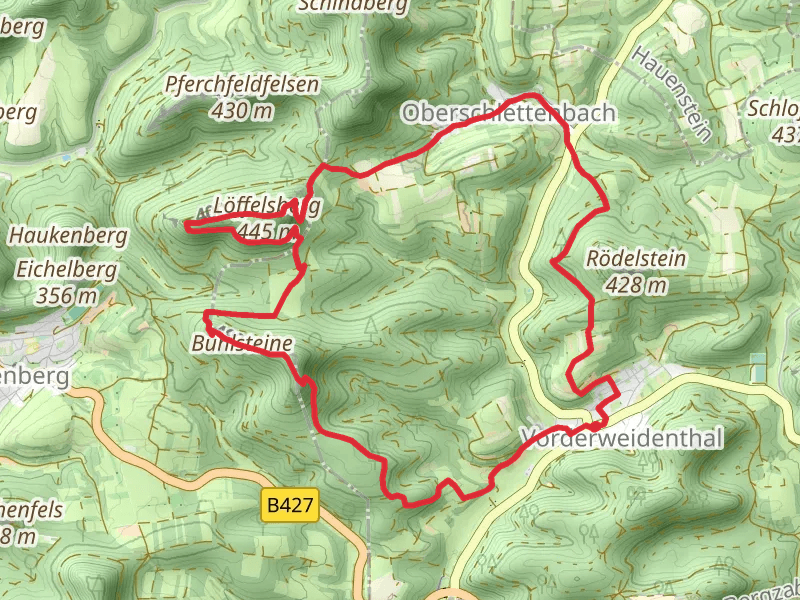
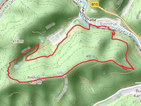
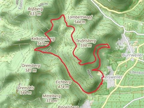
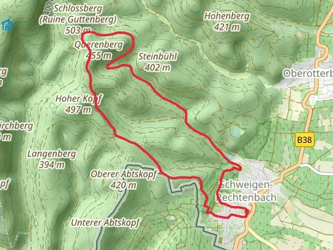
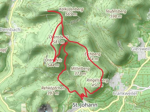
Check out some of the best hiking, walking and backpacking routes in Südliche Weinstraße, Germany. The Weg der Geschichte - Oberotterbach and Pfaelzerwald Gelb is the most popular trail. The trails have 252 user reviews with great photos and information. There are trails of various difficulty levels including easy, medium, and difficult. The trail with the highest elevation climb is the Kalmit via Hochberg Rundweg and Pfaelzer Weinsteig and the trail with the least amount of climbing is the Kaiserbach Lehrpfad. The longest trail is the Bad Bergzabern Loop via Karlsplatz at 18.6 km. For a shorter adventure you can try the Kellerfels Park Walk via Rundwanderweg 26 Silz at 2.2 km. Get off line access to gate, Shelter, parking, and information locations and much more with a Hiiker subscription.

Be prepared for hiking in Germany with the HiiKER app