Download
Preview
Add to list
More
13.1 km
~4 hrs 0 min
830 m
Loop
“Experience breathtaking views and historical intrigue on this challenging hike through the Palatinate Forest.”
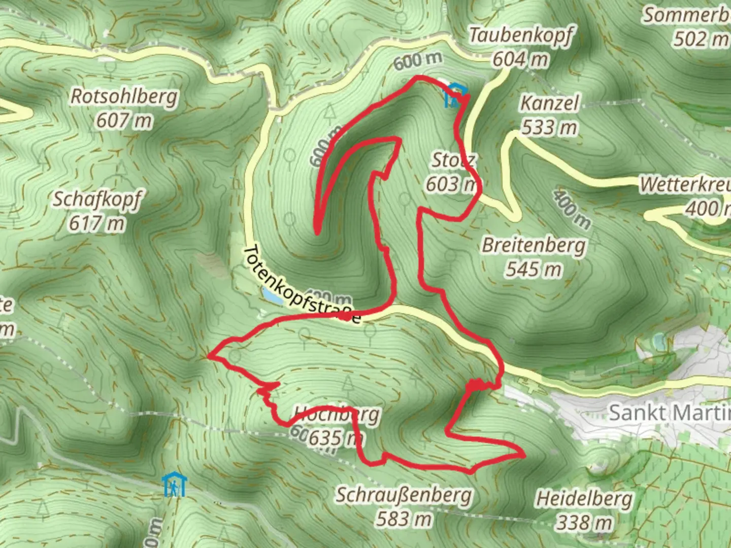
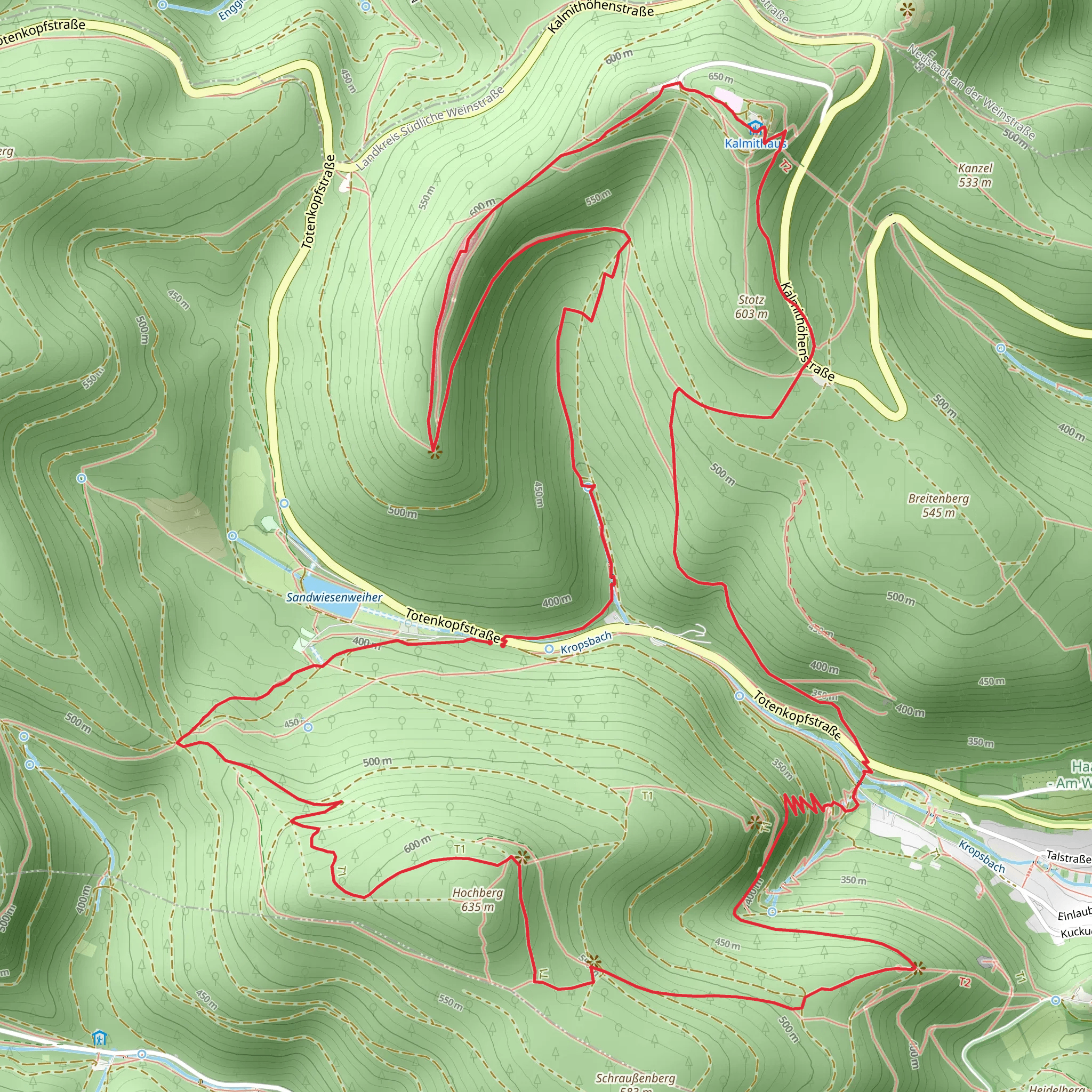
Nestled in the heart of the Palatinate Forest, the Kalmit via Hochberg Rundweg and Pfaelzer Weinsteig trail offers a challenging yet rewarding hiking experience. This 13 km (approximately 8 miles) loop trail, with an elevation gain of around 800 meters (about 2,625 feet), is known for its demanding terrain and breathtaking views. The trailhead is conveniently located near Südliche Weinstraße, Germany, making it accessible for both local and international hikers.
Getting There
For those traveling by public transport, the nearest major city is Landau in der Pfalz. From Landau, you can take a regional train to Neustadt an der Weinstraße, followed by a local bus to the trailhead near Maikammer. If you're driving, the trailhead is easily accessible via the A65 motorway, with parking available near the start of the hike.
Trail Highlights
#### Ascending the Hochberg
The initial section of the trail takes you through dense forests as you begin your ascent of the Hochberg. This part of the hike is steep and requires a good level of fitness. As you climb, you'll be surrounded by towering trees and the sounds of local wildlife, including various bird species and perhaps even a glimpse of deer. The forest is particularly beautiful in autumn when the leaves turn vibrant shades of red and gold.
#### Reaching Kalmit
Kalmit, the highest peak in the Palatinate Forest at 673 meters (2,208 feet), is the highlight of this trail. Upon reaching the summit, you'll be rewarded with panoramic views of the surrounding landscape, including the Rhine Valley and, on clear days, the distant Black Forest. The summit is marked by a weather station and a small hut where you can take a break and enjoy the scenery.
#### Historical Significance
The region is steeped in history, with evidence of human settlement dating back to the Roman era. The Palatinate Forest was historically a significant source of timber and has been a protected area since the early 20th century. As you hike, you may come across remnants of old stone structures and paths that hint at the area's rich past.
#### Descending via Pfaelzer Weinsteig
The descent follows the Pfaelzer Weinsteig, a renowned long-distance hiking trail that winds through the vineyards of the Palatinate wine region. This section offers a stark contrast to the forested ascent, with open views of rolling hills and neatly arranged vineyards. The trail is well-marked, but it's advisable to use the HiiKER app for navigation to ensure you stay on track.
Flora and Fauna
The trail is home to a diverse range of flora and fauna. In spring and summer, the forest floor is carpeted with wildflowers, while the vineyards are lush with grapevines. Wildlife enthusiasts may spot red deer, wild boar, and a variety of bird species, including woodpeckers and hawks.
Trail Considerations
Given the trail's difficulty rating, it's important to come prepared. Ensure you have sturdy hiking boots, plenty of water, and snacks. Weather conditions can change rapidly, so layers are recommended. The trail can be slippery after rain, so caution is advised, particularly on the descent.
This hike offers a perfect blend of natural beauty, challenging terrain, and historical intrigue, making it a must-do for experienced hikers visiting the region.
Comments and Reviews
User comments, reviews and discussions about the Kalmit via Hochberg Rundweg and Pfaelzer Weinsteig, Germany.
4.25
average rating out of 5
4 rating(s)
