American Discovery Trail North Route trail stages
stage 241
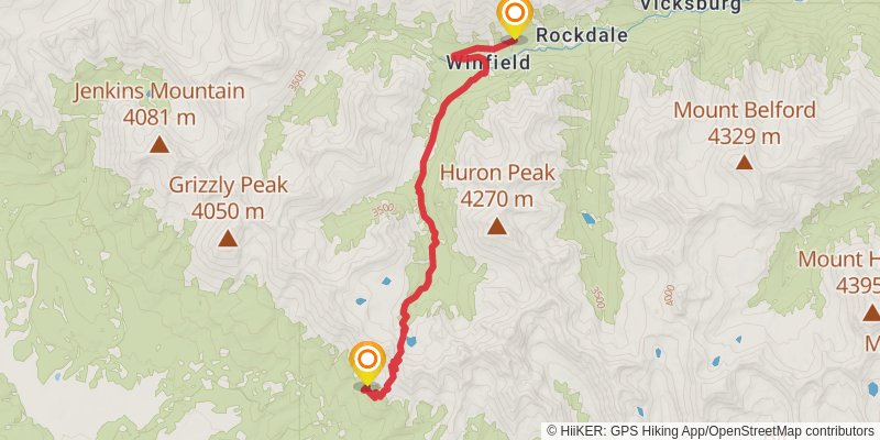
Starting at: Rockdale, Chaffee County, 81211
Ending at: Almont, Gunnison County, 81210
Distance: 15.5 km
Elevation gain: 845 m
Duration: 04:30:34
stage 242
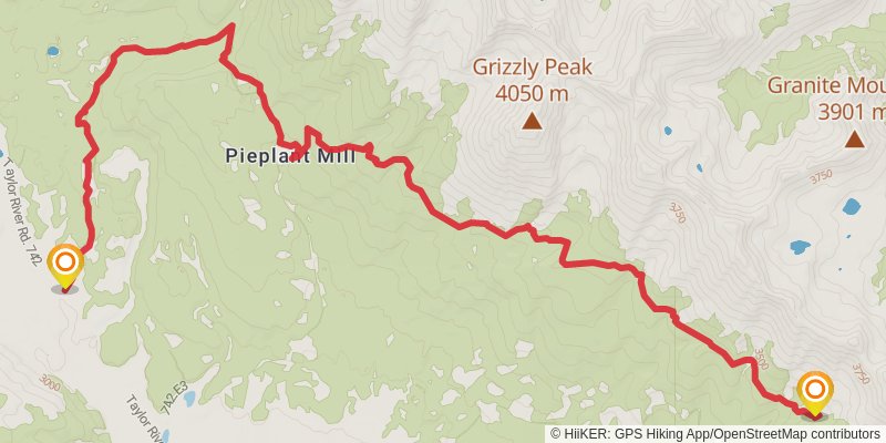
Starting at: Chaffee County, 81210
Ending at: Almont, Gunnison County, 81210
Distance: 18.3 km
Elevation gain: 445 m
Duration: 04:24:03
stage 243
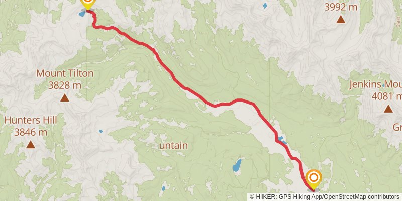
Starting at: Pieplant Mill, Almont, Gunnison County, 81210
Ending at: Almont, Gunnison County, 81210
Distance: 19.3 km
Elevation gain: 643 m
Duration: 04:56:07
stage 244
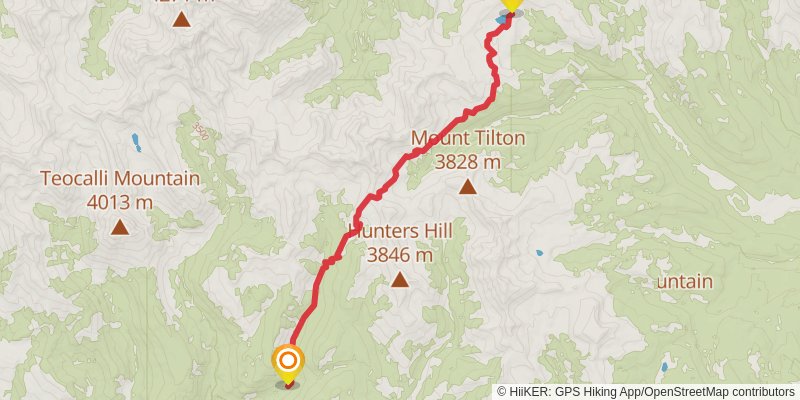
Starting at: Almont, Gunnison County, 81210
Ending at: Crested Butte, Gunnison County, 81224
Distance: 16.2 km
Elevation gain: 573 m
Duration: 04:12:11
stage 245
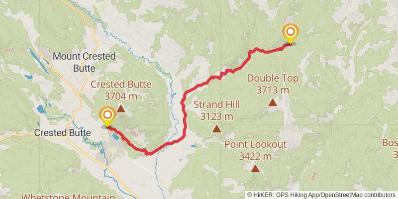
Starting at: Gunnison County, 81224
Ending at: Crested Butte, Gunnison County, 81224
Distance: 17.5 km
Elevation gain: 410 m
Duration: 04:11:03
stage 246
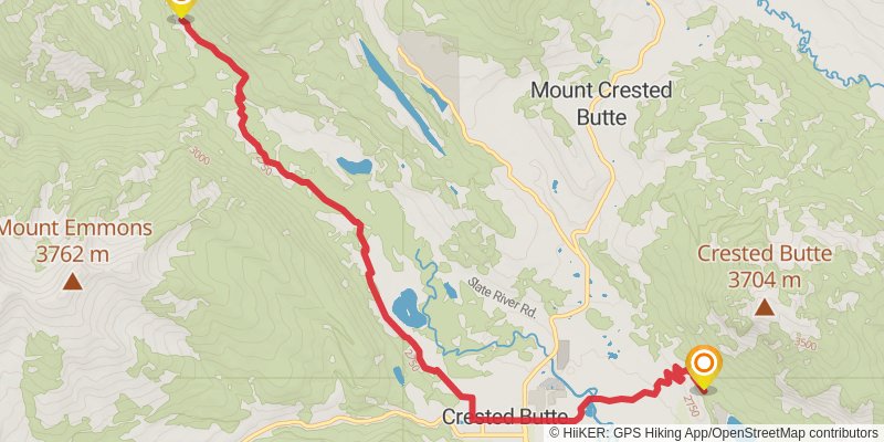
Starting at: Crested Butte, Gunnison County, 81224
Ending at: Crested Butte, Gunnison County, 81225
Distance: 12.1 km
Elevation gain: 228 m
Duration: 02:47:54
stage 247
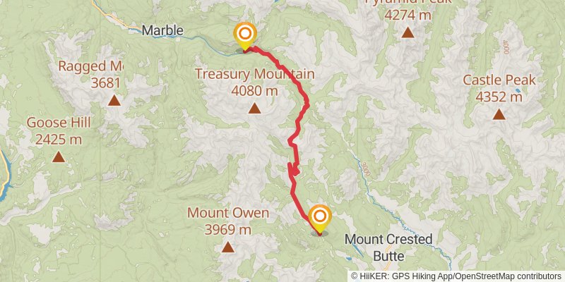
Starting at: Pittsburg, Crested Butte, Gunnison County, 81225
Distance: 24.9 km
Elevation gain: 935 m
Duration: 06:32:20
stage 248
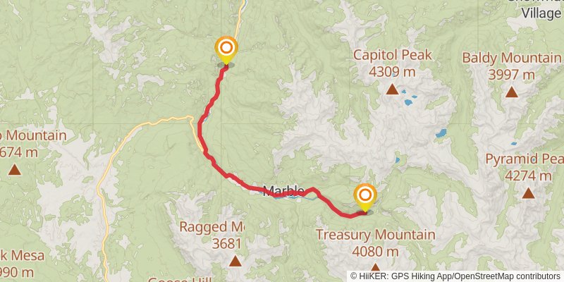
Starting at: Crystal, Carbondale, Gunnison County, 81623
Ending at: Redstone, Pitkin County, 81623
Distance: 25.6 km
Elevation gain: 280 m
Duration: 05:35:15
stage 249
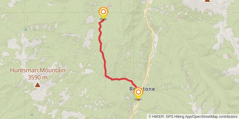
Starting at: Carbondale, Pitkin County, 81623
Ending at: Carbondale, Pitkin County, 81623
Distance: 11.3 km
Elevation gain: 696 m
Duration: 03:25:17
stage 250
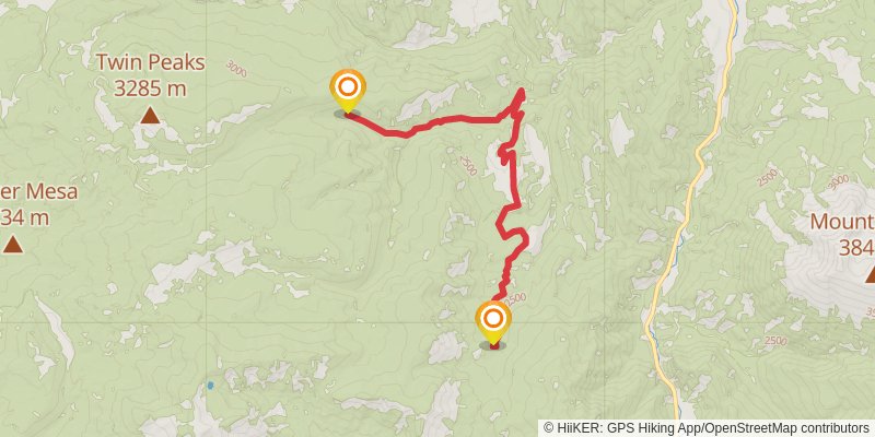
Starting at: Redstone, Pitkin County, 81623
Ending at: Carbondale, Pitkin County, 81623
Distance: 16.3 km
Elevation gain: 768 m
Duration: 04:32:43
stage 251
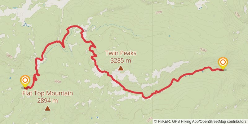
Starting at: Pitkin County, 81623
Ending at: Mesa County, 81624
Distance: 17.2 km
Elevation gain: 644 m
Duration: 04:30:14
stage 252
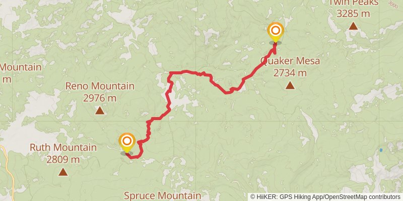
Starting at: Mesa County, 81624
Ending at: Collbran, Mesa County, 81624
Distance: 17.6 km
Elevation gain: 596 m
Duration: 04:30:22
stage 253
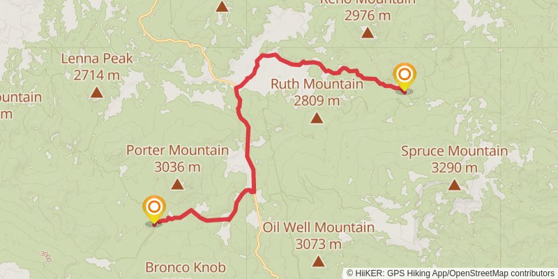
Starting at: Collbran, Mesa County, 81624
Ending at: Collbran, Mesa County, 81624
Distance: 19.4 km
Elevation gain: 382 m
Duration: 04:30:34
stage 254
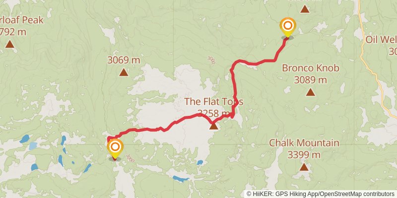
Starting at: Collbran, Mesa County, 81624
Ending at: Collbran, Mesa County, 81624
Distance: 17.9 km
Elevation gain: 554 m
Duration: 04:30:07
stage 255
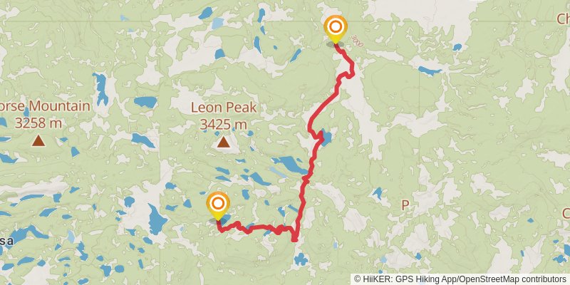
Starting at: Mesa County, 81624
Ending at: Cedaredge, Delta County, 81413
Distance: 16.5 km
Elevation gain: 562 m
Duration: 04:13:56
stage 256
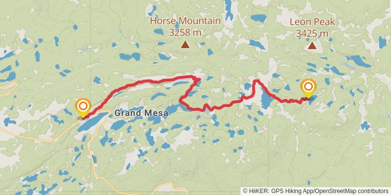
Starting at: Cedaredge, Delta County, 81413
Ending at: Cedaredge, Delta County, 81413
Distance: 22.0 km
Elevation gain: 830 m
Duration: 05:46:50
stage 257
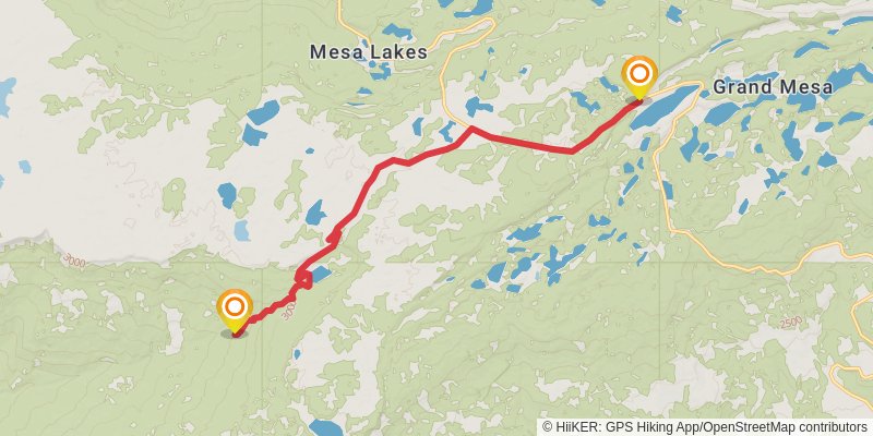
Starting at: Cedaredge, Delta County, 81413
Ending at: Mesa, Mesa County, 81643
Distance: 16.2 km
Elevation gain: 163 m
Duration: 03:31:06
stage 258
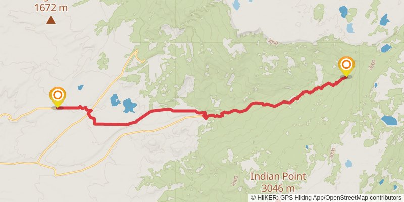
Starting at: Mesa County, 81643
Ending at: Whitewater, Mesa County, 81527
Distance: 21.9 km
Elevation gain: 157 m
Duration: 04:38:58
stage 259
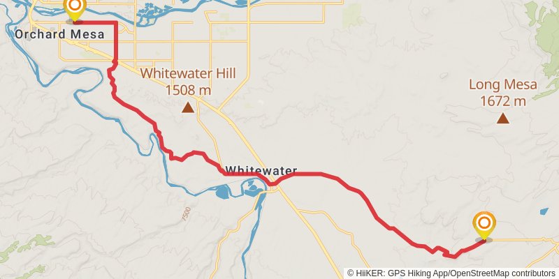
Starting at: Whitewater, Mesa County, 81527
Ending at: Grand Junction, Mesa County, 81503
Distance: 25.6 km
Elevation gain: 216 m
Duration: 05:28:22
stage 260
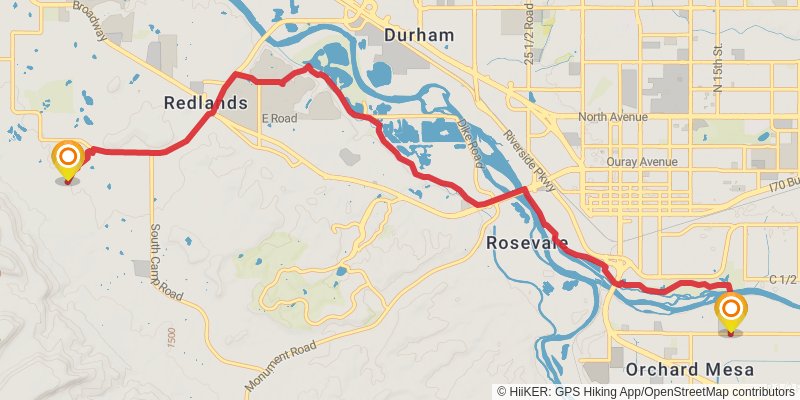
Starting at: Grand Junction, Mesa County, 81503
Ending at: Redlands, Mesa County, 81507
Distance: 13.9 km
Elevation gain: 204 m
Duration: 03:07:08
stage 261
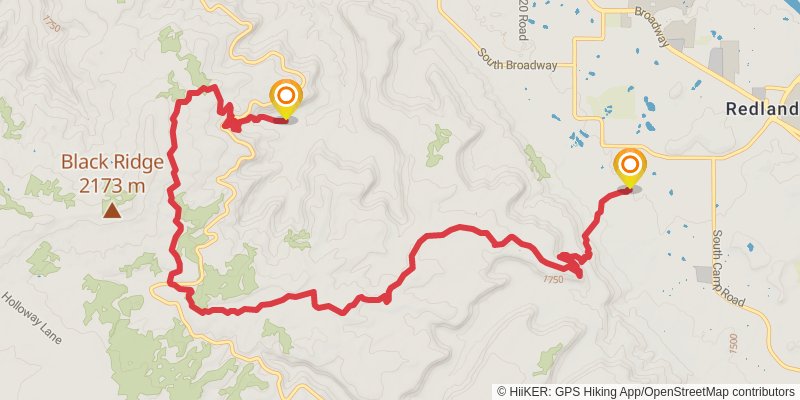
Starting at: Grand Junction, Mesa County, 81507
Ending at: Redlands, Mesa County, 81507
Distance: 17.3 km
Elevation gain: 883 m
Duration: 04:56:17
stage 262
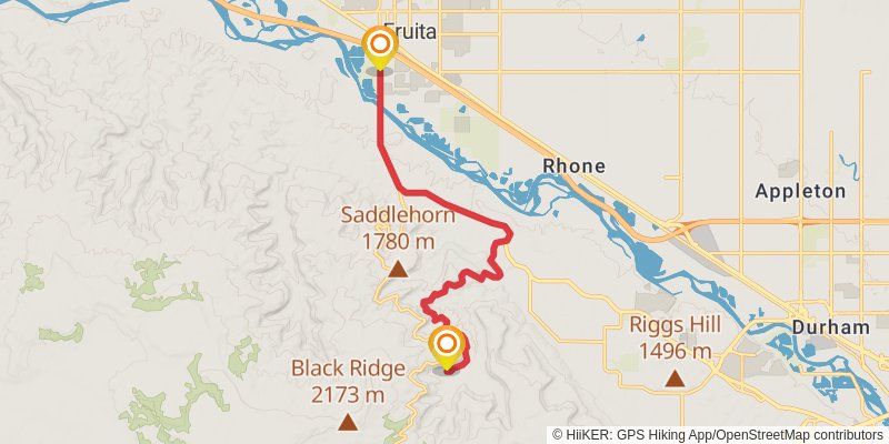
Starting at: Mesa County, 81507
Ending at: Fruita, Mesa County, 81521
Distance: 14.4 km
Elevation gain: 320 m
Duration: 03:25:16
stage 263
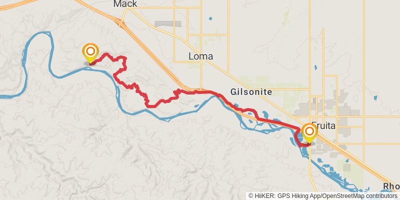
Starting at: Fruita, Mesa County, 81521
Ending at: Loma, Mesa County, 81524
Distance: 21.7 km
Elevation gain: 603 m
Duration: 05:20:48
stage 264
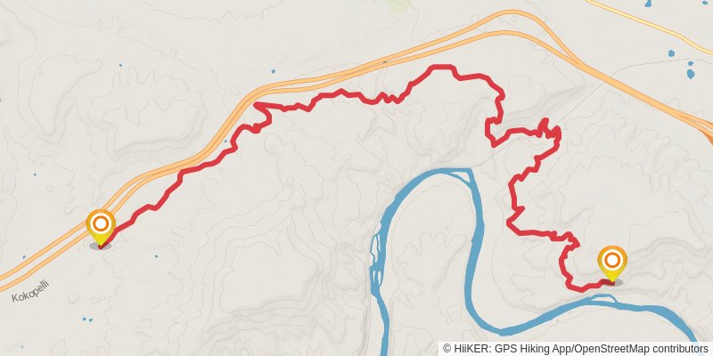
Starting at: Mack, Mesa County, 81524
Ending at: Loma, Mesa County, 81524
Distance: 18.5 km
Elevation gain: 620 m
Duration: 04:44:10
stage 265
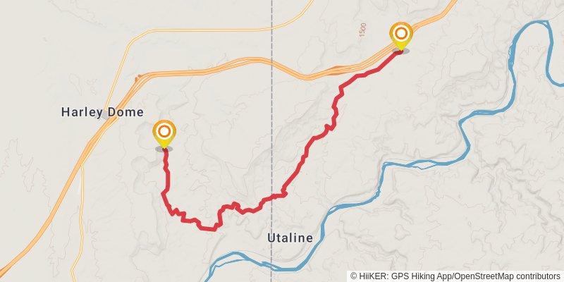
Starting at: Loma, Mesa County, 81524
Ending at: Cisco, Grand County, 84515
Distance: 19.7 km
Elevation gain: 348 m
Duration: 04:31:07
stage 266
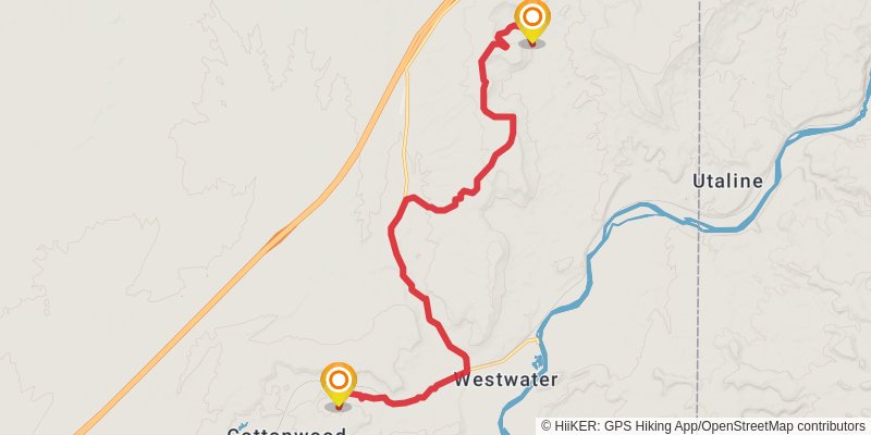
Starting at: Harley Dome, Cisco, Grand County, 84515
Ending at: Cottonwood, Grand County
Distance: 19.7 km
Elevation gain: 339 m
Duration: 04:30:27
stage 267
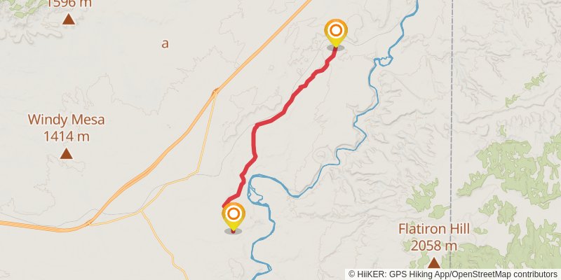
Starting at: Cottonwood, Grand County
Ending at: Cisco, Grand County, 84515
Distance: 21.2 km
Elevation gain: 161 m
Duration: 04:30:04
stage 268
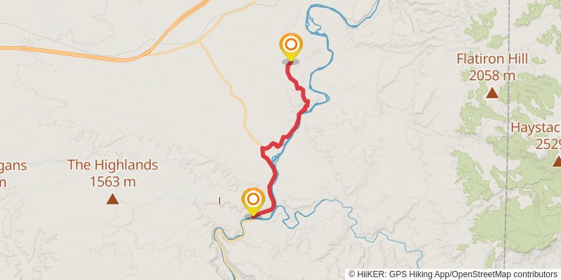
Starting at: Grand County, 84515
Ending at: Cisco, Grand County, 84515
Distance: 19.5 km
Elevation gain: 303 m
Duration: 04:23:53
stage 269
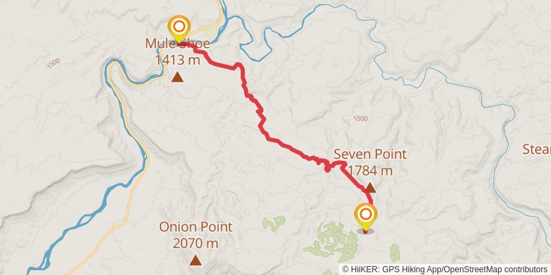
Starting at: Grand County, 84532
Ending at: Moab, Grand County, 84532
Distance: 16.0 km
Elevation gain: 855 m
Duration: 04:36:56
stage 270
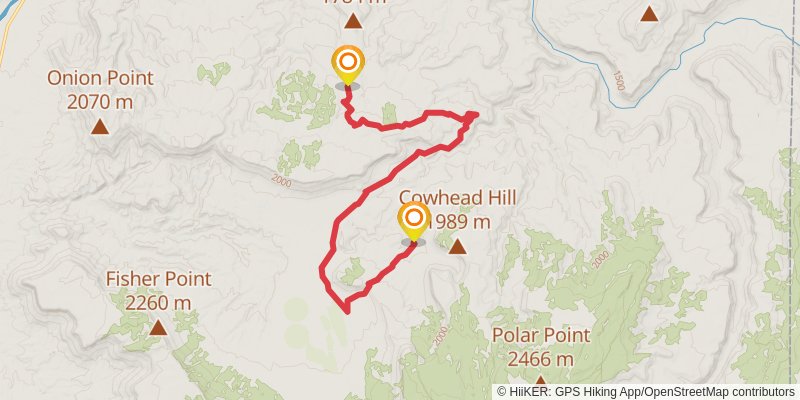
Starting at: Moab, Grand County, 84532
Ending at: Moab, Grand County, 84532
Distance: 18.0 km
Elevation gain: 542 m
Duration: 04:30:10