American Discovery Trail North Route trail stages
stage 121
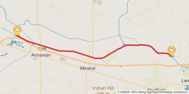
Starting at: Langley, Bureau County, 61361
Ending at: Alba, Henry County, 61234
Distance: 21.3 km
Elevation gain: 26 m
Duration: 04:17:54
stage 122
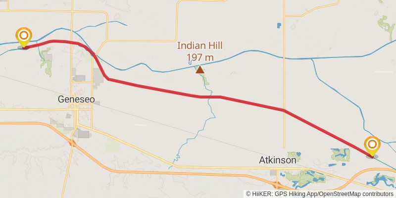
Starting at: Henry County, 61234
Ending at: Geneseo, Henry County, 61254
Distance: 22.4 km
Elevation gain: 32 m
Duration: 04:32:26
stage 123
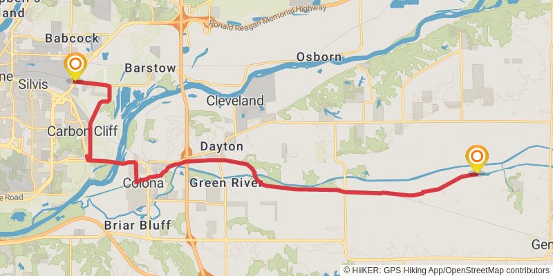
Starting at: Henry County, 61254
Ending at: Carbon Cliff, Rock Island County, 61244
Distance: 23.1 km
Elevation gain: 59 m
Duration: 04:43:02
stage 124
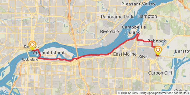
Starting at: Carbon Cliff, Rock Island County, 61244
Ending at: Davenport, Scott County, 52801
Distance: 20.6 km
Elevation gain: 136 m
Duration: 04:20:44
stage 125
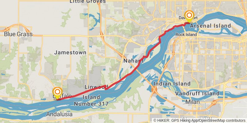
Starting at: Nahant, Davenport, Scott County, 52801
Ending at: Buffalo, Scott County, 52728
Distance: 16.0 km
Elevation gain: 66 m
Duration: 03:18:44
stage 126
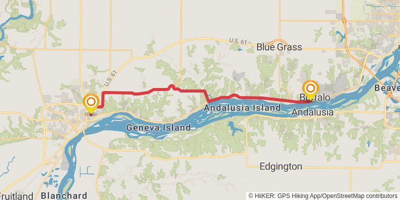
Starting at: Buffalo, Scott County, 52728
Ending at: Muscatine, Muscatine County, 52761
Distance: 29.4 km
Elevation gain: 294 m
Duration: 06:22:43
stage 127
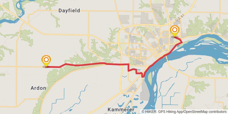
Starting at: Muscatine, Muscatine County, 52761
Ending at: Muscatine, Muscatine County, 52761
Distance: 17.7 km
Elevation gain: 168 m
Duration: 03:49:03
stage 128
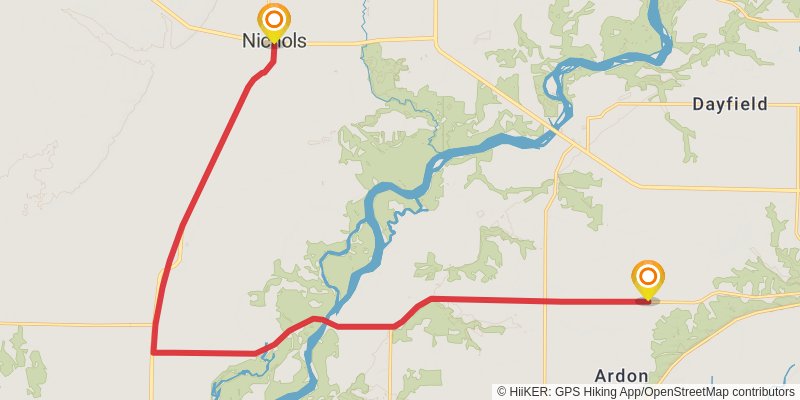
Starting at: Muscatine, Muscatine County, 52761
Ending at: Nichols, Muscatine County, 52766
Distance: 24.6 km
Elevation gain: 52 m
Duration: 04:59:48
stage 129
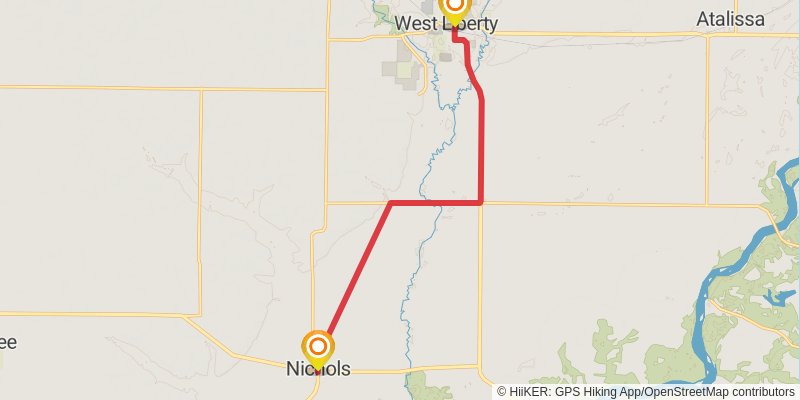
Starting at: Nichols, Muscatine County, 52766
Ending at: West Liberty, Muscatine County, 52776
Distance: 13.3 km
Elevation gain: 44 m
Duration: 02:43:55
stage 130
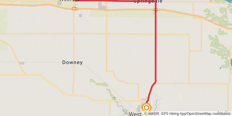
Starting at: West Liberty, Muscatine County, 52776
Ending at: West Branch, Cedar County, 52358
Distance: 19.3 km
Elevation gain: 141 m
Duration: 04:05:35
stage 131
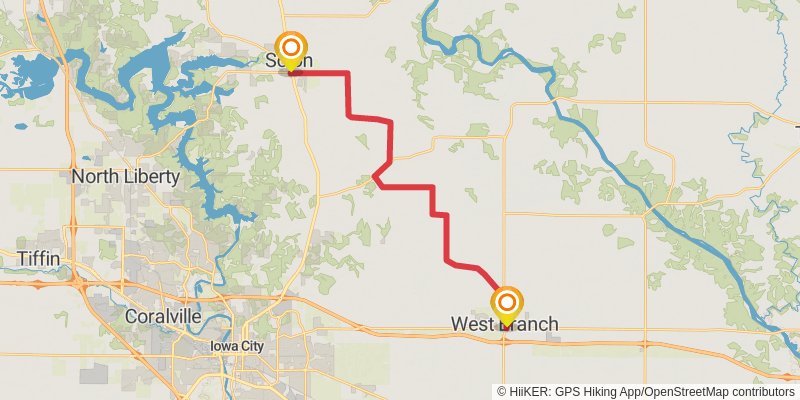
Starting at: West Branch, Cedar County, 52358
Ending at: Solon, Johnson County, 52333
Distance: 26.2 km
Elevation gain: 201 m
Duration: 05:34:15
stage 132
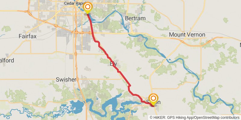
Starting at: Solon, Johnson County, 52333
Ending at: Cedar Rapids, Linn County, 52404
Distance: 24.2 km
Elevation gain: 161 m
Duration: 05:06:05
stage 133
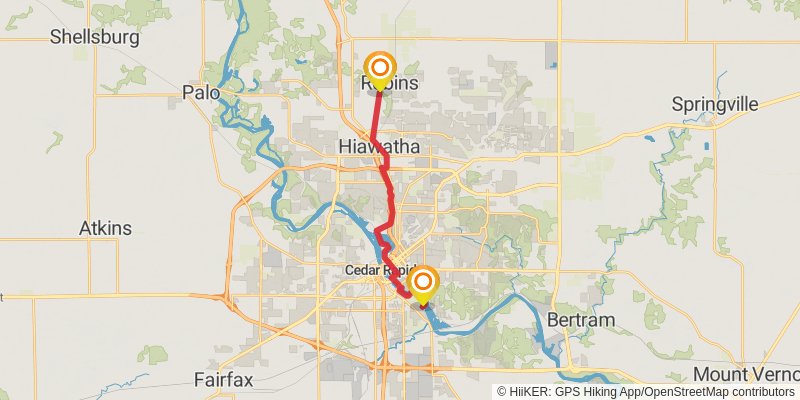
Starting at: Rompot, Cedar Rapids, Linn County, 52404
Ending at: Robins, Linn County, 52328
Distance: 16.8 km
Elevation gain: 155 m
Duration: 03:36:37
stage 134
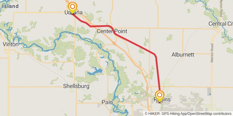
Starting at: Robins, Linn County, 52328
Ending at: a, Benton County, 52345
Distance: 28.1 km
Elevation gain: 111 m
Duration: 05:48:07
stage 135
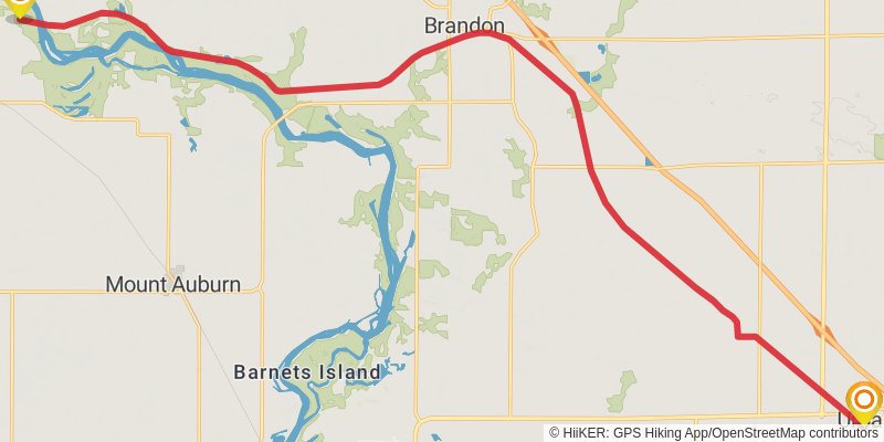
Starting at: a, Benton County, 52345
Ending at: La Porte City, Black Hawk County, 50651
Distance: 27.9 km
Elevation gain: 117 m
Duration: 05:46:04
stage 136
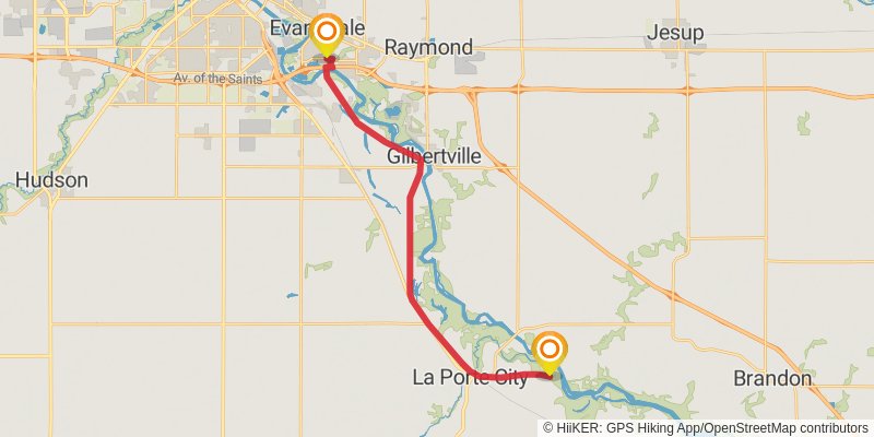
Starting at: La Porte City, Black Hawk County, 50651
Ending at: Evansdale, Black Hawk County, 50707
Distance: 24.7 km
Elevation gain: 43 m
Duration: 05:01:04
stage 137
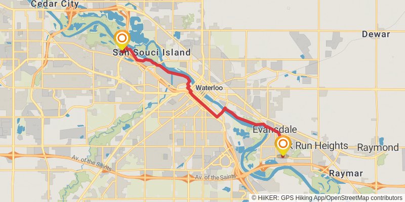
Starting at: Evansdale, Black Hawk County, 50707
Ending at: Waterloo, Black Hawk County, 50701
Distance: 14.1 km
Elevation gain: 48 m
Duration: 02:54:32
stage 138
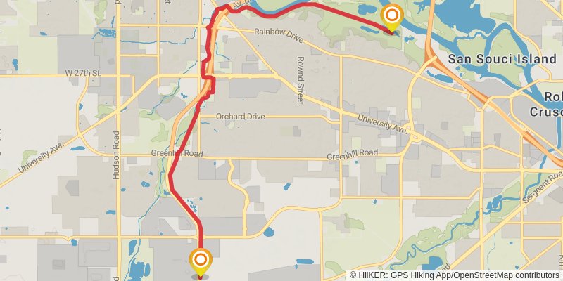
Starting at: Waterloo, Black Hawk County, 50701
Ending at: Cedar Falls, Black Hawk County, 50613
Distance: 10.1 km
Elevation gain: 84 m
Duration: 02:09:08
stage 139
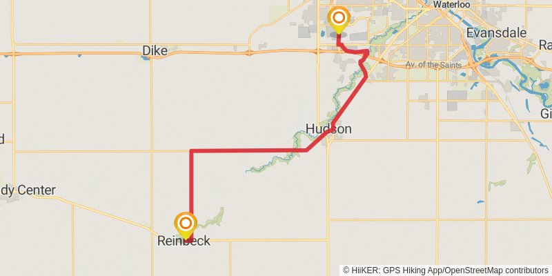
Starting at: Cedar Falls, Black Hawk County, 50613
Ending at: Reinbeck, Grundy County, 50669
Distance: 31.5 km
Elevation gain: 151 m
Duration: 06:32:45
stage 140
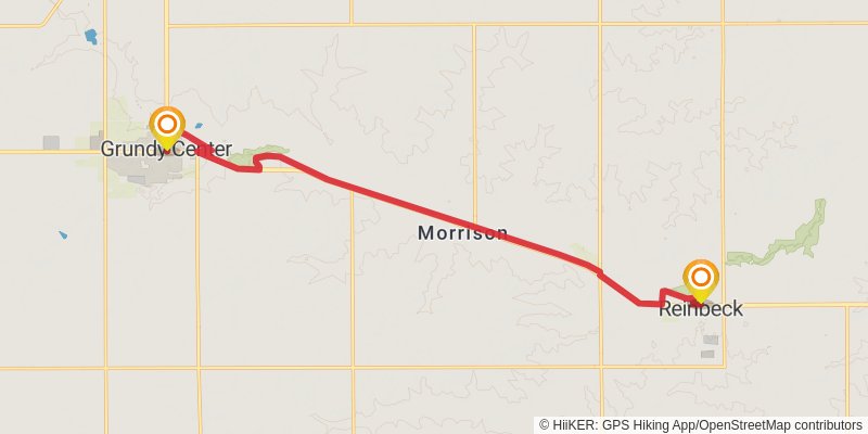
Starting at: Reinbeck, Grundy County, 50669
Ending at: Grundy Center, Grundy County, 50638
Distance: 17.5 km
Elevation gain: 80 m
Duration: 03:37:48
stage 141
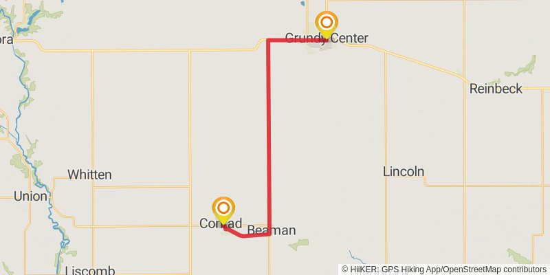
Starting at: Grundy County, 50638
Ending at: Conrad, Grundy County, 50621
Distance: 24.9 km
Elevation gain: 91 m
Duration: 05:08:21
stage 142
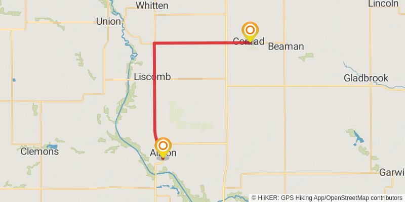
Starting at: Conrad, Grundy County, 50621
Ending at: Albion, Marshall County, 50005
Distance: 24.2 km
Elevation gain: 75 m
Duration: 04:58:25
stage 143
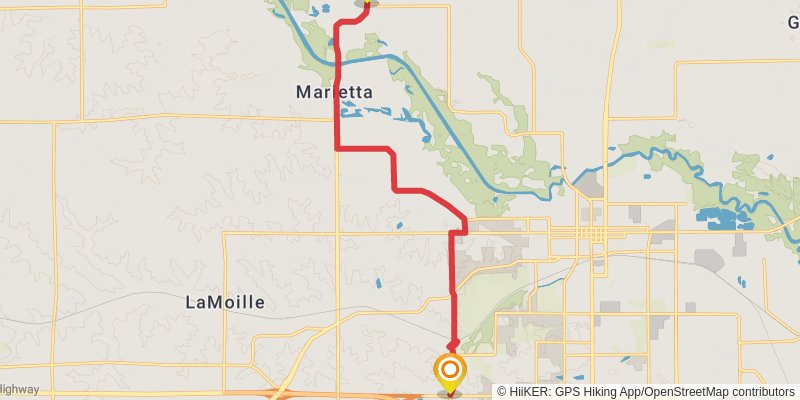
Starting at: Albion, Marshall County, 50005
Ending at: Marshalltown, Marshall County, 50158
Distance: 15.5 km
Elevation gain: 149 m
Duration: 03:20:16
stage 144
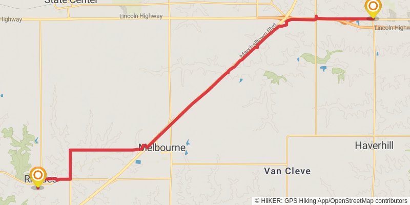
Starting at: Marshalltown, Marshall County, 50158
Ending at: Rhodes, Marshall County, 50234
Distance: 24.3 km
Elevation gain: 326 m
Duration: 05:24:18
stage 145
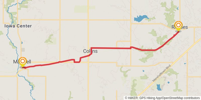
Starting at: Rhodes, Marshall County, 50234
Ending at: Maxwell, Story County, 50161
Distance: 20.7 km
Elevation gain: 127 m
Duration: 04:20:44
stage 146
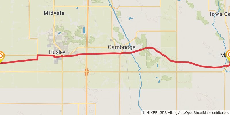
Starting at: Maxwell, Story County, 50161
Ending at: Slater, Story County, 50244
Distance: 25.0 km
Elevation gain: 177 m
Duration: 05:18:04
stage 147
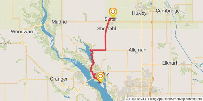
Starting at: Slater, Story County, 50244
Ending at: Polk City, Polk County, 50226
Distance: 22.6 km
Elevation gain: 246 m
Duration: 04:55:57
stage 148
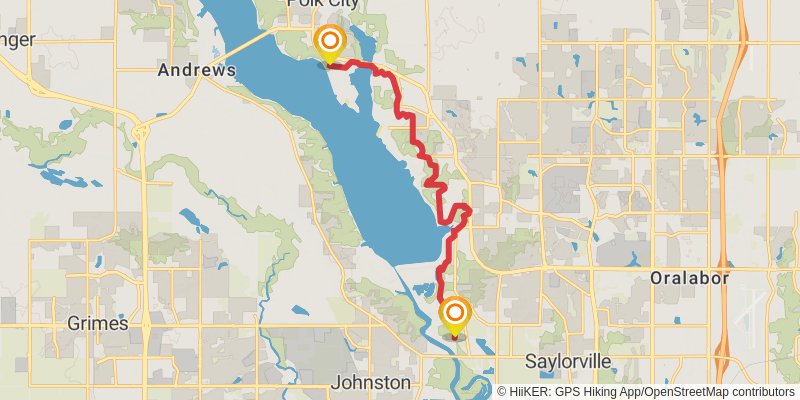
Starting at: Polk City, Polk County, 50226
Ending at: Johnston, Polk County, 50313
Distance: 14.1 km
Elevation gain: 376 m
Duration: 03:26:50
stage 149
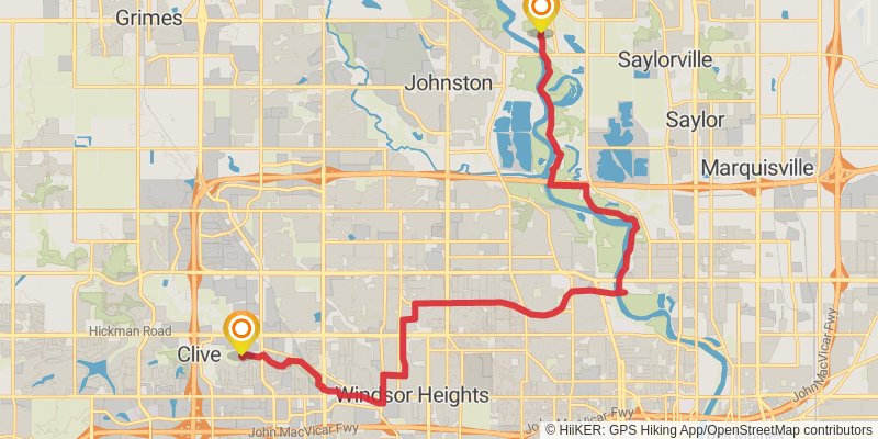
Starting at: Lovington, Polk County, 50313
Ending at: Clive, Polk County, 50325
Distance: 23.3 km
Elevation gain: 193 m
Duration: 04:59:13
stage 150
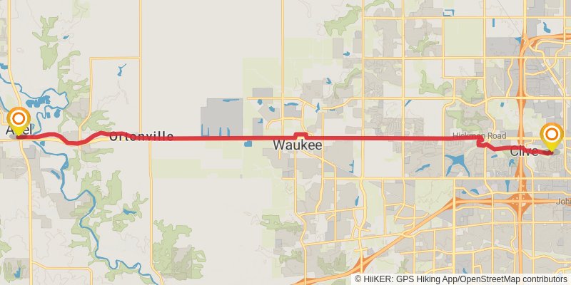
Starting at: Clive, Polk County, 50325
Ending at: Adel, Dallas County, 50003
Distance: 22.6 km
Elevation gain: 129 m
Duration: 04:44:40