American Discovery Trail North Route trail stages
stage 151
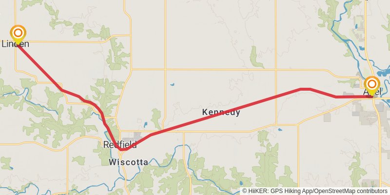
Starting at: Adel, Dallas County, 50003
Ending at: Linden, Dallas County, 50146
Distance: 24.5 km
Elevation gain: 158 m
Duration: 05:10:17
stage 152
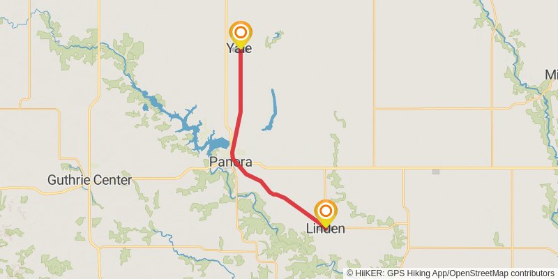
Starting at: Menlo, Dallas County, 50146
Ending at: Yale, Guthrie County, 50277
Distance: 18.8 km
Elevation gain: 104 m
Duration: 03:55:58
stage 153
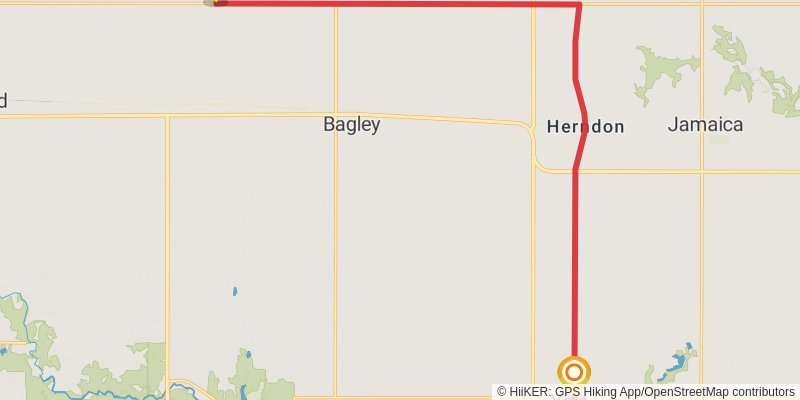
Starting at: Yale, Guthrie County, 50277
Ending at: Bagley, Greene County, 50026
Distance: 22.2 km
Elevation gain: 109 m
Duration: 04:37:25
stage 154
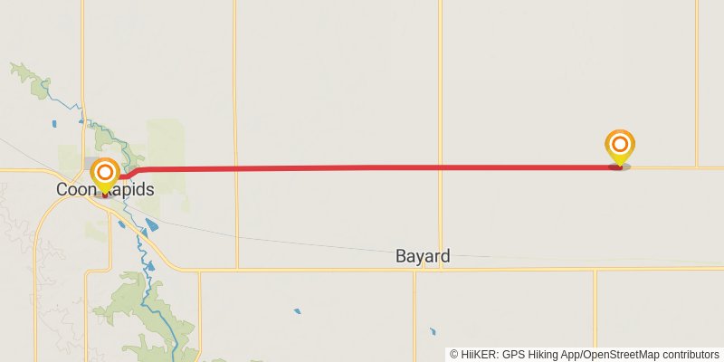
Starting at: Green Brier, Bagley, Greene County, 50026
Ending at: Coon Rapids, Carroll County, 50058
Distance: 16.9 km
Elevation gain: 117 m
Duration: 03:33:57
stage 155
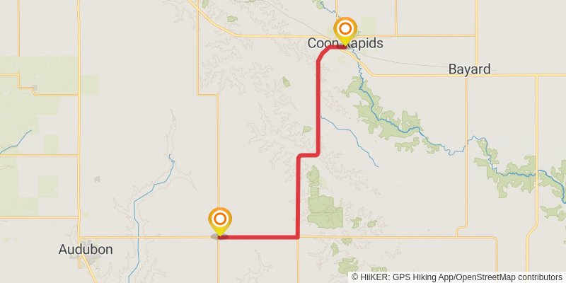
Starting at: Coon Rapids, Carroll County, 50058
Ending at: Audubon, Audubon County, 50025
Distance: 24.6 km
Elevation gain: 368 m
Duration: 05:31:23
stage 156
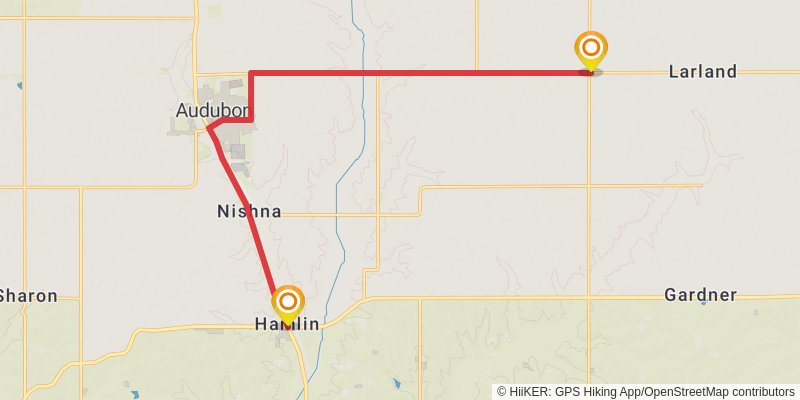
Starting at: Larland, Audubon, Audubon County, 50025
Ending at: Audubon, Audubon County, 50117
Distance: 18.5 km
Elevation gain: 196 m
Duration: 04:02:11
stage 157
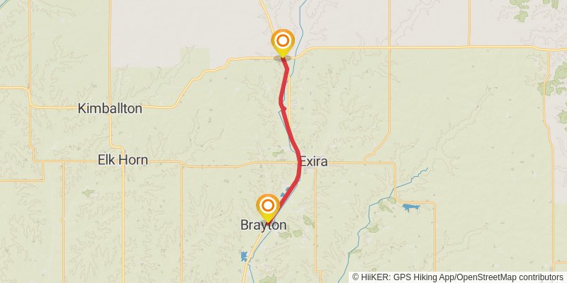
Starting at: Hamlin, Audubon County, 50117
Ending at: Brayton, Audubon County, 50042
Distance: 14.9 km
Elevation gain: 23 m
Duration: 03:01:12
stage 158
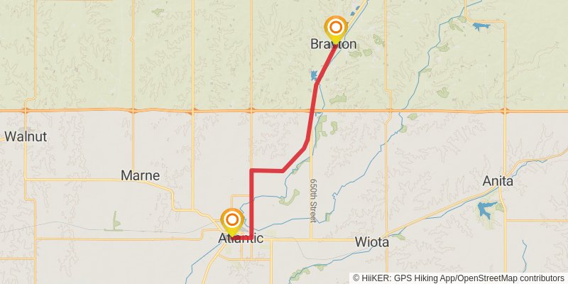
Starting at: Brayton, Audubon County, 50042
Ending at: Atlantic, Cass County, 50022
Distance: 20.9 km
Elevation gain: 106 m
Duration: 04:21:44
stage 159
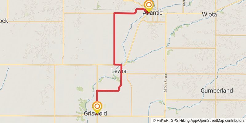
Starting at: Atlantic, Cass County, 50022
Ending at: Griswold, Cass County, 51535
Distance: 31.8 km
Elevation gain: 322 m
Duration: 06:53:49
stage 160
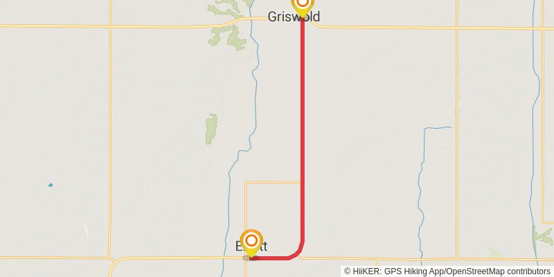
Starting at: Griswold, Cass County, 51535
Ending at: Elliott, Montgomery County, 51532
Distance: 12.0 km
Elevation gain: 50 m
Duration: 02:28:59
stage 161
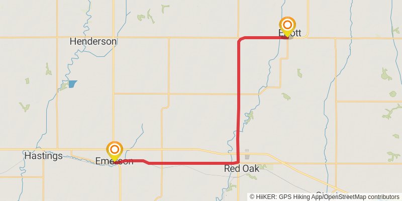
Starting at: Elliott, Montgomery County, 51532
Ending at: Emerson, Mills County, 51533
Distance: 34.0 km
Elevation gain: 276 m
Duration: 07:15:28
stage 162
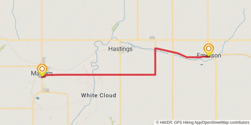
Starting at: Emerson, Mills County, 51533
Ending at: Malvern, Mills County, 51551
Distance: 18.0 km
Elevation gain: 150 m
Duration: 03:51:22
stage 163
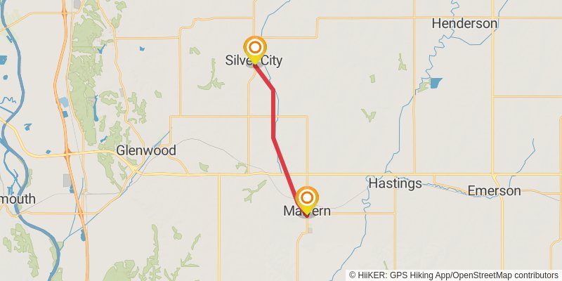
Starting at: Malvern, Mills County, 51551
Ending at: Silver City, Mills County, 51571
Distance: 13.6 km
Elevation gain: 62 m
Duration: 02:49:33
stage 164
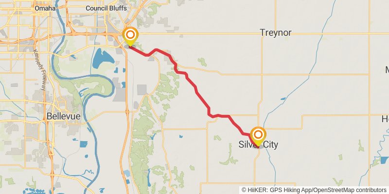
Starting at: Silver City, Mills County, 51571
Ending at: Bluffs, Pottawattamie County, 51503
Distance: 22.1 km
Elevation gain: 194 m
Duration: 04:44:14
stage 165
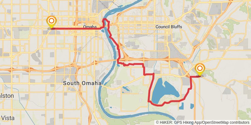
Starting at: Bluffs, Pottawattamie County, 51503
Ending at: Omaha, Douglas County, 68131
Distance: 24.9 km
Elevation gain: 175 m
Duration: 05:15:59
stage 166
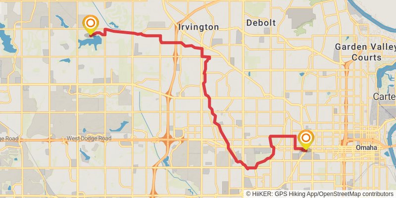
Starting at: Omaha, Douglas County, 68132
Ending at: Omaha, Douglas County, 68164
Distance: 22.3 km
Elevation gain: 304 m
Duration: 04:57:56
stage 167
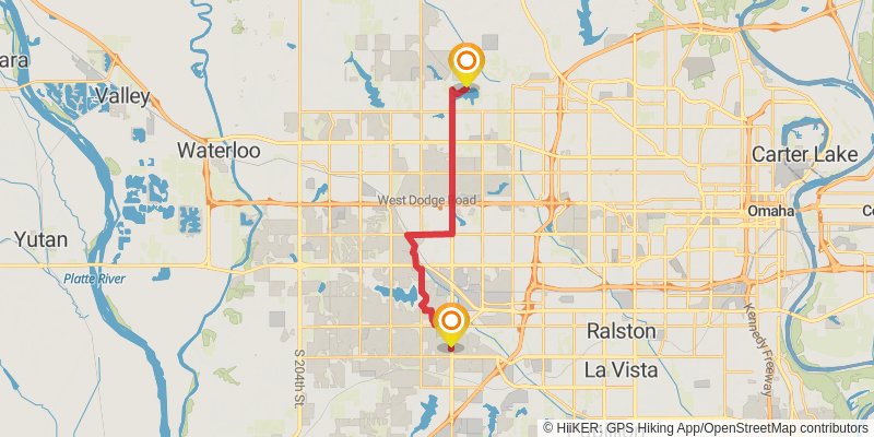
Starting at: Omaha, Douglas County, 68164
Ending at: Omaha, Douglas County, 68137
Distance: 19.4 km
Elevation gain: 353 m
Duration: 04:28:23
stage 168
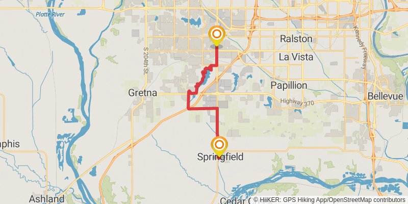
Starting at: Omaha, Douglas County, 68137
Ending at: Springfield, Sarpy County, 68059
Distance: 20.8 km
Elevation gain: 275 m
Duration: 04:37:27
stage 169
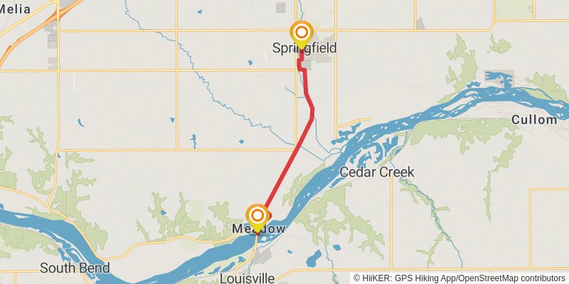
Starting at: Springfield, Sarpy County, 68059
Ending at: Platford-Springfield I, Sarpy County, 68059
Distance: 8.6 km
Elevation gain: 24 m
Duration: 01:45:18
stage 170
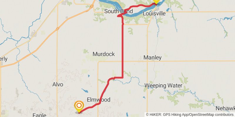
Starting at: Platford-Springfield I, Sarpy County, 68059
Ending at: Eagle, Cass County, 68349
Distance: 35.1 km
Elevation gain: 356 m
Duration: 07:37:12
stage 171
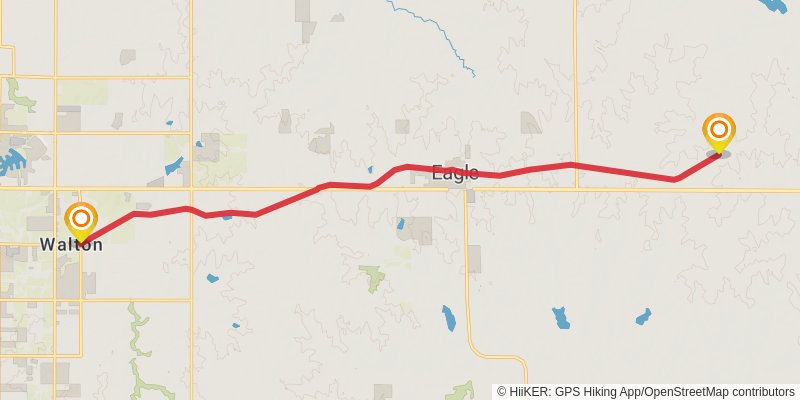
Starting at: Eagle, Cass County, 68349
Ending at: Walton, Lancaster County, 68520
Distance: 19.4 km
Elevation gain: 107 m
Duration: 04:03:30
stage 172
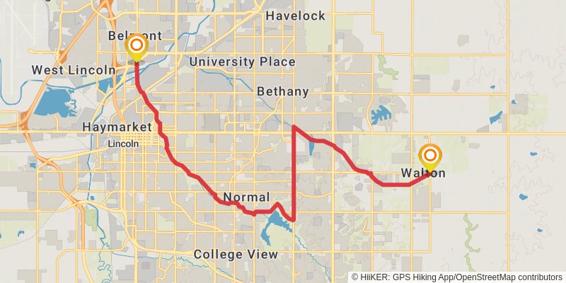
Starting at: Walton, Lancaster County, 68520
Ending at: Lincoln, Lancaster County, 68521
Distance: 21.6 km
Elevation gain: 147 m
Duration: 04:33:45
stage 173
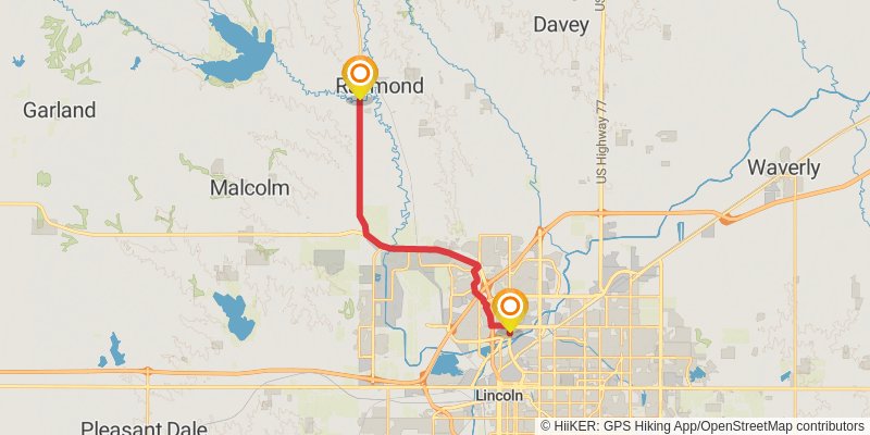
Starting at: Lincoln, Lancaster County, 68521
Ending at: Elk, Lancaster County, 68428
Distance: 19.7 km
Elevation gain: 189 m
Duration: 04:15:35
stage 174
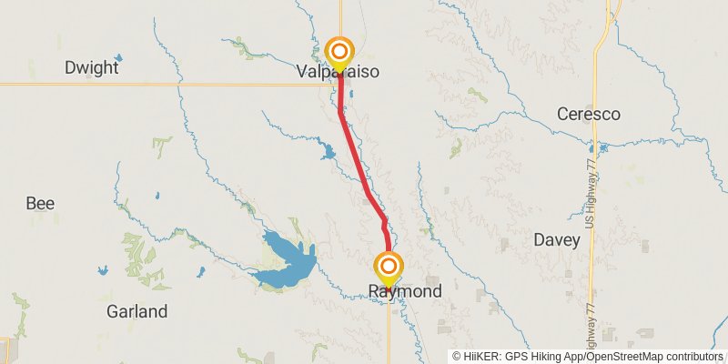
Starting at: West Oak, Lancaster County, 68428
Distance: 14.4 km
Elevation gain: 40 m
Duration: 02:56:47
stage 175
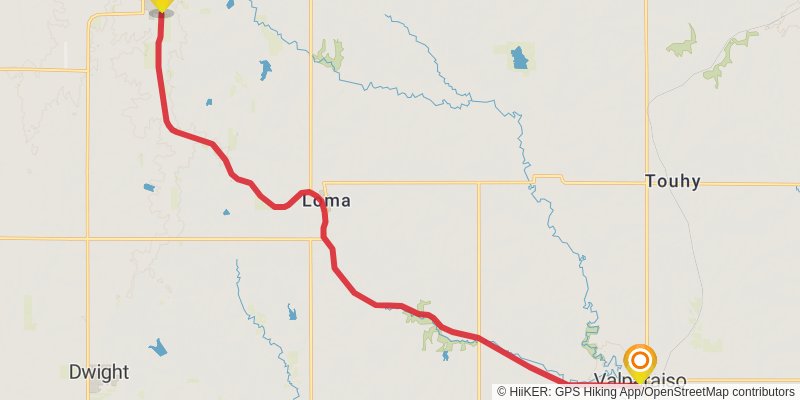
Starting at: Valparaiso, Saunders County, 68065
Ending at: Brainard, Butler County, 68626
Distance: 20.8 km
Elevation gain: 209 m
Duration: 04:30:13
stage 176
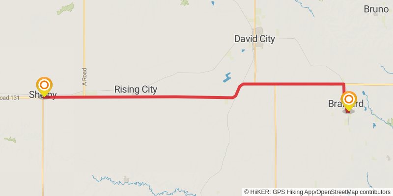
Starting at: Brainard, Butler County, 68626
Ending at: Shelby, Polk County, 68662
Distance: 39.6 km
Elevation gain: 154 m
Duration: 08:10:11
stage 177
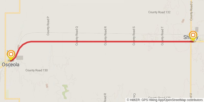
stage 178
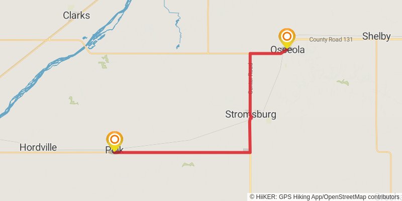
Starting at: Osceola, Polk County, 68651
Ending at: Polk, Polk County, 68654
Distance: 31.6 km
Elevation gain: 147 m
Duration: 06:34:00
stage 179
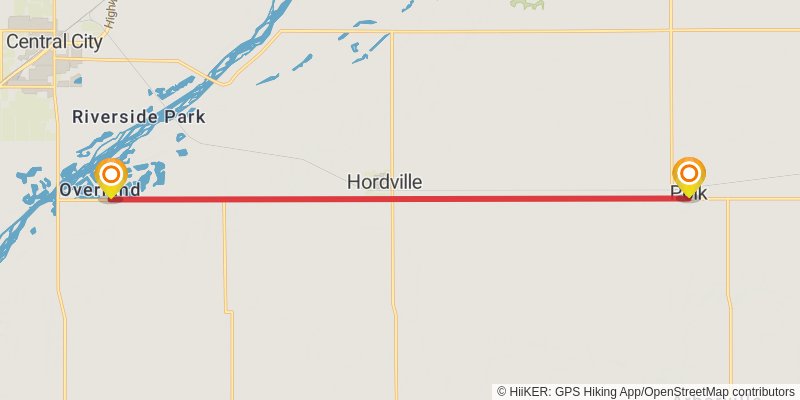
Starting at: Polk, Polk County, 68654
Ending at: Overland, Hamilton County, 68854
Distance: 16.9 km
Elevation gain: 54 m
Duration: 03:27:56
stage 180
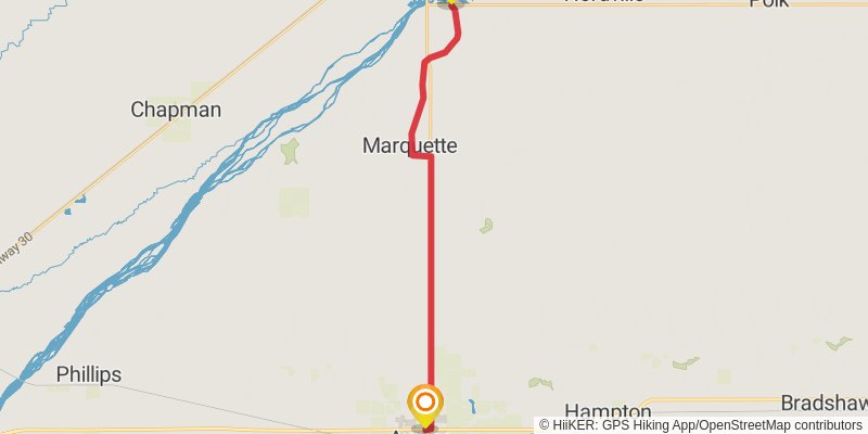
Starting at: Hordville, Hamilton County, 68854
Ending at: Aurora, Hamilton County, 68818
Distance: 25.1 km
Elevation gain: 77 m
Duration: 05:09:21