American Discovery Trail North Route trail stages
stage 181
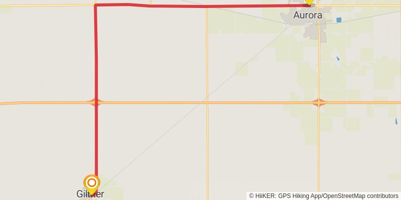
Starting at: Aurora, Hamilton County, 68818
Distance: 23.6 km
Elevation gain: 68 m
Duration: 04:50:05
stage 182
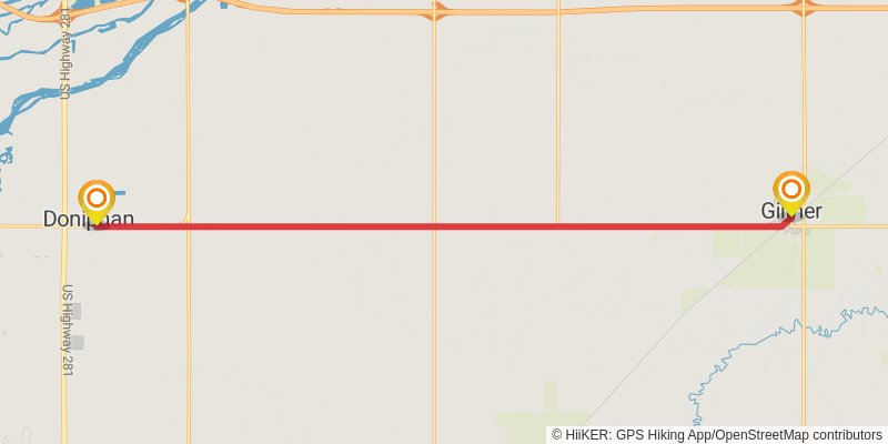
Starting at: Giltner, Hamilton County, 68841
Ending at: Doniphan, Hall County, 68832
Distance: 18.4 km
Elevation gain: 83 m
Duration: 03:49:34
stage 183
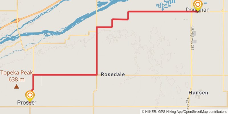
Starting at: Doniphan, Hall County, 68832
Ending at: Prosser, Adams County, 68883
Distance: 26.0 km
Elevation gain: 71 m
Duration: 05:19:22
stage 184
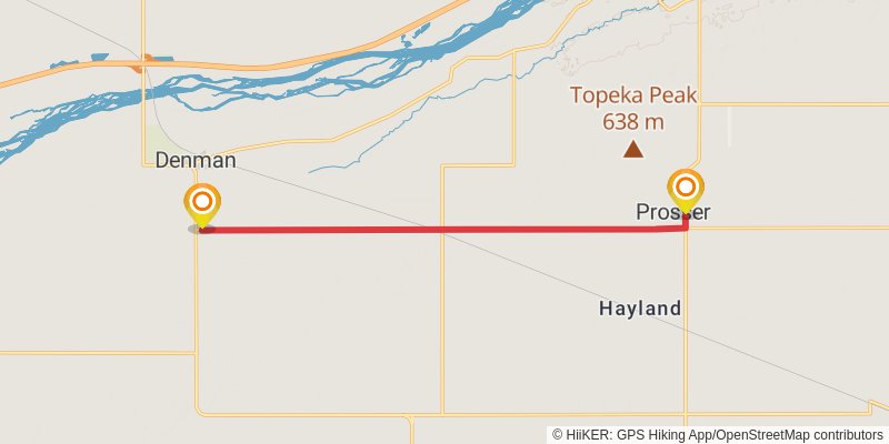
Starting at: Prosser, Adams County, 68883
Ending at: Prosser, Adams County, 68956
Distance: 13.1 km
Elevation gain: 18 m
Duration: 02:39:25
stage 185
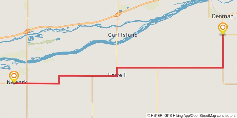
Starting at: Kenesaw Township, Adams County, 68956
Ending at: Newark, Kearney County, 68847
Distance: 25.6 km
Elevation gain: 37 m
Duration: 05:10:44
stage 186
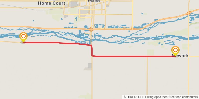
Starting at: Newark Township, Kearney County, 68847
Ending at: Kearney, Kearney County, 68845
Distance: 18.9 km
Elevation gain: 26 m
Duration: 03:49:50
stage 187
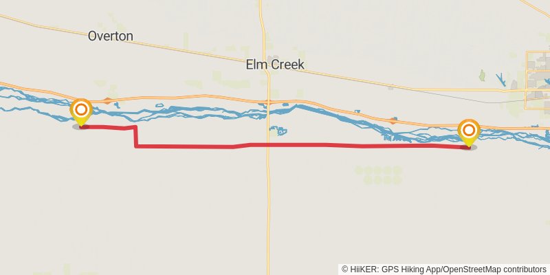
Starting at: Funk, Phelps County, 68940
Ending at: , Phelps County, 68863
Distance: 34.4 km
Elevation gain: 69 m
Duration: 06:59:39
stage 188
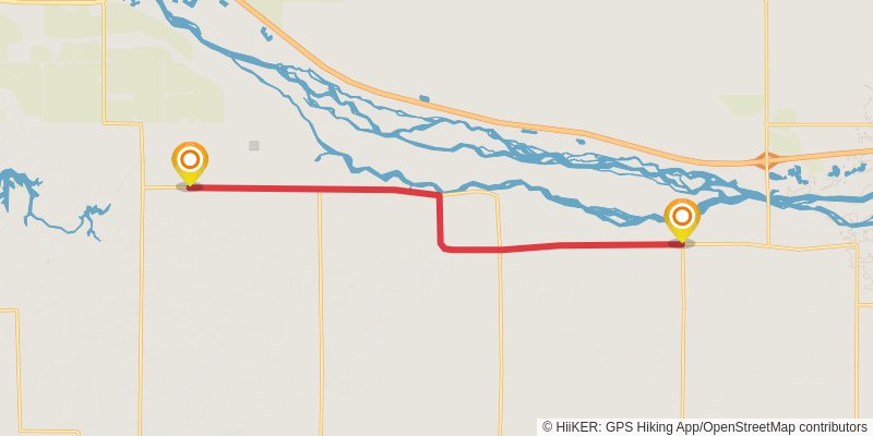
Starting at: Westside Township, Phelps County, 68927
Ending at: Robb, Gosper County, 68850
Distance: 14.6 km
Elevation gain: 49 m
Duration: 02:59:45
stage 189
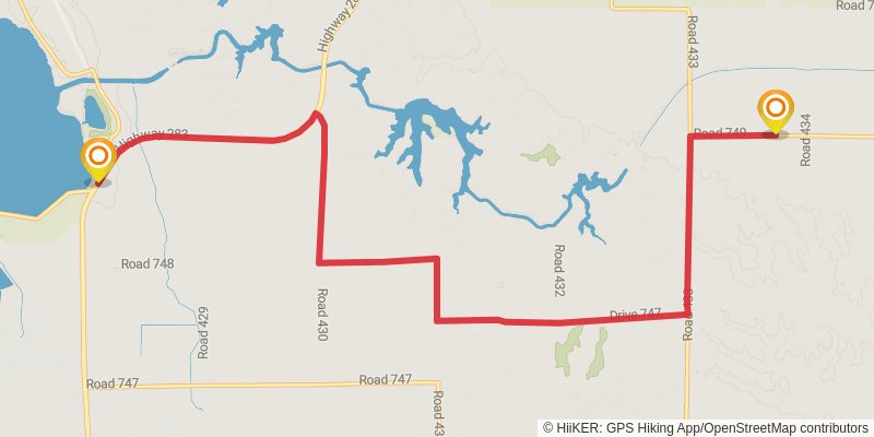
Starting at: Lexington, Gosper County, 68850
Ending at: Bethel, Gosper County, 68937
Distance: 14.7 km
Elevation gain: 199 m
Duration: 03:15:59
stage 190
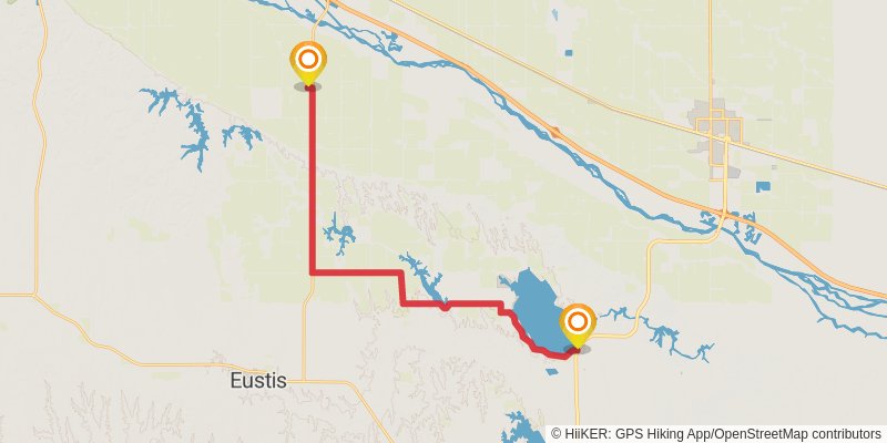
Starting at: Sandy Point, Elwood, Gosper County, 68937
Ending at: Cozad, Dawson County, 69130
Distance: 28.4 km
Elevation gain: 124 m
Duration: 05:53:42
stage 191
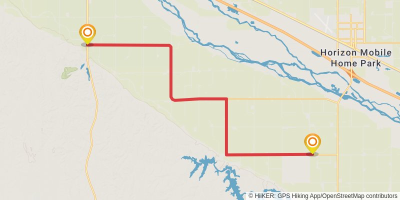
Starting at: Cozad, Dawson County, 69130
Ending at: Gothenburg, Dawson County, 69138
Distance: 19.3 km
Elevation gain: 58 m
Duration: 03:57:03
stage 192
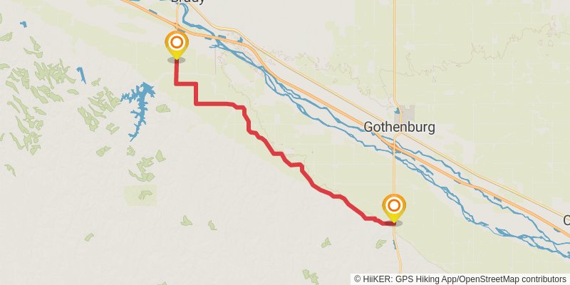
Starting at: Gothenburg, Dawson County, 69138
Ending at: Brady, Lincoln County, 69123
Distance: 27.6 km
Elevation gain: 76 m
Duration: 05:38:37
stage 193
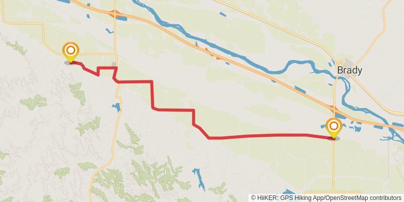
Starting at: Brady, Lincoln County, 69123
Ending at: Maxwell, Lincoln County, 69151
Distance: 19.2 km
Elevation gain: 82 m
Duration: 03:58:22
stage 194
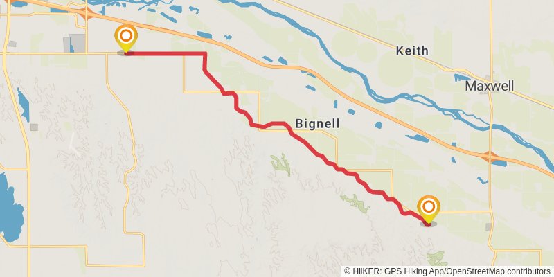
Starting at: Bignell, Maxwell, Lincoln County, 69151
Ending at: North Platte, Lincoln County, 69101
Distance: 17.4 km
Elevation gain: 47 m
Duration: 03:33:55
stage 195
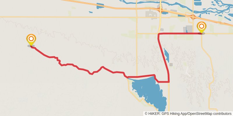
Starting at: North Platte, Lincoln County, 69101
Ending at: Lincoln County, 69101
Distance: 25.3 km
Elevation gain: 235 m
Duration: 05:27:15
stage 196
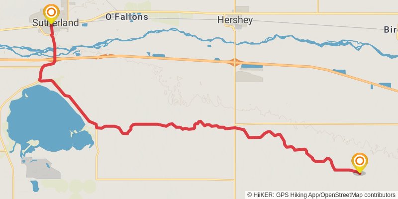
Starting at: Lincoln County, 69101
Ending at: Sutherland, Lincoln County, 69165
Distance: 26.9 km
Elevation gain: 156 m
Duration: 05:38:06
stage 197
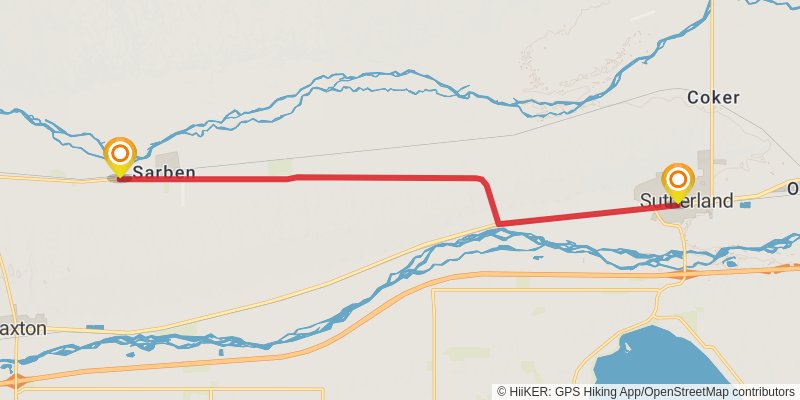
Starting at: Sutherland, Lincoln County, 69165
Ending at: Paxton, Keith County, 69155
Distance: 17.2 km
Elevation gain: 59 m
Duration: 03:32:36
stage 198
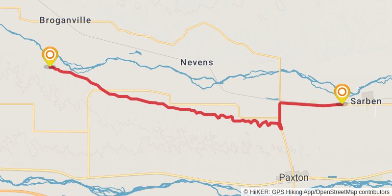
Starting at: Paxton, Keith County, 69155
Ending at: Paxton, Keith County, 69155
Distance: 20.9 km
Elevation gain: 208 m
Duration: 04:31:01
stage 199
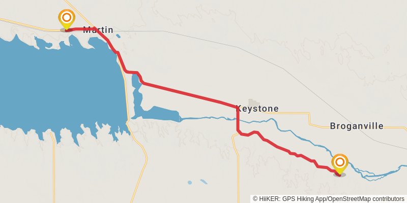
Starting at: Keystone, Paxton, Keith County, 69155
Ending at: Martin, Keith County, 69146
Distance: 19.8 km
Elevation gain: 140 m
Duration: 04:11:23
stage 200
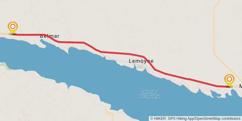
Starting at: Martin, Keith County, 69146
Ending at: Lonergan, Keith County, 69147
Distance: 21.8 km
Elevation gain: 290 m
Duration: 04:50:50
stage 201
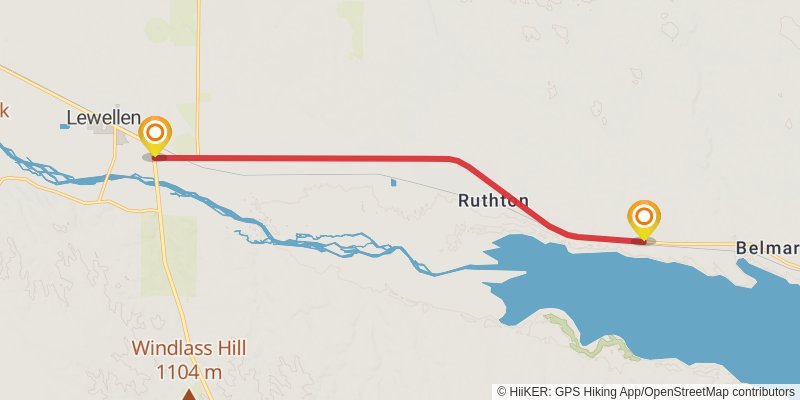
Starting at: Belmar, Keith County, 69147
Ending at: Blue Creek, Garden County, 69147
Distance: 14.7 km
Elevation gain: 116 m
Duration: 03:08:29
stage 202
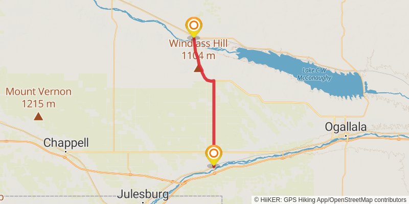
Starting at: Blue Creek, Garden County, 69147
Ending at: Big Springs, Deuel County, 69122
Distance: 31.1 km
Elevation gain: 201 m
Duration: 06:32:51
stage 203
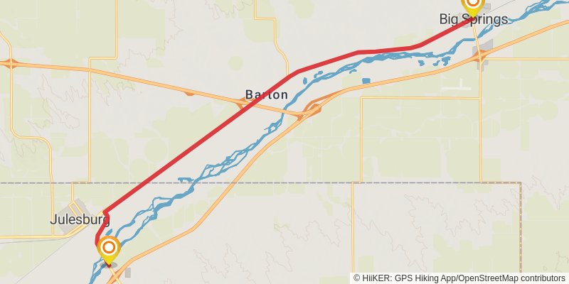
Starting at: Big Springs, Deuel County, 69122
Ending at: Julesburg, Sedgwick County, 80737
Distance: 20.0 km
Elevation gain: 48 m
Duration: 04:05:13
stage 204
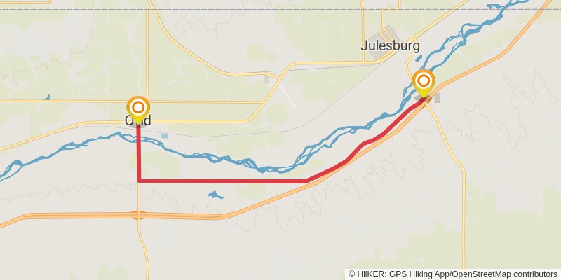
Starting at: Julesburg, Sedgwick County, 80737
Ending at: Ovid, Sedgwick County, 80744
Distance: 15.3 km
Elevation gain: 52 m
Duration: 03:08:41
stage 205
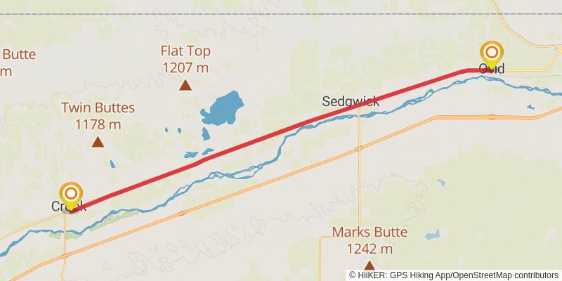
Starting at: Ovid, Sedgwick County, 80744
Ending at: Crook, Logan County, 80726
Distance: 37.0 km
Elevation gain: 55 m
Duration: 07:29:43
stage 206
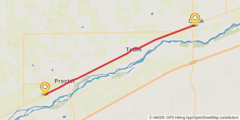
Starting at: Crook, Logan County, 80726
Ending at: Iliff, Logan County, 80736
Distance: 16.5 km
Elevation gain: 25 m
Duration: 03:20:30
stage 207
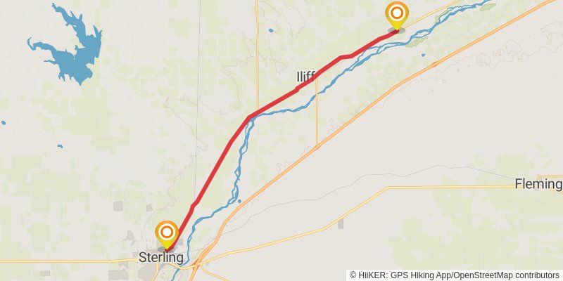
Starting at: Tobin, Iliff, Logan County, 80736
Ending at: Sterling, Logan County, 80751
Distance: 27.6 km
Elevation gain: 44 m
Duration: 05:35:43
stage 208
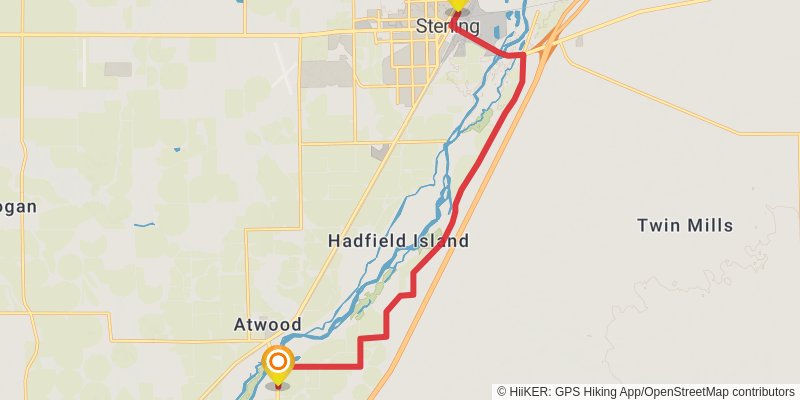
Starting at: Sterling, Logan County, 80751
Ending at: Atwood, Logan County, 80722
Distance: 17.0 km
Elevation gain: 37 m
Duration: 03:28:14
stage 209
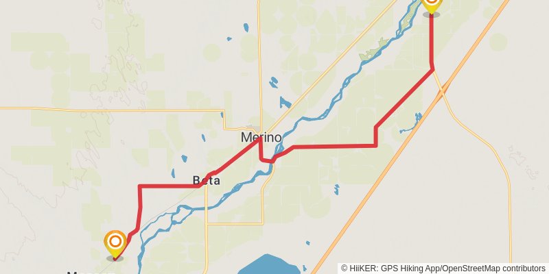
Starting at: Atwood, Logan County, 80722
Ending at: Merino, Logan County, 80741
Distance: 22.0 km
Elevation gain: 72 m
Duration: 04:30:47
stage 210
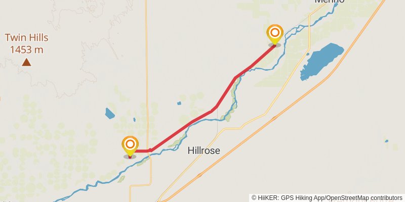
Starting at: Messex, Merino, Washington County, 80741
Ending at: Snyder, Morgan County, 80750
Distance: 22.2 km
Elevation gain: 47 m
Duration: 04:31:05