American Discovery Trail North Route trail stages
stage 211
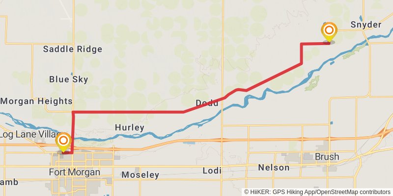
Starting at: Snyder, Morgan County, 80750
Ending at: Fort Morgan, Morgan County, 80701
Distance: 20.3 km
Elevation gain: 59 m
Duration: 04:09:53
stage 212
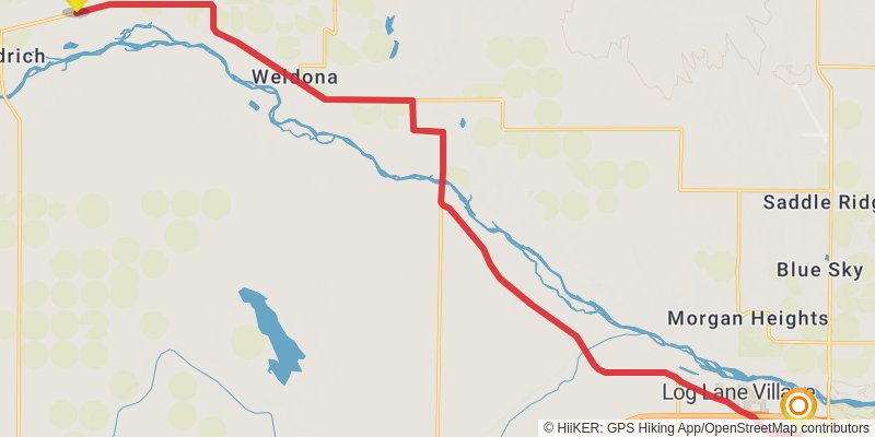
Starting at: Fort Morgan, Morgan County, 80701
Ending at: Jackson Lake, Morgan County, 80653
Distance: 26.9 km
Elevation gain: 61 m
Duration: 05:28:40
stage 213
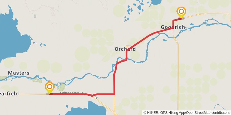
Starting at: Jackson Lake, Morgan County, 80653
Ending at: Orchard, Weld County, 80649
Distance: 19.7 km
Elevation gain: 52 m
Duration: 04:01:49
stage 214
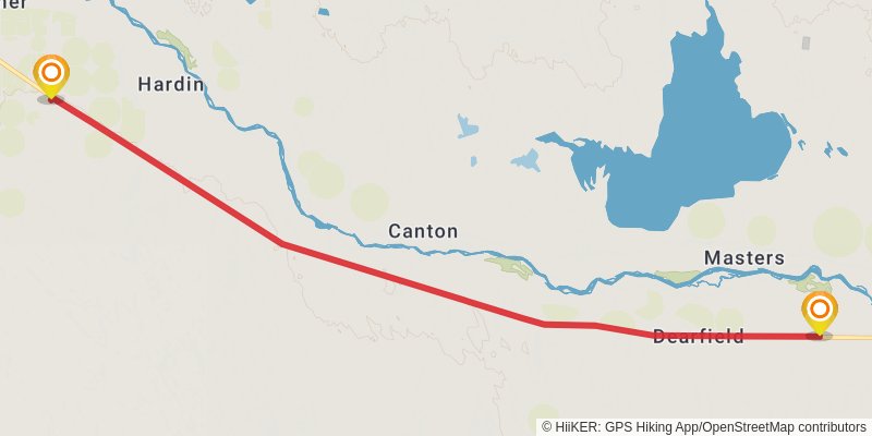
Starting at: Dearfield, Orchard, Weld County, 80649
Ending at: Kersey, Weld County, 80644
Distance: 22.1 km
Elevation gain: 56 m
Duration: 04:30:40
stage 215
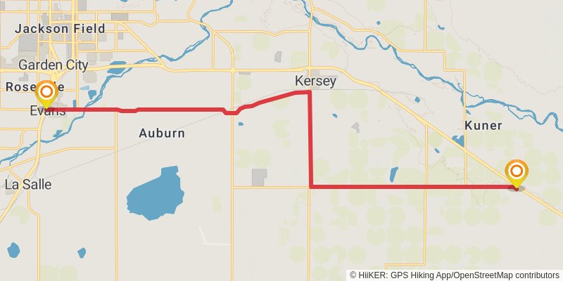
Starting at: Kersey, Weld County, 80644
Ending at: Evans, Weld County, 80620
Distance: 23.7 km
Elevation gain: 53 m
Duration: 04:50:06
stage 216
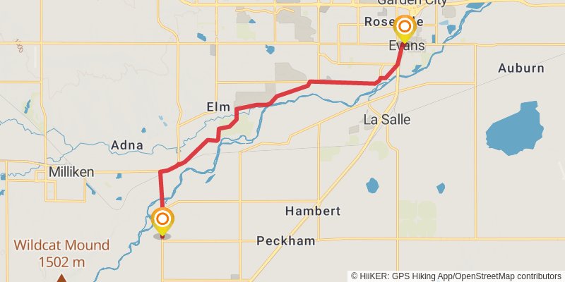
Starting at: Evans, Weld County, 80620
Ending at: Milliken, Weld County, 80651
Distance: 17.4 km
Elevation gain: 54 m
Duration: 03:34:46
stage 217
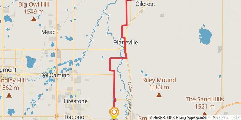
Starting at: Platteville, Weld County, 80651
Ending at: Fort Lupton, Weld County, 80621
Distance: 29.9 km
Elevation gain: 96 m
Duration: 06:08:44
stage 218
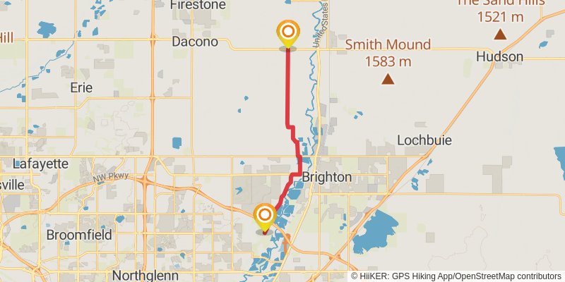
Starting at: Fort Lupton, Weld County, 80621
Ending at: Todd Creek, Adams County, 80602
Distance: 17.3 km
Elevation gain: 54 m
Duration: 03:32:38
stage 219
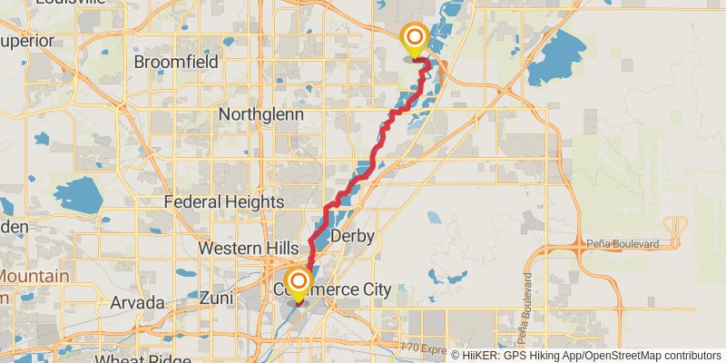
Starting at: Henderson, Adams County, 80602
Distance: 22.7 km
Elevation gain: 74 m
Duration: 04:39:55
stage 220
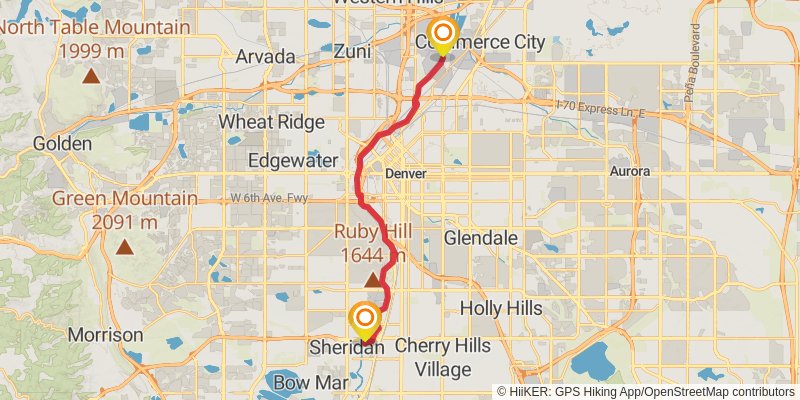
Starting at: Commerce City, Adams County, 80022
Ending at: Sheridan, Arapahoe County, 80110
Distance: 21.7 km
Elevation gain: 134 m
Duration: 04:33:23
stage 221
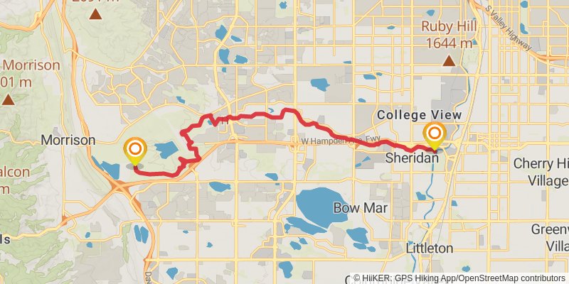
Starting at: Englewood, Arapahoe County, 80110
Ending at: BCLP RR01, Lakewood, Jefferson County, 80465
Distance: 18.2 km
Elevation gain: 224 m
Duration: 04:00:46
stage 222
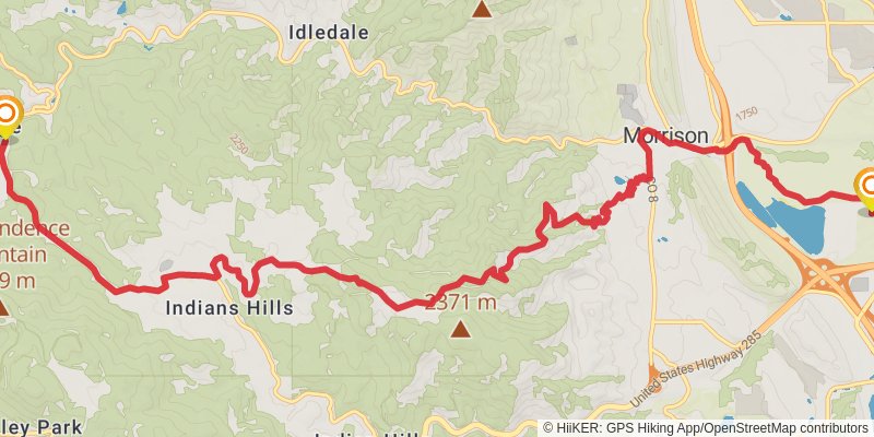
Starting at: Lakewood, Jefferson County, 80465
Ending at: Kittredge, Jefferson County, 80457
Distance: 19.3 km
Elevation gain: 811 m
Duration: 05:13:01
stage 223
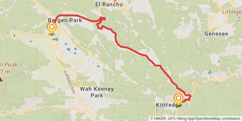
Starting at: Kittredge, Jefferson County, 80457
Ending at: Evergreen, Jefferson County, 80439
Distance: 11.4 km
Elevation gain: 402 m
Duration: 02:57:31
stage 224
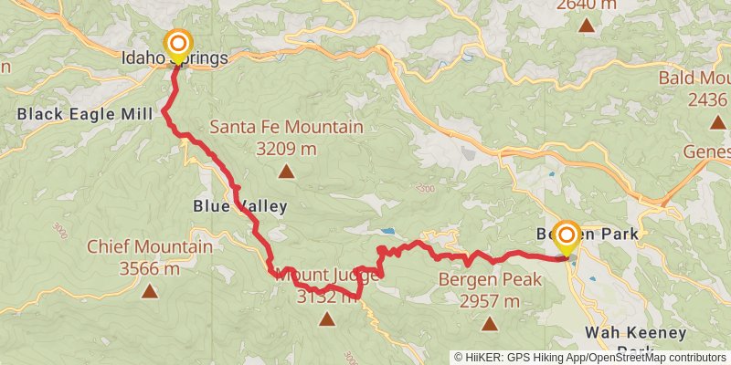
Starting at: Evergreen, Jefferson County, 80439
Ending at: Idaho Springs, Clear Creek County, 80452
Distance: 22.9 km
Elevation gain: 662 m
Duration: 05:40:38
stage 225
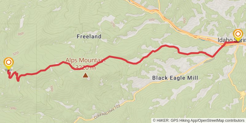
Distance: 13.8 km
Elevation gain: 1138 m
Duration: 04:38:59
stage 226
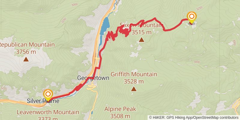
Starting at: Downieville-Lawson-Dumont, Clear Creek County, 80452
Ending at: Silver Plume, Clear Creek County, 80476
Distance: 16.5 km
Elevation gain: 393 m
Duration: 03:57:25
stage 227
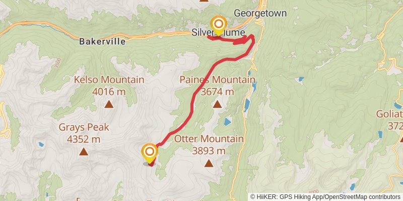
Starting at: Clear Creek County, 80476
Ending at: Silver Plume, Clear Creek County, 80476
Distance: 16.0 km
Elevation gain: 1142 m
Duration: 05:06:23
stage 228
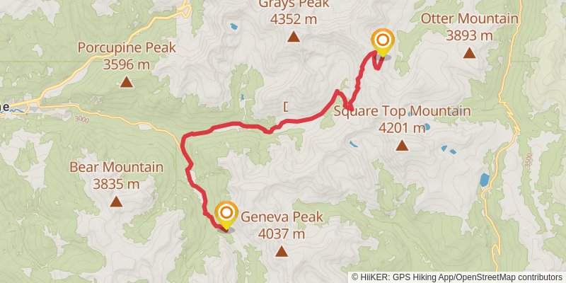
Starting at: Silver Plume, Clear Creek County, 80476
Ending at: Keystone, Summit County, 80435
Distance: 17.8 km
Elevation gain: 562 m
Duration: 04:30:10
stage 229
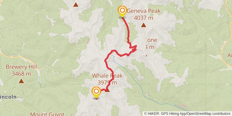
Starting at: Montezuma, Keystone, Summit County, 80435
Ending at: Keystone, Summit County, 80424
Distance: 14.8 km
Elevation gain: 982 m
Duration: 04:35:35
stage 230
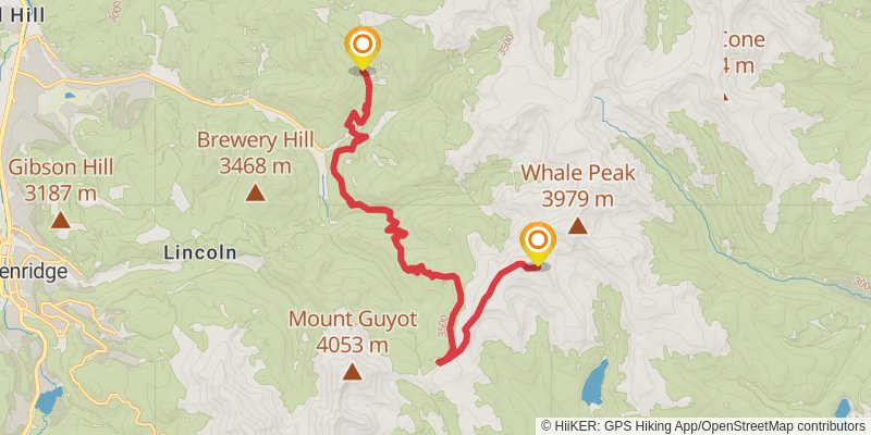
Starting at: Keystone, Summit County, 80424
Ending at: Keystone, Summit County, 80424
Distance: 18.6 km
Elevation gain: 475 m
Duration: 04:30:33
stage 231
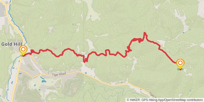
Starting at: Summit County, 80424
Ending at: Breckenridge, Summit County, 80424
Distance: 16.8 km
Elevation gain: 352 m
Duration: 03:57:03
stage 232
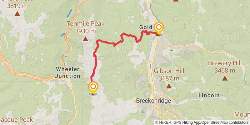
Starting at: Breckenridge, Summit County, 80424
Ending at: Copper Mountain, Summit County, 80443
Distance: 15.7 km
Elevation gain: 1159 m
Duration: 05:03:58
stage 233
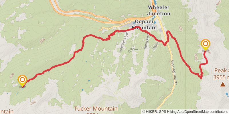
Starting at: Wheeler Junction, Summit County, 80443
Ending at: Copper Mountain, Summit County, 80443
Distance: 16.8 km
Elevation gain: 698 m
Duration: 04:30:57
stage 234
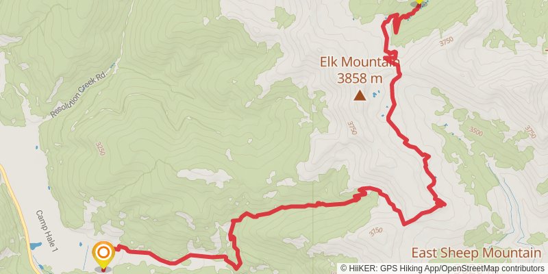
Starting at: Copper Mountain, Summit County, 80443
Ending at: Red Cliff, Eagle County, 81649
Distance: 18.3 km
Elevation gain: 517 m
Duration: 04:31:06
stage 235
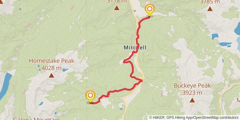
Starting at: Mitchell, Red Cliff, Eagle County, 81649
Ending at: Leadville, Lake County, 80461
Distance: 17.2 km
Elevation gain: 663 m
Duration: 04:32:31
stage 236
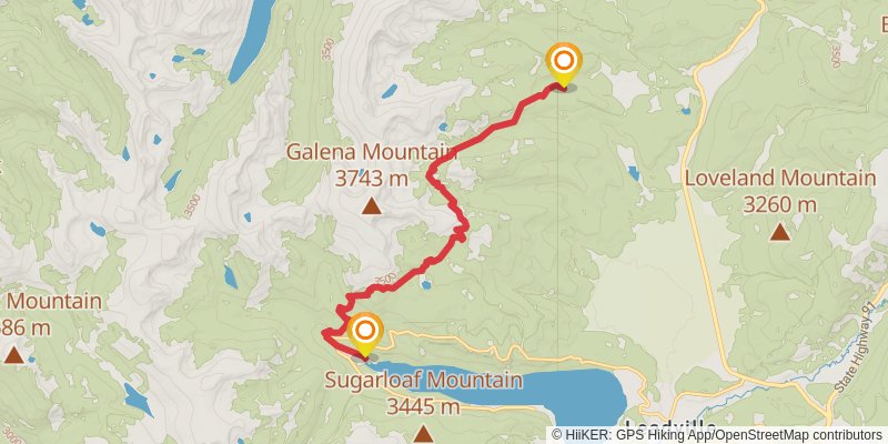
Starting at: Lake County, 80461
Ending at: Lake County, 80461
Distance: 15.3 km
Elevation gain: 606 m
Duration: 04:04:11
stage 237
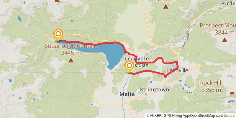
Starting at: Lake County, 80461
Ending at: Leadville North, Lake County, 80461
Distance: 20.7 km
Elevation gain: 310 m
Duration: 04:39:43
stage 238
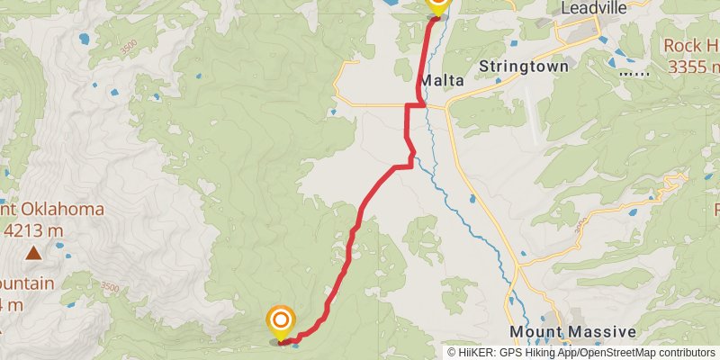
Starting at: Leadville North, Lake County, 80461
Ending at: Leadville, Lake County, 80461
Distance: 13.9 km
Elevation gain: 215 m
Duration: 03:07:59
stage 239
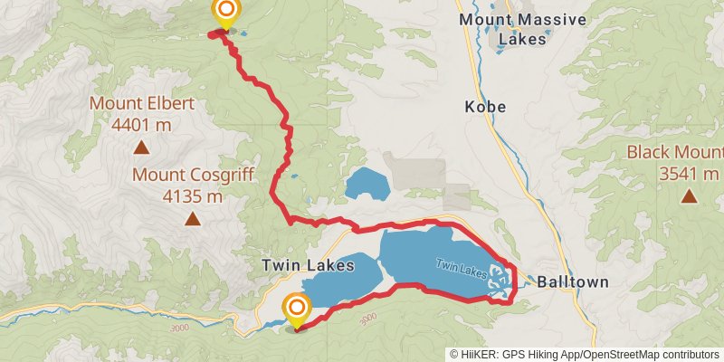
Starting at: Malta, Leadville, Lake County, 80461
Ending at: Twin Lakes, Lake County, 81251
Distance: 27.4 km
Elevation gain: 613 m
Duration: 06:30:20
stage 240
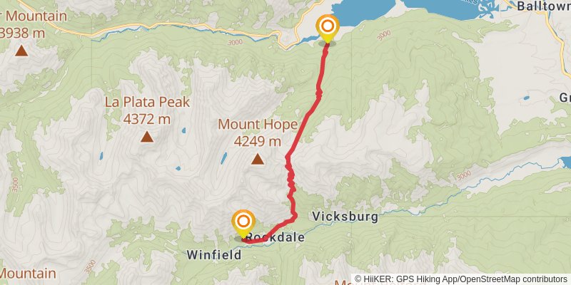
Starting at: Twin Lakes, Lake County, 81251
Ending at: Buena Vista, Chaffee County, 81211
Distance: 12.5 km
Elevation gain: 1135 m
Duration: 04:23:35