Download
3D Flyover
Add to list
More
22.6 km
~6 hrs 16 min
1047 m
Loop
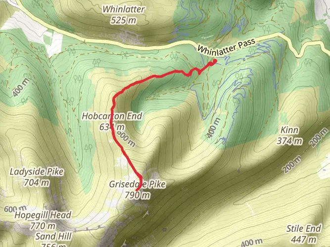
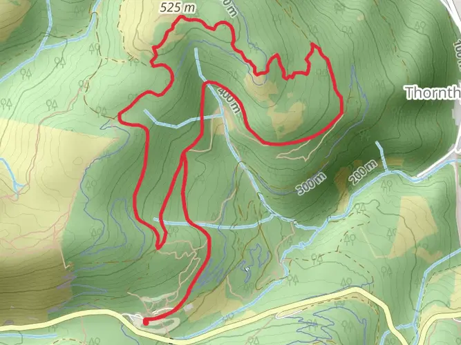
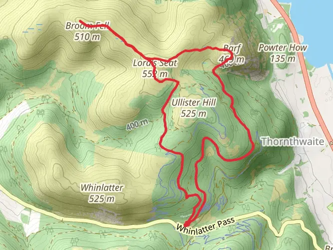
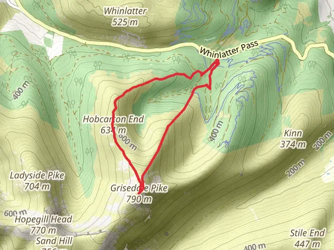
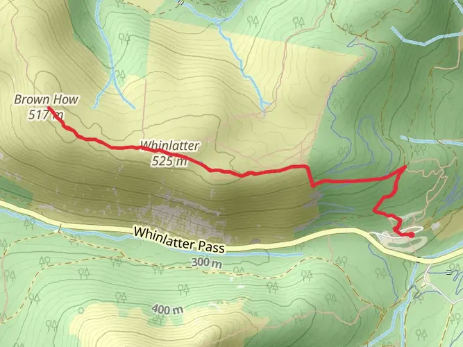
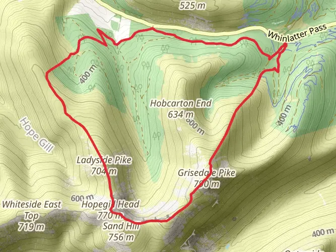
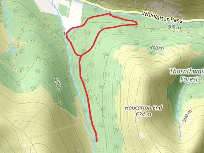
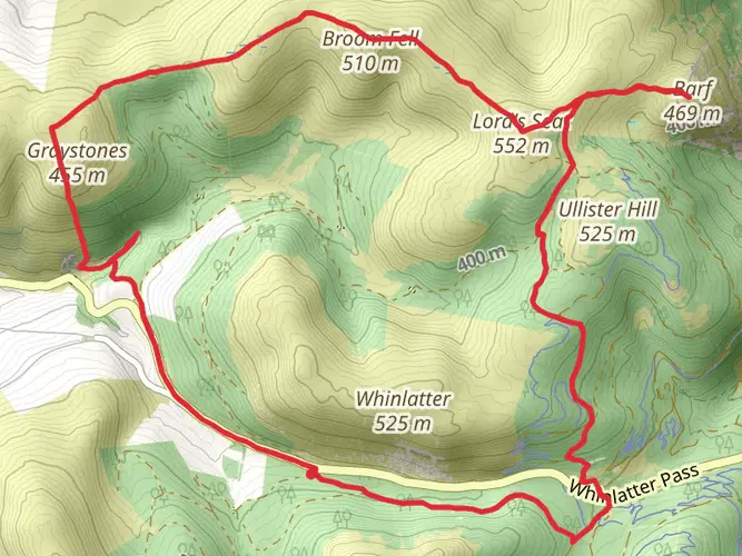
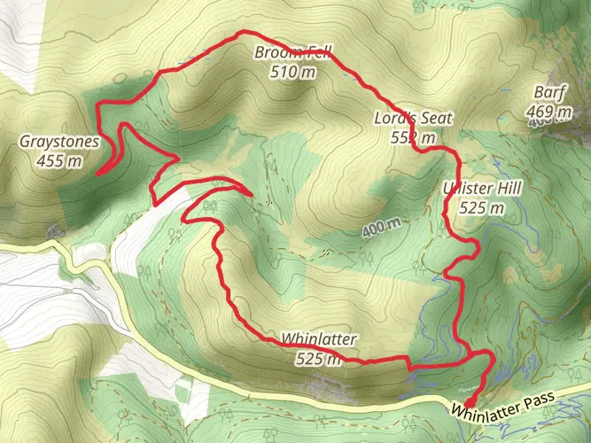
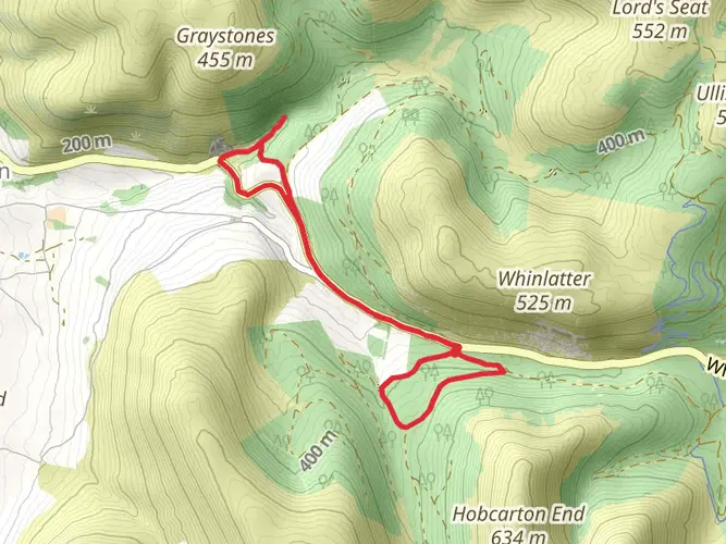
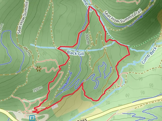
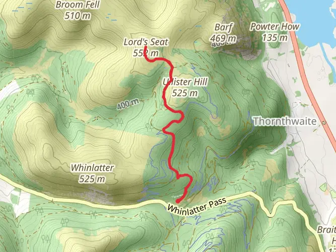
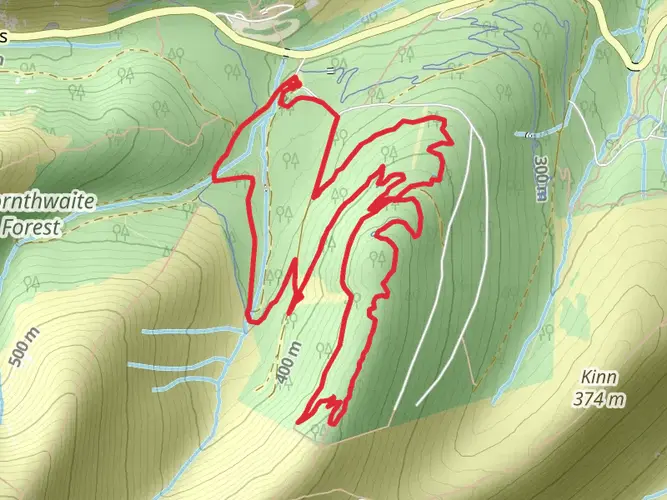
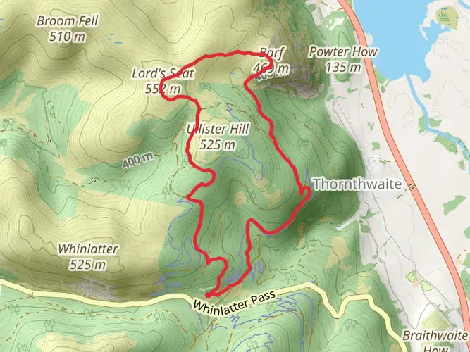
Embark on the captivating Whinlatter Forest hike on Mar 10, a medium difficulty trail that promises an unforgettable adventure. Unfolding over a distance of 22.58 km, this day trek, which lasts for about 376 minutes, offers an immersive experience into the heart of Keswick, England. The trail will challenge you with an elevation gain of 1052 m and an elevation loss of 1140 m, making for quite the rewarding workout. Commencing your journey from Whinlatter Forest, immerse yourself in the lush natural beauty, then circle back to your starting point, offering a unique sense of accomplishment. Explore this one-day trail for an adrenaline-charged voyage in the lap of nature. Experience England like never before and make indelible memories.
AI Planner
Days planned around your pace, with somewhere to stay each night.

Surfaces
Unknown
Grass
Gravel
Asphalt
Compacted Gravel
Unpaved
Paving Stones
Comments and Reviews
User comments, reviews and discussions about the Whinlatter 7, England.
average rating out of 5
0 rating(s)