The best hikes in Rhein-Neckar-Kreis
Germany · 73 HiiKER Hikes
View Hikes on map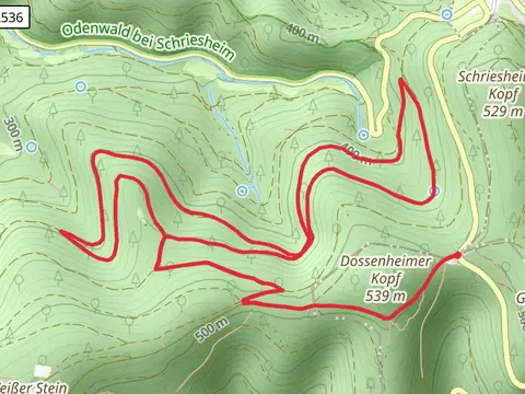

What to expect
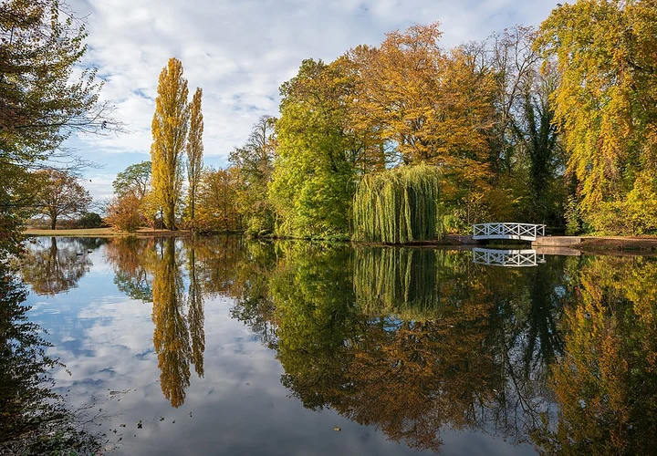
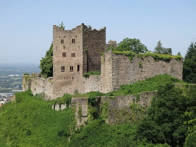
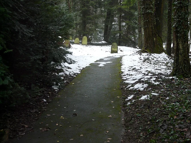
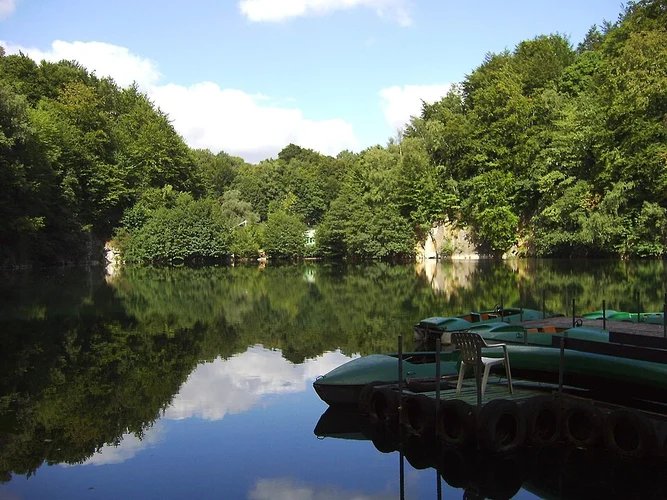
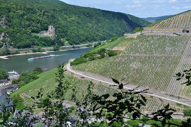
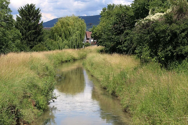
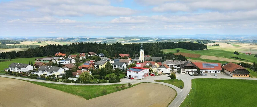
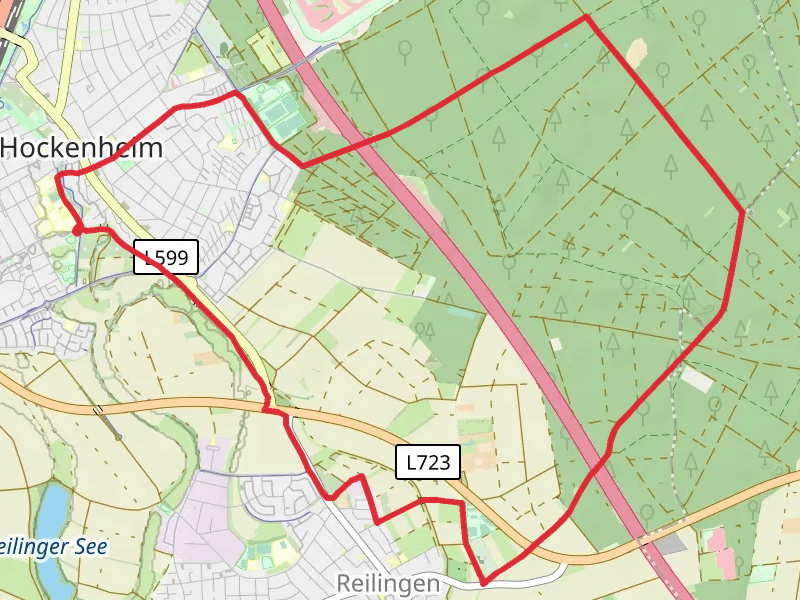
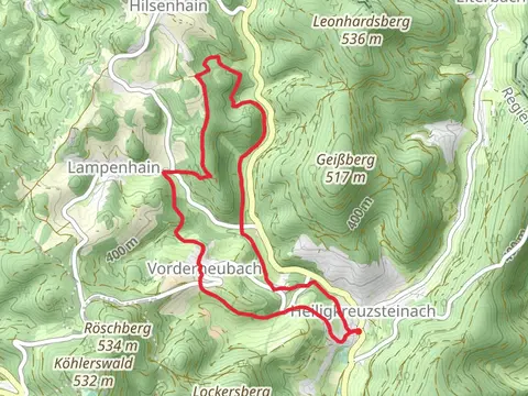
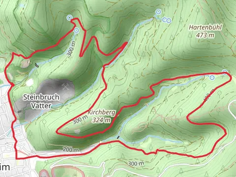
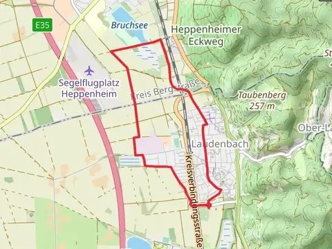
Check out some of the best hiking, walking and backpacking routes in Rhein-Neckar-Kreis, Germany. The Schlossgarten Schwetzingen and Brühl Loop via Riedweg is the most popular trail. The trails have 129 user reviews with great photos and information. There are trails of various difficulty levels including easy, medium, and difficult. The trail with the highest elevation climb is the Brandplattenweg, Jagdhaus Fußweg and Oberer Darmuthweg Loop and the trail with the least amount of climbing is the Bruchsee from Suedspange. The longest trail is the Weinheim and Oberflockenbach Loop at 19.4 km. For a shorter adventure you can try the Oberrheingraben and Tiere des Waldes via Burgensteig Bergstrasse at 2.0 km. Get off line access to gate, Restaurant, parking, and Shelter locations and much more with a Hiiker subscription.

Be prepared for hiking in Germany with the HiiKER app