Download
Preview
Add to list
More
5.0 km
~1 hrs 46 min
468 m
Loop
“The Oberer Ölbergweg Loop near Heidelberg offers stunning views, rich history, and a moderate 5 km hike.”
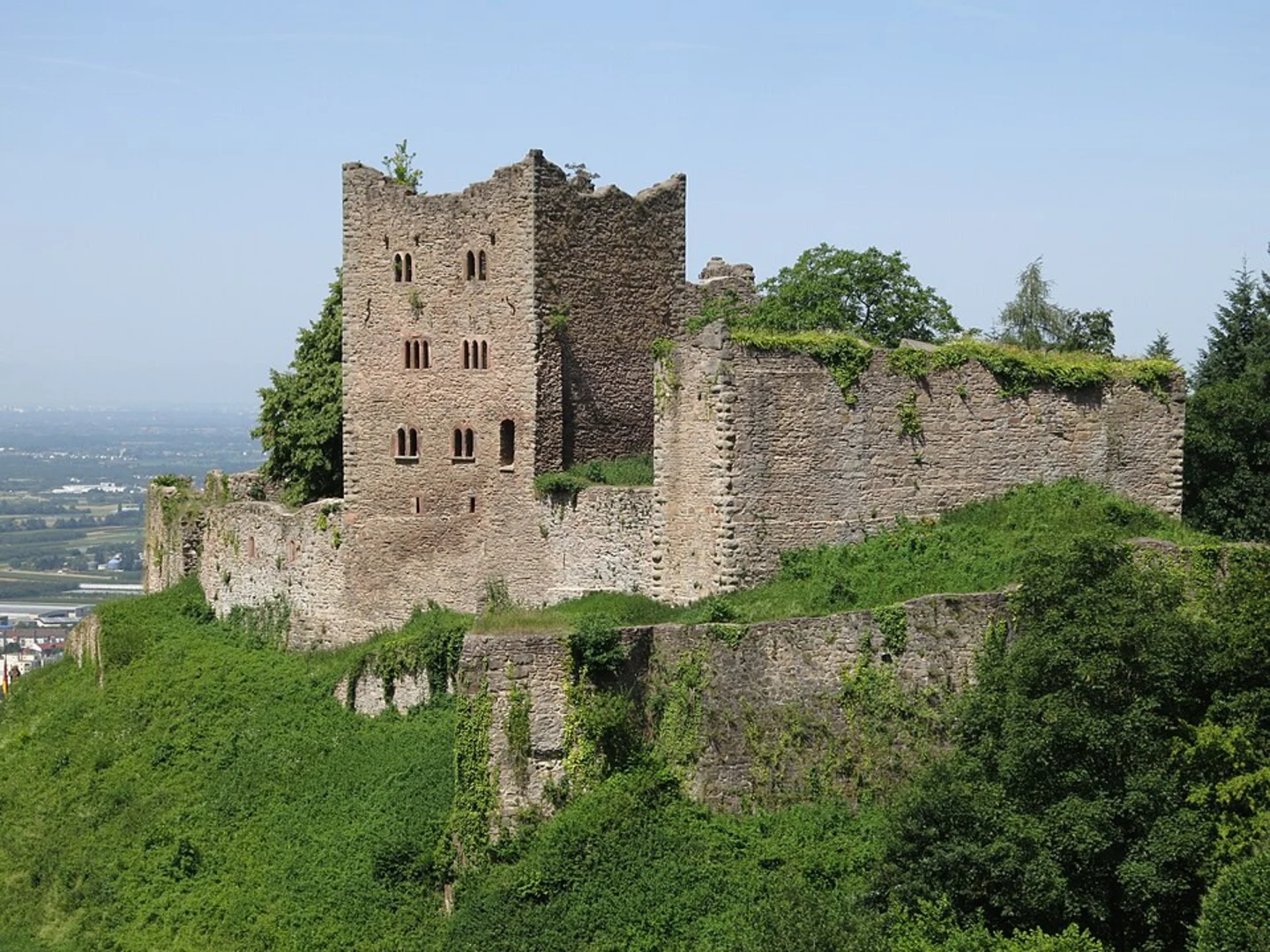
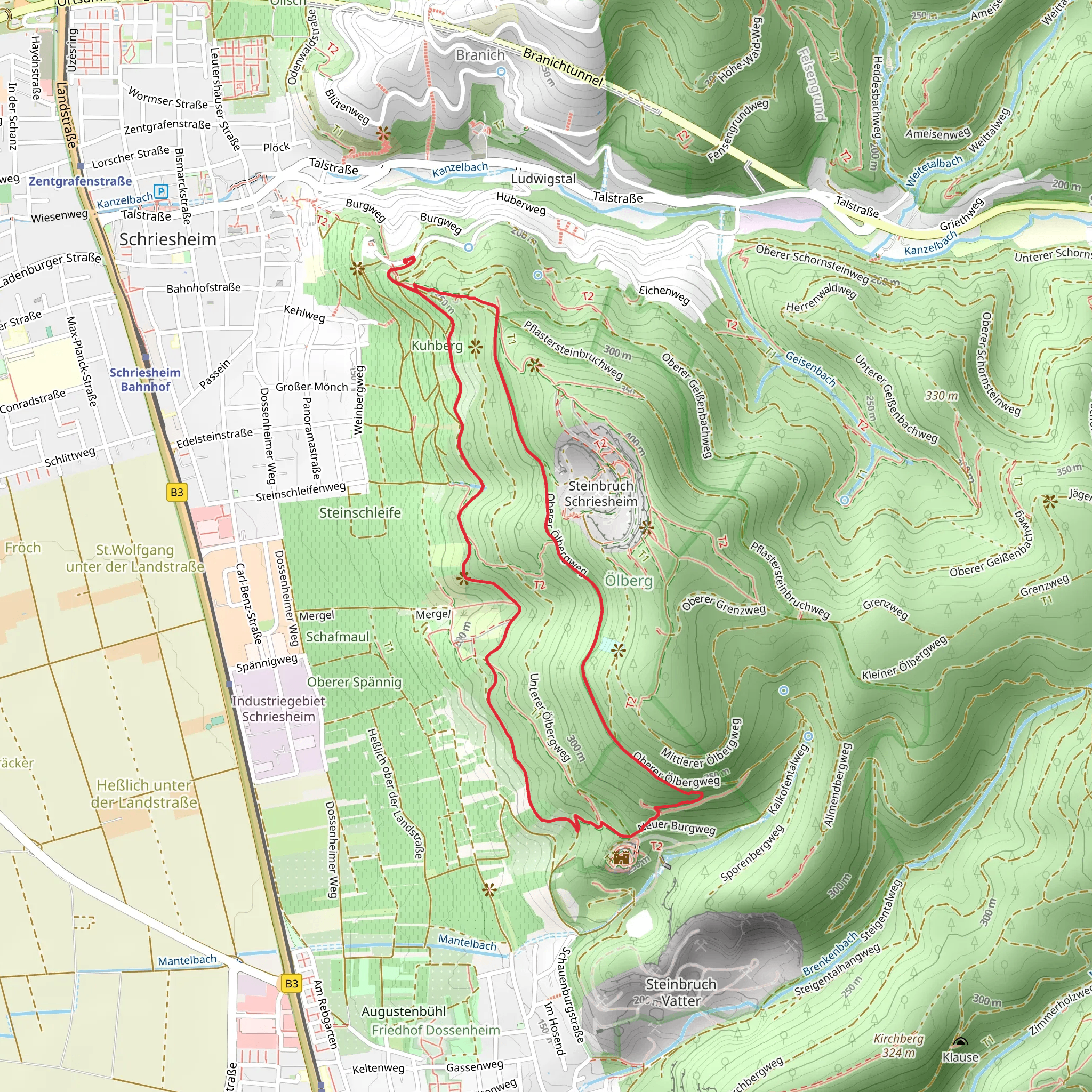
Starting your hike near Rhein-Neckar-Kreis, Germany, the Oberer Ölbergweg Loop offers a delightful 5 km (approximately 3.1 miles) journey with an elevation gain of around 400 meters (about 1,312 feet). This loop trail is rated as medium difficulty, making it suitable for moderately experienced hikers.
Getting There To reach the trailhead, you can drive or use public transport. If driving, set your GPS to the nearest known address: Königstuhl, 69117 Heidelberg, Germany. For public transport, take a train to Heidelberg Hauptbahnhof (Heidelberg Main Station) and then a bus to Königstuhl. From there, it's a short walk to the trailhead.
Trail Overview The trail begins with a gentle ascent through a dense forest, where you'll be surrounded by towering trees and the soothing sounds of nature. As you progress, the path becomes steeper, offering a good workout for your legs. The first significant landmark you'll encounter is the Königstuhl, a popular viewpoint that provides panoramic views of the Rhine Valley and the city of Heidelberg. This spot is roughly 1.5 km (0.9 miles) into the hike and involves an elevation gain of about 150 meters (492 feet).
Historical Significance The region around Rhein-Neckar-Kreis is steeped in history. Heidelberg itself is home to one of Germany's oldest universities, founded in 1386. The Königstuhl area has been a strategic vantage point for centuries, offering views that were crucial for both defense and communication.
Flora and Fauna As you continue along the trail, you'll notice a rich variety of flora and fauna. The forest is home to oak, beech, and pine trees, and if you're lucky, you might spot deer, foxes, and various bird species. The trail is particularly beautiful in the spring and autumn when the foliage is either lush green or a riot of colors.
Midpoint and Elevation Around the 3 km (1.9 miles) mark, you'll reach the highest point of the trail, with an elevation gain of approximately 300 meters (984 feet). Here, the trail levels out, offering a more relaxed walk through the forest. This section is a great place to take a break, enjoy a snack, and soak in the natural beauty.
Navigation and Safety For navigation, it's highly recommended to use HiiKER, which provides detailed maps and real-time updates. The trail is well-marked, but having a reliable navigation tool ensures you stay on track. Always carry enough water, wear sturdy hiking boots, and check the weather forecast before you set out.
Final Stretch The descent begins around the 4 km (2.5 miles) mark, leading you back towards the trailhead. This section is less steep but can be slippery, especially after rain, so watch your footing. As you near the end of the loop, you'll pass through a picturesque meadow, offering one last opportunity to enjoy the serene landscape before completing your hike.
This trail offers a perfect blend of natural beauty, historical significance, and moderate physical challenge, making it a rewarding experience for any hiker.
What to expect?
Activity types
Comments and Reviews
User comments, reviews and discussions about the Oberer Ölbergweg Loop, Germany.
4.75
average rating out of 5
4 rating(s)

