The best hikes in Ostallgäu
Germany · 80 HiiKER Hikes
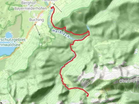
View Hikes on map
What to expect
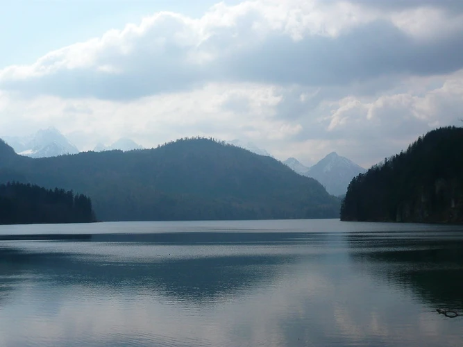
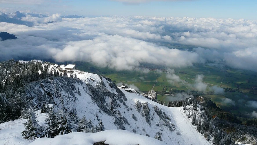
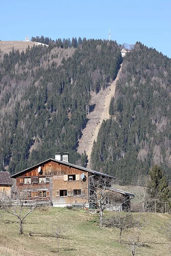
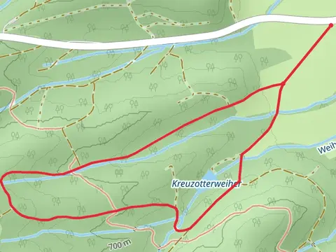
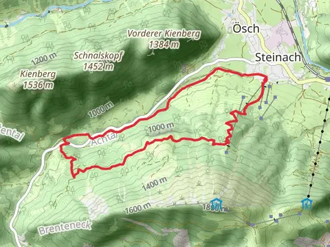
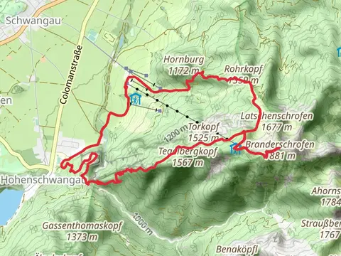
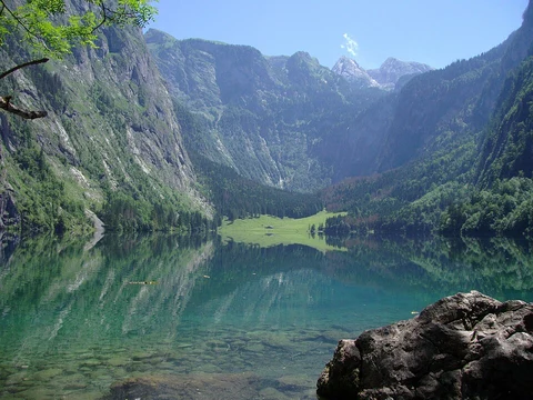
Check out some of the best hiking, walking and backpacking routes in Ostallgäu, Germany. The Himmelsstürmer-Route is the most popular trail. The trails have 235 user reviews with great photos and information. There are trails of various difficulty levels including easy, medium, difficult, and extra difficult. The trail with the highest elevation climb is the Himmelsstürmer-Route and the trail with the least amount of climbing is the Pforzen Loop via Schlingener See. The longest trail is the Wiesengänger-Route at 398.3 km. For a shorter adventure you can try the Queen Mary's Bridge and Pollatfall Walk via Rodelbahn at 1.5 km. Get off line access to History, Restaurant, Shelter, and Peak locations and much more with a Hiiker subscription.

Be prepared for hiking in Germany with the HiiKER app