Download
Preview
Add to list
More
13.7 km
~1 day 0 hrs
1420 m
Loop
“Embark on the Panoramablick Schwangau and Älpele Loop for stunning vistas, rich history, and moderate challenge.”
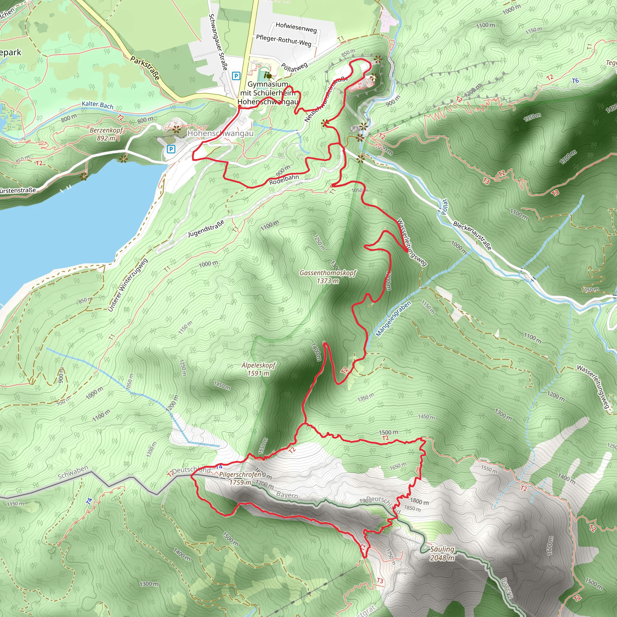
Starting near the picturesque town of Ostallgäu, Germany, the Panoramablick Schwangau and Älpele Loop is a captivating 14 km (8.7 miles) trail with an elevation gain of approximately 1400 meters (4593 feet). This loop trail offers a medium difficulty rating, making it suitable for hikers with a moderate level of fitness.
Getting There To reach the trailhead, you can either drive or use public transport. If you're driving, set your GPS to Schwangau, a charming village known for its proximity to the famous Neuschwanstein Castle. There are several parking options available in Schwangau. For those using public transport, take a train to Füssen, and from there, a short bus ride (Bus 78) will take you to Schwangau. The trailhead is conveniently located near the village, making it easily accessible.
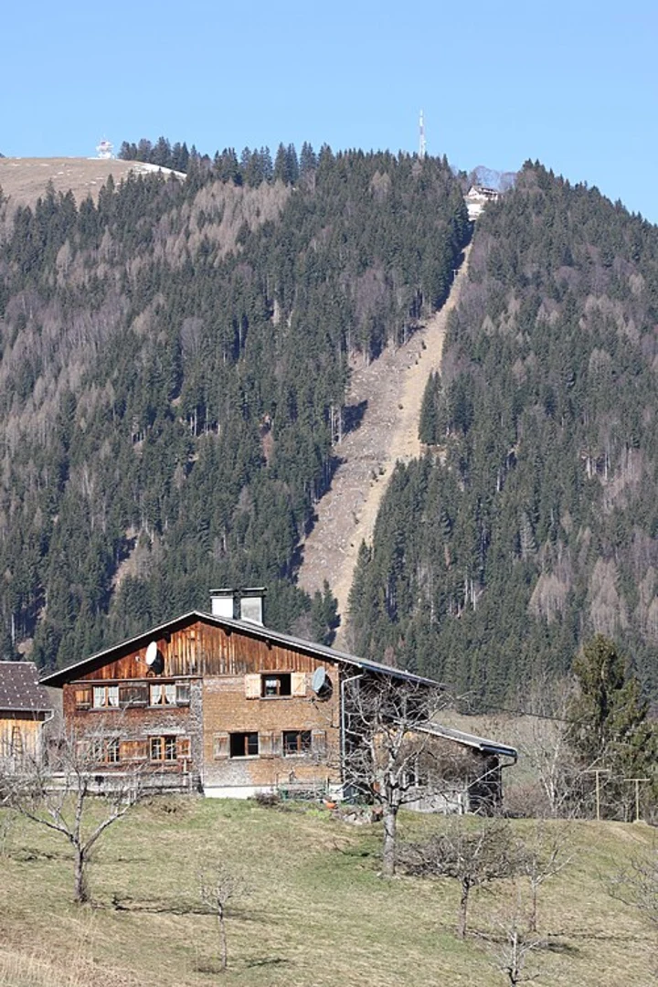
Trail Highlights #### Panoramic Views As you embark on this loop, you'll be greeted with stunning panoramic views of the Bavarian Alps. The trail offers several vantage points where you can pause and take in the breathtaking scenery. One of the most notable viewpoints is the Panoramablick Schwangau, which provides an expansive view of the surrounding mountains and valleys.
#### Flora and Fauna The trail meanders through lush forests and alpine meadows, offering a rich tapestry of flora and fauna. Depending on the season, you might encounter a variety of wildflowers, including edelweiss and alpine roses. Wildlife enthusiasts should keep an eye out for deer, marmots, and a variety of bird species that inhabit the area.
#### Historical Significance The region around Schwangau is steeped in history. As you hike, you'll be walking in the footsteps of Bavarian kings and nobles. The nearby Neuschwanstein Castle, built by King Ludwig II, is a testament to the area's royal heritage. Although the castle is not directly on the trail, its presence adds a layer of historical intrigue to your hike.
Trail Navigation The trail is well-marked, but it's always a good idea to have a reliable navigation tool. HiiKER is an excellent app for this purpose, providing detailed maps and real-time tracking to ensure you stay on course.
#### Elevation and Terrain The trail's elevation gain of 1400 meters (4593 feet) means you'll be tackling some steep ascents and descents. The terrain varies from well-maintained paths to rocky sections, so sturdy hiking boots are recommended. Trekking poles can also be beneficial, especially during the steeper parts of the hike.
Points of Interest #### Älpele Around the halfway point of the loop, you'll come across Älpele, a quaint alpine hut where you can take a well-deserved break. This is an excellent spot to enjoy a packed lunch while soaking in the serene mountain atmosphere.
#### Water Sources There are a few natural springs along the trail where you can refill your water bottles. However, it's advisable to carry enough water to last the entire hike, especially during the warmer months.
Weather Considerations Weather in the Bavarian Alps can be unpredictable. It's essential to check the forecast before setting out and to be prepared for sudden changes. Layered clothing is recommended to adapt to varying temperatures and conditions.
Final Stretch As you near the end of the loop, the trail descends back towards Schwangau, offering a gentle cooldown after the more strenuous sections. The final stretch provides a peaceful walk through forested areas, gradually leading you back to the trailhead.
This trail offers a perfect blend of natural beauty, historical significance, and physical challenge, making it a must-do for any hiking enthusiast visiting the Bavarian Alps.
What to expect?
Activity types
Comments and Reviews
User comments, reviews and discussions about the Panoramablick Schwangau and Älpele Loop, Germany.
4.5
average rating out of 5
8 rating(s)

