12.1 km
~2 hrs 44 min
183 m
“Explore the scenic Neckar-Odenwald-Kreis loop, blending natural beauty, historical ruins, and diverse wildlife.”
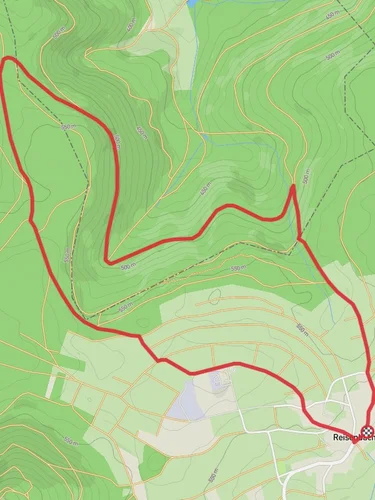
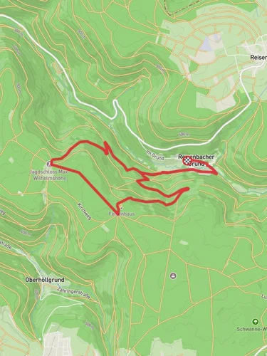
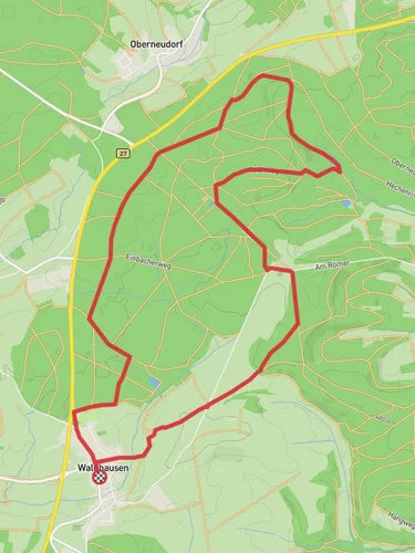
Starting near the picturesque region of Neckar-Odenwald-Kreis in Germany, this 12 km (7.5 miles) loop trail offers a delightful mix of natural beauty and historical intrigue. With an elevation gain of around 100 meters (328 feet), the trail is rated as medium difficulty, making it accessible for most hikers with a moderate level of fitness.
### Getting There To reach the trailhead, you can either drive or use public transport. If driving, set your GPS to Neckar-Odenwald-Kreis, and look for parking options near the trailhead. For those using public transport, the nearest significant landmark is the Mosbach-Neckarelz train station. From there, you can take a local bus or taxi to the trailhead.
### Trail Overview The trail begins with a gentle ascent through lush forests, offering a serene start to your hike. As you progress, you'll encounter a mix of deciduous and coniferous trees, providing ample shade and a cool environment, especially during the warmer months.
### Significant Landmarks Around the 3 km (1.9 miles) mark, you'll come across the ruins of an old castle, a testament to the region's rich history. This spot offers a great opportunity for a short break and some exploration. The castle ruins are a reminder of the medieval times when this area was a strategic point of defense.
### Nature and Wildlife The trail is home to a variety of wildlife, including deer, foxes, and numerous bird species. Keep an eye out for the European robin and the great spotted woodpecker, both of which are commonly seen along the trail. The flora is equally diverse, with wildflowers blooming in the spring and summer, adding a splash of color to the landscape.
### Navigation For navigation, it's highly recommended to use the HiiKER app, which provides detailed maps and real-time updates. The trail is well-marked, but having a reliable navigation tool can enhance your hiking experience and ensure you stay on the right path.
### Elevation and Terrain The trail features a mix of terrains, from forest paths to open meadows. The elevation gain is gradual, making it manageable for most hikers. The highest point of the trail is around 100 meters (328 feet) above the starting elevation, offering panoramic views of the surrounding countryside.
### Historical Significance The Neckar-Odenwald-Kreis region has a rich history dating back to Roman times. The trail itself passes through areas that were once part of ancient trade routes. The castle ruins you encounter are from the medieval period, providing a glimpse into the past and the strategic importance of this region.
### Final Stretch As you near the end of the loop, the trail descends gently back towards the starting point. This section offers beautiful views of the Neckar River and the surrounding valleys, making it a perfect way to conclude your hike.
This trail offers a balanced mix of natural beauty, historical landmarks, and manageable terrain, making it a rewarding experience for any hiker.
Reviews
User comments, reviews and discussions about the Main Neckar Weg and Rumpfener Weg, Germany.
5.0
average rating out of 5
5 rating(s)


