Download
Preview
Add to list
More
11.6 km
~2 hrs 37 min
188 m
Loop
“Embark on the Waldhausen Loop for a 12 km blend of nature, history, and wildlife in Germany.”
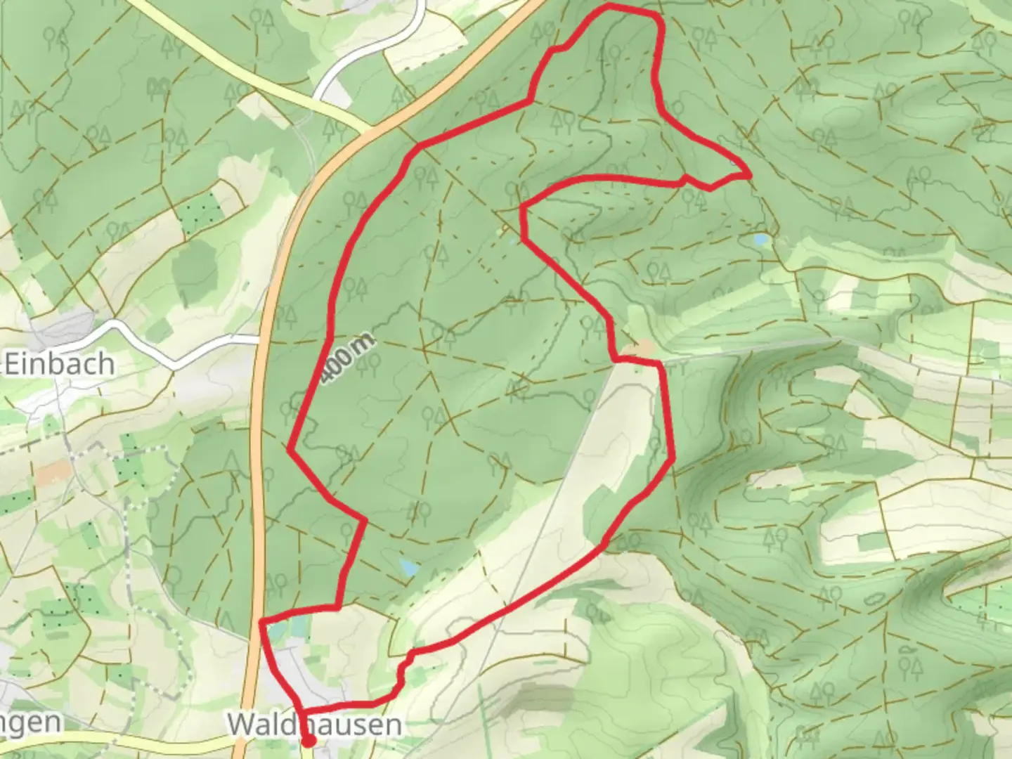
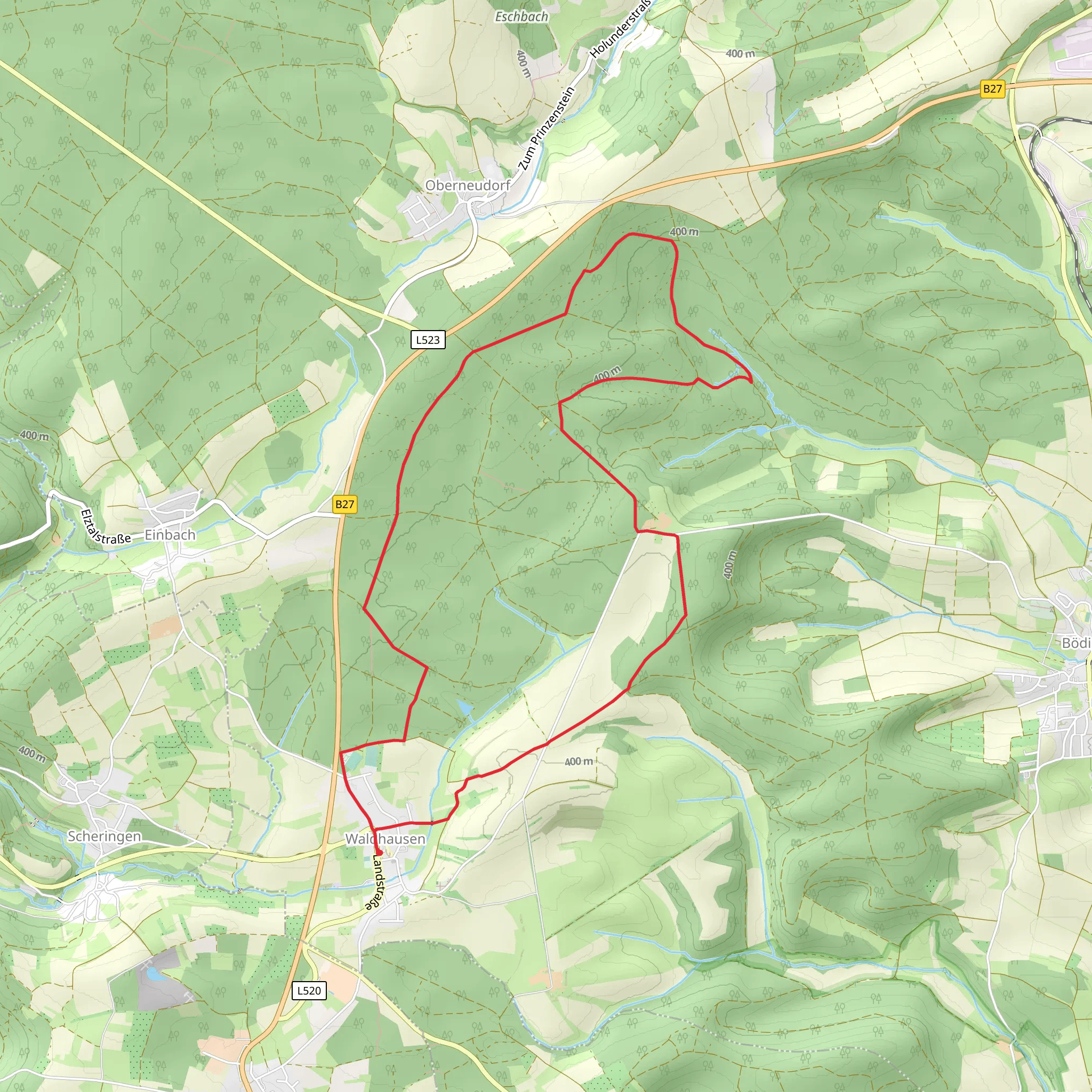
Starting near Neckar-Odenwald-Kreis in Germany, the Waldhausen Loop is a delightful 12 km (7.5 miles) loop trail with an elevation gain of approximately 100 meters (328 feet). This medium-difficulty trail offers a blend of natural beauty, historical landmarks, and diverse wildlife, making it a rewarding experience for hikers.
Getting There
To reach the trailhead, you can either drive or use public transport. If you're driving, set your GPS to Waldhausen, Neckar-Odenwald-Kreis, Germany. There is ample parking available near the starting point. For those using public transport, take a train to the nearest major station in Mosbach and then a local bus to Waldhausen. The bus stop is conveniently located near the trailhead.
Trail Overview
The trail begins in the charming village of Waldhausen, where you can find a few local shops and cafes to stock up on supplies or grab a quick bite before you start. As you set off, you'll be greeted by a well-marked path that meanders through lush forests and open meadows.
Key Landmarks and Points of Interest
#### Historical Significance
About 3 km (1.9 miles) into the hike, you'll come across the ruins of an old castle, Burg Hornberg. This medieval structure dates back to the 11th century and offers a glimpse into the region's rich history. Take a moment to explore the ruins and imagine the lives of those who once inhabited this fortress.
#### Natural Beauty
Continuing along the trail, you'll traverse a variety of landscapes, from dense woodlands to rolling hills. Around the 6 km (3.7 miles) mark, you'll reach a scenic viewpoint that offers panoramic views of the Odenwald forest and the Neckar River. This is an excellent spot for a rest and some photos.
#### Wildlife
The Waldhausen Loop is home to a diverse range of wildlife. Keep an eye out for deer, foxes, and a variety of bird species. The forested sections of the trail are particularly good for birdwatching, so bringing a pair of binoculars could enhance your experience.
Navigation and Safety
The trail is well-marked with signs and blazes, but it's always a good idea to have a reliable navigation tool. The HiiKER app is highly recommended for this trail, offering detailed maps and real-time GPS tracking to ensure you stay on course.
Final Stretch
As you near the end of the loop, the trail will lead you back into Waldhausen. The final 2 km (1.2 miles) are relatively flat and easy, allowing you to cool down and reflect on the day's adventure. Once back in the village, consider visiting a local tavern to enjoy some traditional German cuisine and perhaps a well-deserved beer.
The Waldhausen Loop offers a perfect blend of natural beauty, historical intrigue, and moderate physical challenge, making it an ideal choice for hikers looking to explore the Neckar-Odenwald-Kreis region.
Comments and Reviews
User comments, reviews and discussions about the Waldhausen Loop, Germany.
5.0
average rating out of 5
1 rating(s)
