Download
Preview
Add to list
More
6.9 km
~1 hrs 43 min
206 m
Loop
“The Rundwanderweg Reisenbach offers a scenic 7-km loop with waterfalls, historical ruins, and panoramic views.”
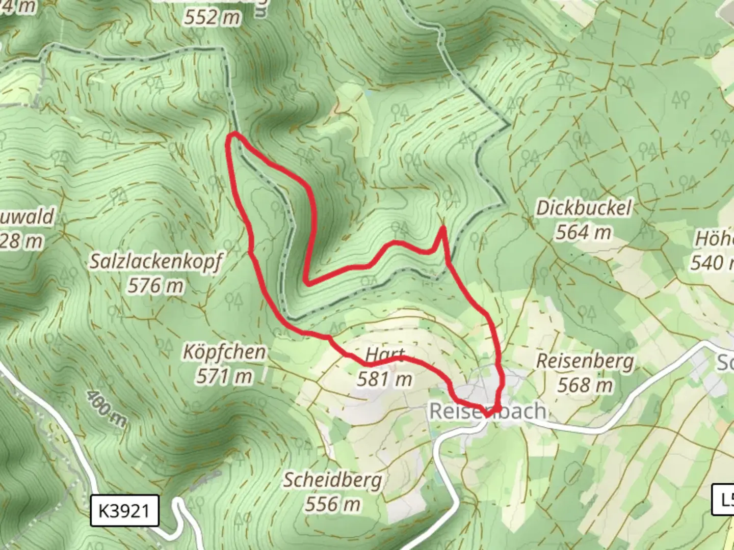
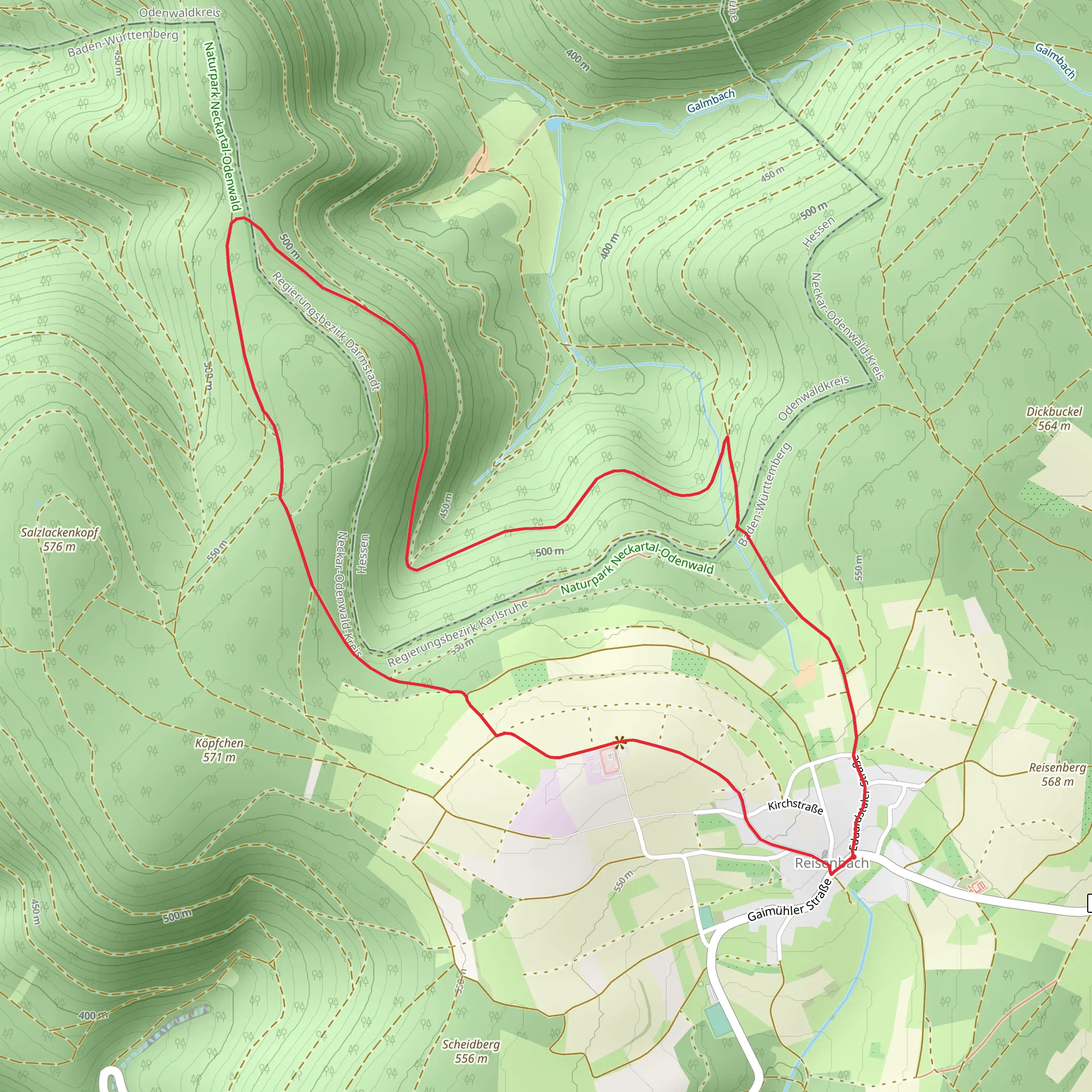
Starting near Neckar-Odenwald-Kreis in Germany, the Rundwanderweg Reisenbach is a delightful loop trail that spans approximately 7 kilometers (4.35 miles) with an elevation gain of around 200 meters (656 feet). This medium-difficulty trail offers a mix of natural beauty, historical landmarks, and opportunities for wildlife spotting.
Getting There To reach the trailhead, you can drive or use public transport. If driving, set your GPS to Reisenbach, a small village in the Neckar-Odenwald-Kreis region. For those using public transport, take a train to Mosbach, the nearest major town, and then a local bus to Reisenbach. The bus stop is conveniently located near the trailhead.
Trail Overview The trail begins in the charming village of Reisenbach, known for its picturesque landscapes and traditional German architecture. As you start your hike, you'll be greeted by a well-marked path that meanders through dense forests and open meadows.
Key Landmarks and Points of Interest - **Reisenbach Waterfall**: About 2 kilometers (1.24 miles) into the hike, you'll come across the Reisenbach Waterfall. This serene spot is perfect for a short break and some photography. - **Historical Ruins**: At approximately the 4-kilometer (2.48 miles) mark, you'll encounter the ruins of an old mill. This site offers a glimpse into the region's historical past and is a great spot for history enthusiasts. - **Panoramic Viewpoint**: Roughly 5 kilometers (3.1 miles) into the trail, there's a panoramic viewpoint that offers stunning views of the Odenwald forest and surrounding valleys. This is an ideal place to pause and take in the natural beauty.
Flora and Fauna The Rundwanderweg Reisenbach is rich in biodiversity. The trail passes through mixed forests dominated by beech, oak, and pine trees. In the spring and summer months, the meadows are adorned with wildflowers, making it a colorful journey. Wildlife enthusiasts might spot deer, foxes, and a variety of bird species, including woodpeckers and owls.
Navigation and Safety The trail is well-marked with signs and markers, but it's always a good idea to have a reliable navigation tool. The HiiKER app is highly recommended for this purpose, offering detailed maps and real-time tracking to ensure you stay on course.
Elevation and Terrain The trail features a moderate elevation gain of around 200 meters (656 feet), with some steep sections that require careful footing. The terrain varies from forest paths to rocky sections and open fields, so sturdy hiking boots are advisable.
Historical Significance The Neckar-Odenwald-Kreis region has a rich history dating back to Roman times. The old mill ruins along the trail are a testament to the area's long-standing agricultural heritage. Additionally, the forests you hike through were once part of royal hunting grounds, adding a layer of historical intrigue to your journey.
Practical Information - **Best Time to Hike**: Spring and autumn are ideal for hiking this trail, offering mild weather and vibrant natural scenery. - **Facilities**: There are no restrooms or water sources along the trail, so be sure to carry enough water and snacks. - **Local Amenities**: The village of Reisenbach has a few local eateries and shops where you can grab a meal or purchase supplies before or after your hike.
This trail offers a balanced mix of natural beauty, historical landmarks, and moderate physical challenge, making it a rewarding experience for hikers of all levels.
What to expect?
Activity types
Comments and Reviews
User comments, reviews and discussions about the Rundwanderweg Reisenbach, Germany.
average rating out of 5
0 rating(s)
