The best hikes in Main-Tauber-Kreis
Germany · 52 HiiKER Hikes
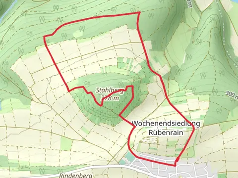
View Hikes on map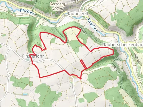


What to expect
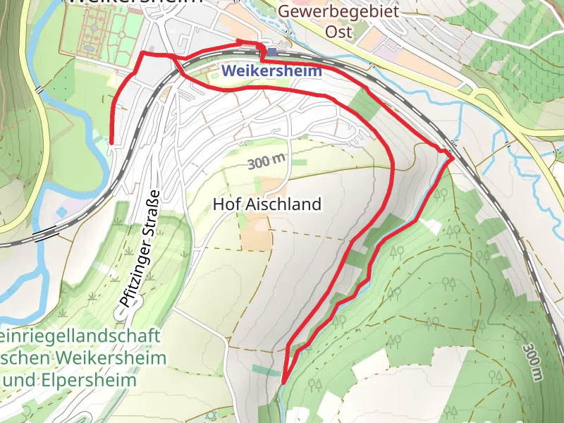
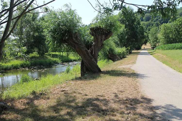
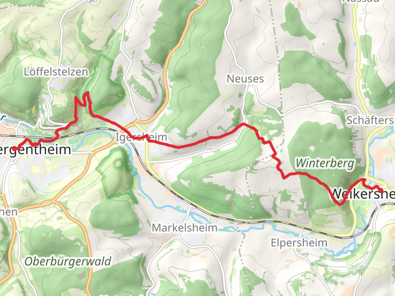
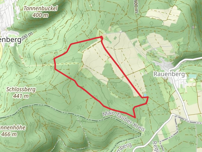
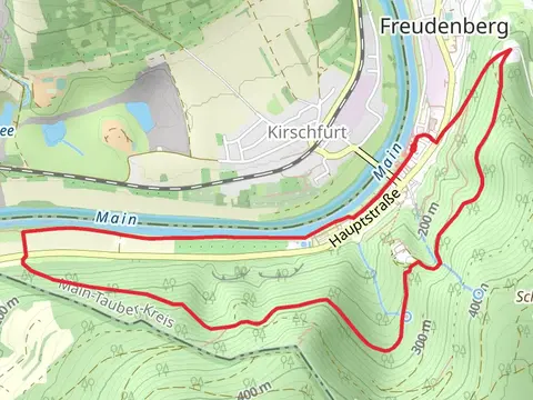
Check out some of the best hiking, walking and backpacking routes in Main-Tauber-Kreis, Germany. The Tauber, Friedhof and Stadpark Weikersheim via Planetenweg Weikersheim is the most popular trail. The trails have 66 user reviews with great photos and information. There are trails of various difficulty levels including easy and medium. The trail with the highest elevation climb is the Freudenberger Weg and the trail with the least amount of climbing is the Main via Heunweg and Mainweg Teil 7. The longest trail is the Markelsheim and Sailberg Loop at 19.0 km. For a shorter adventure you can try the Bad Mergentheim Wildlife Park Loop at 3.2 km. Get off line access to Shelter, Restaurant, gate, and parking locations and much more with a Hiiker subscription.

Be prepared for hiking in Germany with the HiiKER app