Download
Preview
Add to list
More
9.6 km
~2 hrs 22 min
267 m
Loop
“Embark on the Altenberg Loop for a scenic 10 km hike with diverse landscapes and rich history.”
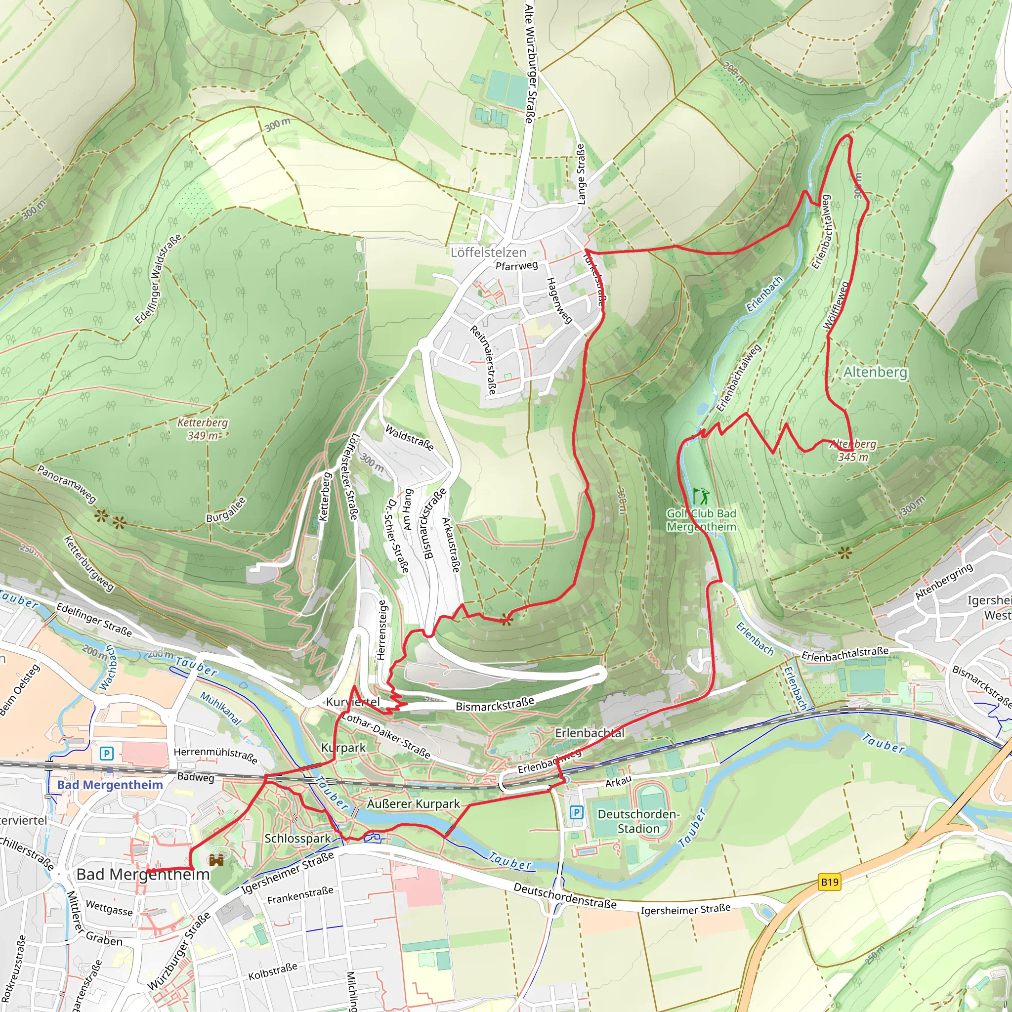
Starting your hike near Main-Tauber-Kreis, Germany, the Altenberg Loop via Wölffleweg offers a delightful 10 km (6.2 miles) journey with an elevation gain of around 200 meters (656 feet). This loop trail is rated as medium difficulty, making it suitable for moderately experienced hikers.
Getting There To reach the trailhead, you can drive or use public transport. If driving, set your GPS to the vicinity of Main-Tauber-Kreis, specifically near the town of Wertheim, which is a well-known landmark in the area. For those using public transport, take a train to Wertheim station. From there, local buses or a short taxi ride can get you to the trailhead.
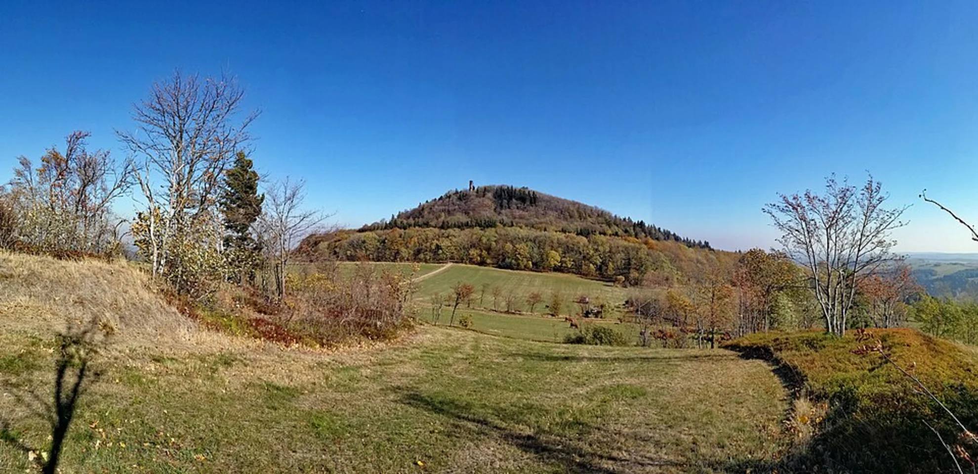
Trail Overview The trail begins with a gentle ascent through lush forests, providing a serene start to your hike. As you progress, the path becomes more varied, with sections of open meadows and dense woodland. The first significant landmark you'll encounter is the Wölffleweg, a scenic route that offers panoramic views of the surrounding countryside.
Key Landmarks and Points of Interest - **Wölffleweg Scenic Viewpoint**: Approximately 3 km (1.9 miles) into the hike, you'll reach this viewpoint. It's an excellent spot for a break and some photography, offering sweeping views of the Tauber Valley. - **Altenberg Hill**: Around the 5 km (3.1 miles) mark, you'll begin your ascent of Altenberg Hill. The climb is steady but manageable, and the summit provides a rewarding vista of the rolling hills and vineyards below. - **Historical Significance**: The region is steeped in history, with the trail passing near several ancient ruins and historical markers. Keep an eye out for informational plaques that provide insights into the area's past, including its significance during medieval times.
Flora and Fauna The trail is rich in biodiversity. In the spring and summer months, you'll find a variety of wildflowers, including orchids and lilies. The forested sections are home to deer, foxes, and a variety of bird species. If you're lucky, you might even spot a rare black woodpecker.
Navigation and Safety Given the trail's moderate difficulty, it's advisable to use a reliable navigation tool like HiiKER to stay on track. The trail is well-marked, but having a digital map can provide additional peace of mind. Wear sturdy hiking boots, as some sections can be rocky and uneven.
Final Stretch The last 2 km (1.2 miles) of the trail take you through a picturesque vineyard, gradually descending back towards the trailhead. This section is particularly beautiful in the late afternoon when the sun casts a golden hue over the landscape.
Practical Tips - **Water and Snacks**: There are no facilities along the trail, so bring enough water and snacks to keep you energized. - **Weather**: Check the weather forecast before you go. The trail can be slippery after rain, and fog can reduce visibility at higher elevations. - **Local Culture**: If you have time, explore the nearby town of Wertheim. It's known for its charming medieval architecture and the Wertheim Castle, which offers additional hiking opportunities and historical exploration.
This hike offers a perfect blend of natural beauty, moderate challenge, and historical intrigue, making it a rewarding experience for any outdoor enthusiast.
What to expect?
Activity types
Comments and Reviews
User comments, reviews and discussions about the Altenberg Loop via Wölffleweg, Germany.
4.0
average rating out of 5
3 rating(s)

