Download
Preview
Add to list
More
12.2 km
~2 hrs 58 min
319 m
Loop
“Explore the scenic Liebliches Taubertal 24 Vorbach trail, blending natural beauty, historic ruins, and charming vineyards.”
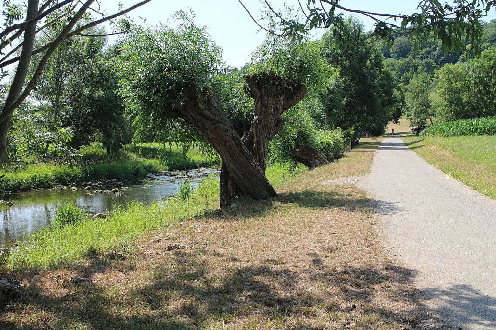
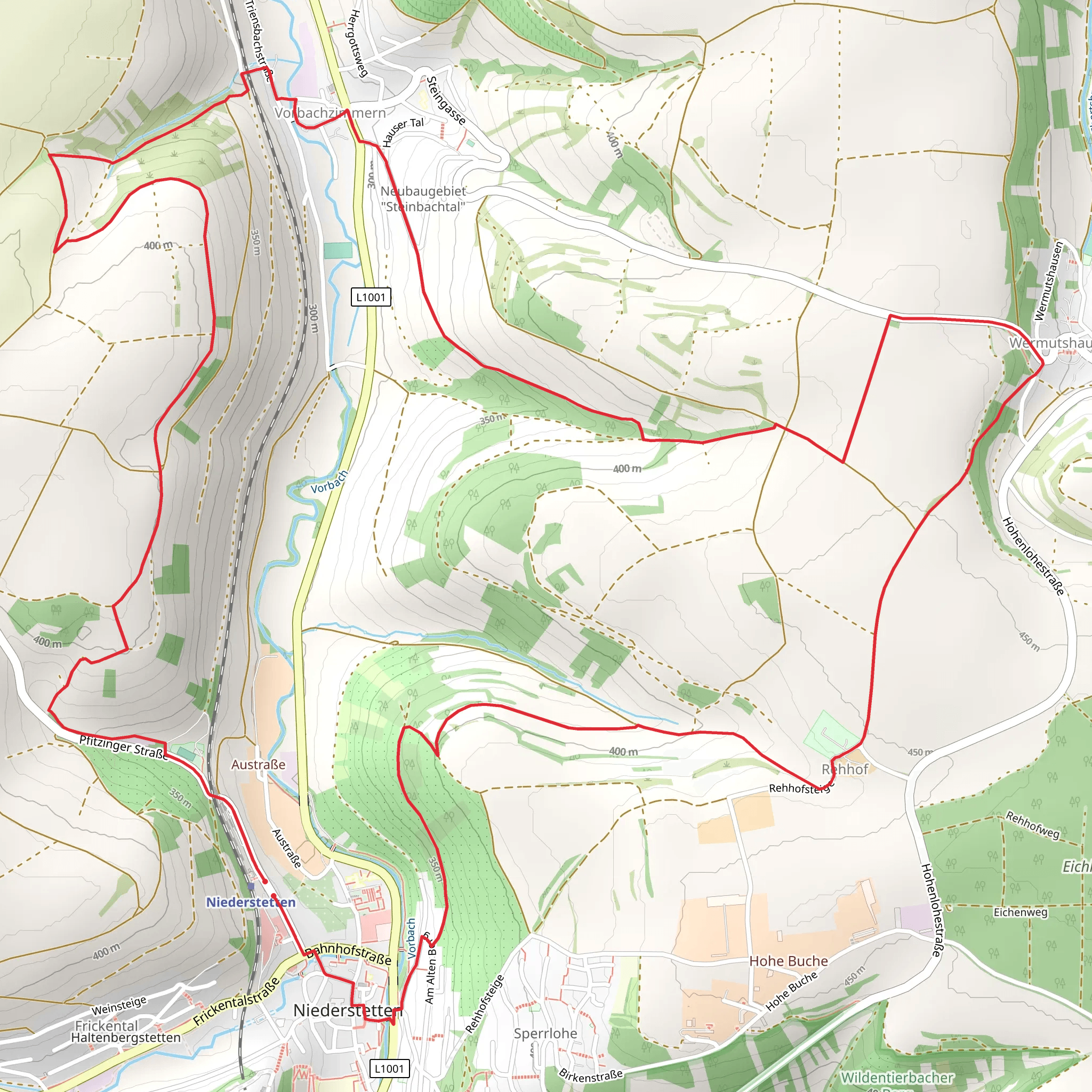
Starting near Main-Tauber-Kreis, Germany, the Liebliches Taubertal 24 Vorbach trail is a picturesque 12 km (7.5 miles) loop with an elevation gain of approximately 300 meters (984 feet). This medium-difficulty trail offers a delightful mix of natural beauty, historical landmarks, and charming rural scenery.
Getting There To reach the trailhead, you can either drive or use public transport. If driving, set your GPS to Main-Tauber-Kreis, and look for parking options near the trailhead. For those using public transport, the nearest significant landmark is the Tauberbischofsheim train station. From there, local buses or a short taxi ride can get you to the starting point.
Trail Overview The trail begins with a gentle ascent through lush forests, offering a serene start to your hike. As you progress, you'll encounter a mix of deciduous and coniferous trees, providing ample shade and a cool environment, especially during the warmer months.
Significant Landmarks Around the 3 km (1.9 miles) mark, you'll come across the historic Vorbach Monastery ruins. This site offers a glimpse into the region's medieval past and is an excellent spot for a short break and some photography. The ruins are well-preserved, and informational plaques provide context about the monastery's history and significance.
Nature and Wildlife Continuing along the trail, you'll traverse open meadows and rolling hills. These areas are rich in wildflowers during the spring and summer months, attracting a variety of butterflies and bees. Birdwatchers will also find this section rewarding, with species like the European goldfinch and the common buzzard frequently spotted.
Midpoint and Elevation Gain At approximately 6 km (3.7 miles), you'll reach the highest point of the trail, offering panoramic views of the Tauber Valley. This is a great spot to pause and take in the scenery. The elevation gain here is around 150 meters (492 feet) from the trailhead, making it the most challenging part of the hike.
Descending and Completing the Loop The descent begins gradually, leading you through more forested areas and past small streams. These streams are often teeming with local amphibians, such as the European common frog and the fire salamander. Keep an eye out for these creatures, especially after rainfall.
Final Stretch As you near the end of the loop, the trail takes you through a series of vineyards. This region is known for its wine production, and you might even catch a glimpse of local vintners at work. The vineyards provide a picturesque backdrop and a gentle end to your hike.
Navigation and Safety For navigation, it's highly recommended to use the HiiKER app, which provides detailed maps and real-time updates. The trail is well-marked, but having a reliable navigation tool ensures you stay on track. Always carry enough water, especially during the summer months, and wear appropriate footwear for uneven terrain.
This trail offers a balanced mix of natural beauty, historical intrigue, and moderate physical challenge, making it a rewarding experience for hikers of all levels.
Comments and Reviews
User comments, reviews and discussions about the Liebliches Taubertal 24 Vorbach, Germany.
5.0
average rating out of 5
1 rating(s)

