The best hikes in Bad Tölz-Wolfratshausen
Germany · 99 HiiKER Hikes
View Hikes on map


What to expect
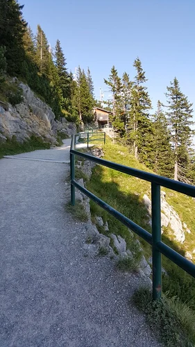
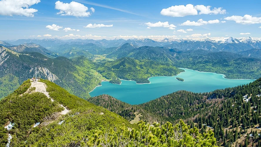
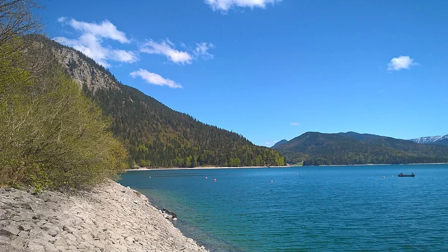
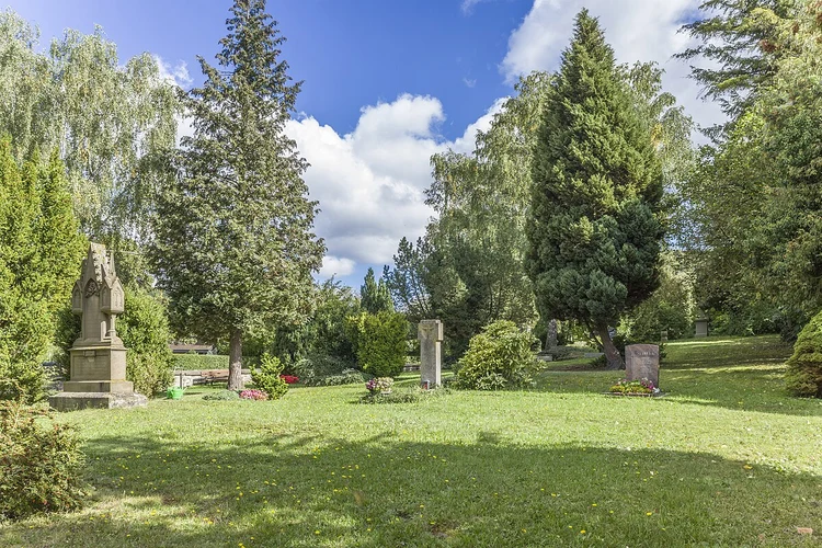
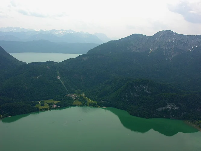
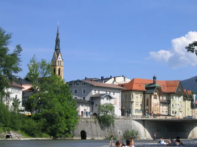
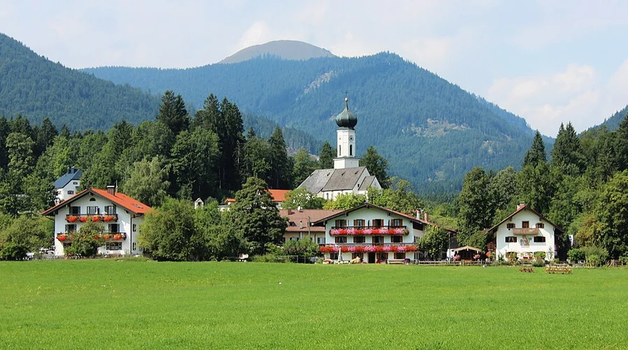
Check out some of the best hiking, walking and backpacking routes in Bad Tölz-Wolfratshausen, Germany. The Königshaus am Herzogstand Walk via Kesselberg is the most popular trail. The trails have 257 user reviews with great photos and information. There are trails of various difficulty levels including easy, medium, difficult, and extra difficult. The trail with the highest elevation climb is the Tolzer Hutte Loop via Schafreuter and the trail with the least amount of climbing is the Geretsrieder and Wolfratshauser Loop. The longest trail is the Benediktenwand Walk via Jachenau at 38.2 km. For a shorter adventure you can try the Brauneck Loop Via Alpina Purple at 2.5 km. Get off line access to information, parking, Restaurant, and Peak locations and much more with a Hiiker subscription.

Be prepared for hiking in Germany with the HiiKER app