Download
Preview
Add to list
More
11.2 km
~4 hrs 15 min
1213 m
Out and Back
“Embark on the historic and scenic Herzogstand Trail 444 for an alpine adventure steeped in natural splendor and legacy.”
Embarking on the Herzogstand Peak via Wanderweg 444 trail, hikers will find themselves on a journey that spans approximately 11 kilometers (about 6.8 miles) round trip, with an elevation gain of roughly 1200 meters (close to 3940 feet). This trail, nestled near Bad Tölz-Wolfratshausen in Germany, offers a medium difficulty rating and promises a blend of natural beauty and historical intrigue.
Getting to the Trailhead
To reach the starting point of the hike, travelers can either drive or use public transportation. If driving, the trailhead is accessible from the nearby town of Walchensee. There is a parking area where hikers can leave their cars before starting the ascent. For those opting for public transport, buses frequently run from Munich to Walchensee, and from there, the trailhead is a short walk away.
The Ascent
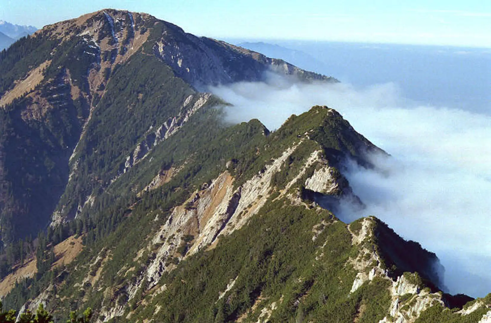
The hike begins with a steady climb through dense forests, offering a canopy of greenery and the occasional glimpse of local wildlife, such as deer and various bird species. The path is well-marked with signs for Wanderweg 444, ensuring that hikers can follow the route without the need for constant navigation. However, having the HiiKER app can provide additional peace of mind and detailed maps.
As you ascend, the forest gradually opens up to reveal stunning views of the Walchensee below, one of the deepest and largest alpine lakes in Germany. The lake's striking turquoise waters are a sight to behold against the backdrop of the surrounding mountains.
Historical Significance
The region is steeped in history, with the Herzogstand Mountain itself named after the Bavarian dukes (Herzogs) who once hunted in these mountains. The trail also passes by remnants of old hunting paths used by nobility, adding a sense of timelessness to the hike.
The Summit
Upon reaching the peak of Herzogstand, hikers are rewarded with panoramic views that stretch across the Bavarian Alps. On a clear day, it's possible to see as far as Munich. The summit also features the Herzogstandhaus, a mountain hut where hikers can rest and enjoy refreshments.
Descent and Considerations
The descent follows the same path back down to the trailhead. It's important to wear proper hiking boots as the terrain can be rocky and, in places, steep. The weather in the mountains can change rapidly, so hikers should be prepared with appropriate clothing and check the forecast before setting out.
Flora and Fauna
Throughout the hike, the diverse flora ranges from alpine flowers to hardy shrubs, particularly vibrant in the spring and summer months. The area is also home to marmots and eagles, so keep an eye out for these creatures as you make your way along the trail.
Conclusion
Overall, the Herzogstand Peak via Wanderweg 444 trail offers a rich hiking experience combining natural beauty, wildlife encounters, and a touch of history. Whether you're a seasoned hiker or someone looking to explore the Bavarian Alps, this trail provides an unforgettable adventure.

What to expect?
Activity types
Comments and Reviews
User comments, reviews and discussions about the Herzogstand Peak via Wanderweg 444 - Walchensee, Germany.
4.5
average rating out of 5
6 rating(s)