Download
Preview
Add to list
More
12.3 km
~4 hrs 23 min
1163 m
Loop
“Embark on a challenging yet rewarding 12 km loop near Bad Tölz-Wolfratshausen, featuring stunning alpine views and historical landmarks.”
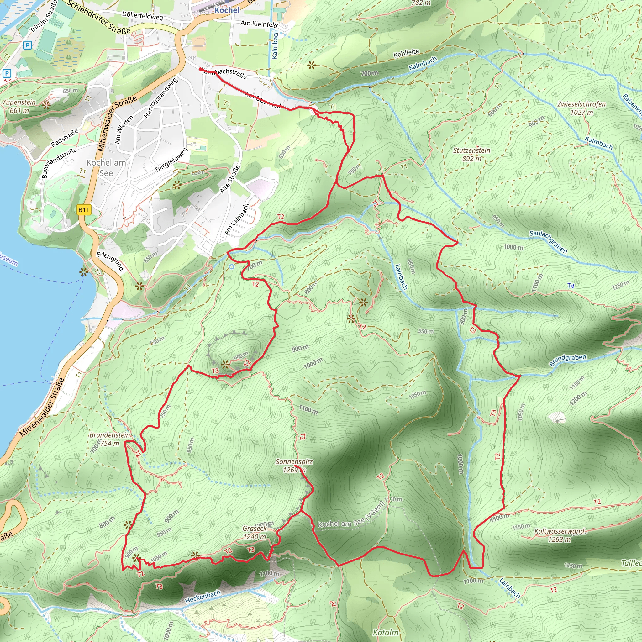
Starting your adventure near Bad Tölz-Wolfratshausen, Germany, the Kienstein, Gamsköpfl, Somenspitz Peak Loop offers a challenging yet rewarding experience. The trailhead is conveniently accessible by car or public transport. If you're driving, you can park near the Kochel train station, which is a well-known landmark in the area. For those using public transport, take a train to Kochel am See station and then a short bus ride to the trailhead.
Initial Ascent and Kienstein
The loop begins with a steady ascent, gaining approximately 1100 meters (3600 feet) in elevation over the course of the hike. The first significant landmark you'll encounter is Kienstein. This section is about 4 km (2.5 miles) into the hike and involves a steep climb through dense forest. The trail is well-marked, but it's advisable to use HiiKER for navigation to ensure you stay on track. As you ascend, you'll be treated to views of the surrounding Bavarian Alps and lush greenery.
Gamsköpfl and Scenic Views
Continuing from Kienstein, the trail leads you to Gamsköpfl, another peak that offers panoramic views. This section is roughly 3 km (1.9 miles) from Kienstein and involves some rocky terrain, so be prepared for a bit of scrambling. The elevation gain here is more gradual, allowing you to catch your breath and enjoy the scenery. Look out for alpine flowers and possibly some wildlife, such as chamois or marmots, which are common in this region.
Somenspitz Peak and Historical Significance
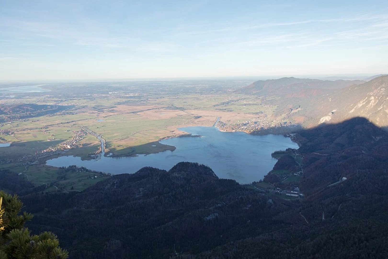
The final peak on this loop is Somenspitz, located about 2 km (1.2 miles) from Gamsköpfl. This area holds historical significance as it was a strategic lookout point during various periods of regional conflict. The summit offers a 360-degree view of the surrounding landscape, including Lake Kochel and the distant Zugspitze, Germany's highest peak. The trail here is less defined, so using HiiKER is crucial for navigation.
Descent and Return
The descent begins from Somenspitz and takes you through a series of switchbacks and forested paths. This section is approximately 3 km (1.9 miles) and can be quite steep, so trekking poles are recommended. As you make your way down, you'll pass through mixed forests and meadows, eventually looping back to the trailhead near Kochel train station.
Flora and Fauna
Throughout the hike, you'll encounter a variety of flora and fauna. The lower elevations are dominated by beech and spruce forests, while higher altitudes feature alpine meadows and rocky outcrops. Birdwatchers will enjoy spotting species like the golden eagle and peregrine falcon. The area is also rich in wildflowers, especially during the spring and summer months.
Practical Information
The entire loop is around 12 km (7.5 miles) and is rated as medium difficulty. It's essential to carry enough water and snacks, as there are no facilities along the trail. Weather can change rapidly in the mountains, so pack layers and be prepared for sudden shifts in temperature. Always check the weather forecast before setting out and let someone know your plans.
Using HiiKER for navigation will ensure you stay on the correct path and can fully enjoy the natural beauty and historical significance of this remarkable trail.
What to expect?
Activity types
Comments and Reviews
User comments, reviews and discussions about the Kienstein, Gamsköpfl, Somenspitz Peak Loop - Kochel, Germany.
4.43
average rating out of 5
7 rating(s)

