12.6 km
~3 hrs 4 min
324 m
“Explore diverse landscapes, historic ruins, and panoramic views on the moderately challenging Gipfel Weg trail near Amberg-Sulzbach.”
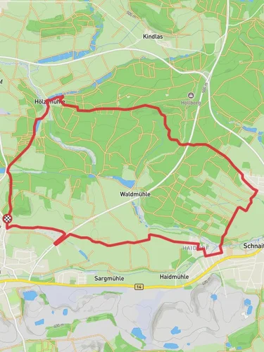
Starting near the picturesque town of Amberg-Sulzbach in Germany, this 13 km (approximately 8 miles) loop trail offers a moderately challenging hike with an elevation gain of around 300 meters (about 984 feet). The trailhead is easily accessible by car or public transport. If you're driving, you can park near the town center of Amberg-Sulzbach. For those using public transport, take a train to Amberg station and then a local bus to Sulzbach-Rosenberg, which is a short walk from the trailhead.
### Trail Overview
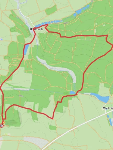
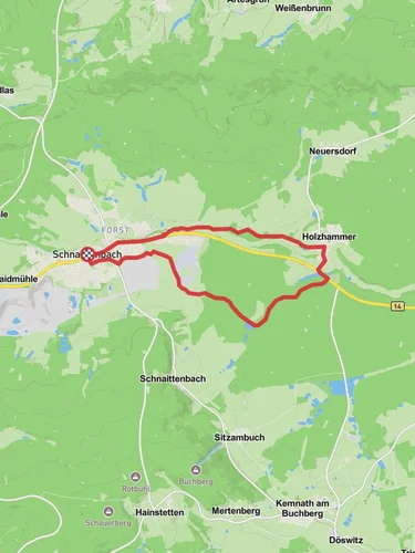
The Gipfel Weg trail meanders through a diverse landscape, featuring dense forests, open meadows, and rocky outcrops. The trail is well-marked, but it's advisable to use the HiiKER app for navigation to ensure you stay on track.
### Key Landmarks and Points of Interest
1. Amberg-Sulzbach Town Center (Start Point): The trail begins near the historic town center of Amberg-Sulzbach, known for its medieval architecture and charming streets. Take a moment to explore the town before you start your hike.
2. Forested Sections (0-3 km / 0-1.9 miles): The initial part of the trail takes you through dense forests, where you can enjoy the serene environment and the sound of birds chirping. Keep an eye out for deer and other wildlife that are commonly seen in this area.
3. Open Meadows (3-6 km / 1.9-3.7 miles): As you progress, the trail opens up into expansive meadows. This section offers panoramic views of the surrounding countryside. It's a great spot to take a break and enjoy a picnic.
4. Rocky Outcrops (6-9 km / 3.7-5.6 miles): The trail then leads you to a series of rocky outcrops. These formations are not only geologically interesting but also provide excellent vantage points for photography. Be cautious while navigating this section, especially if the rocks are wet.
5. Historical Significance (9-11 km / 5.6-6.8 miles): Around the 9 km mark, you'll come across remnants of old fortifications and ruins. This area has historical significance dating back to medieval times when it served as a strategic lookout point. Informational plaques provide insights into the history of the region.
6. Return to Amberg-Sulzbach (11-13 km / 6.8-8 miles): The final stretch of the trail loops back towards Amberg-Sulzbach. This section is relatively flat and offers a leisurely end to your hike. As you approach the town, you'll pass through more forested areas and small streams.
### Wildlife and Flora
The trail is home to a variety of flora and fauna. In the forested sections, you'll find oak, beech, and pine trees. The meadows are filled with wildflowers during the spring and summer months. Wildlife sightings may include deer, foxes, and a variety of bird species.
### Preparation and Safety
Given the moderate difficulty of the trail, it's important to wear sturdy hiking boots and bring plenty of water. The trail can be muddy in sections, especially after rain, so be prepared for varying trail conditions. Always check the weather forecast before heading out and let someone know your hiking plans.
Using the HiiKER app will help you navigate the trail efficiently and provide real-time updates on your progress.
Reviews
User comments, reviews and discussions about the Gipfel Weg, Germany.
5.0
average rating out of 5
4 rating(s)


