American Discovery Trail South Route trail stages
stage 241
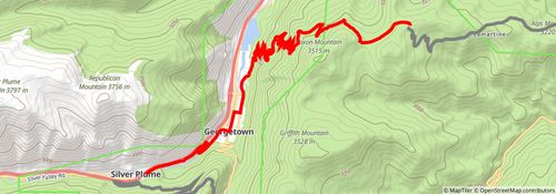
Starting at: Downieville-Lawson-Dumont, Clear Creek County, 80452
Ending at: Silver Plume, Clear Creek County, 80476
Distance: 16.3 km
Elevation gain: 372 m
Duration: 03:53:06
stage 242
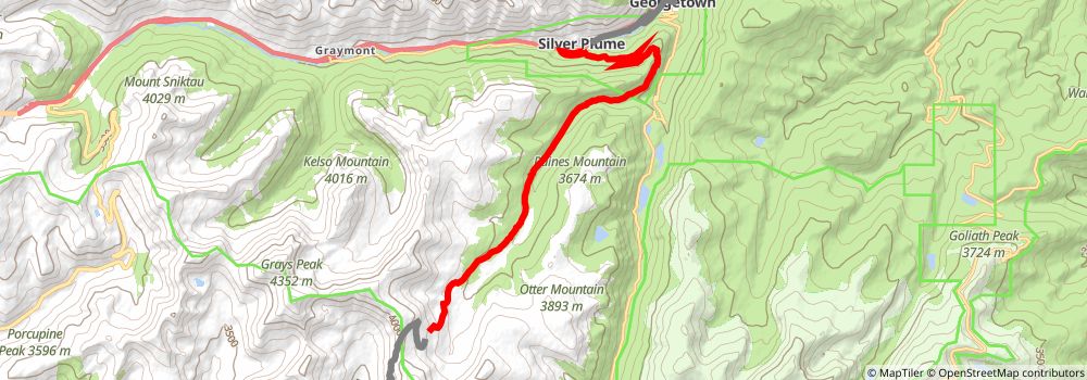
Starting at: Silver Plume, Clear Creek County, 80476
Ending at: Silver Plume, Clear Creek County, 80476
Distance: 16.2 km
Elevation gain: 1176 m
Duration: 05:12:19
stage 243
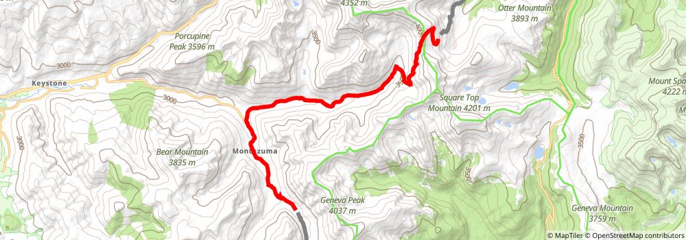
Starting at: Silver Plume, Clear Creek County, 80476
Ending at: Keystone, Summit County, 80435
Distance: 18.0 km
Elevation gain: 538 m
Duration: 04:30:21
stage 244
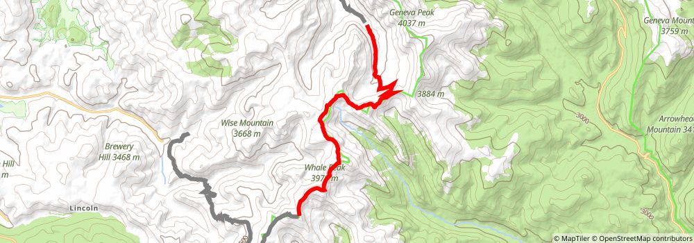
Starting at: Keystone, Summit County, 80435
Ending at: Keystone, Summit County, 80424
Distance: 14.4 km
Elevation gain: 978 m
Duration: 04:30:39
stage 245
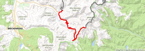
Starting at: Keystone, Summit County, 80424
Ending at: Keystone, Summit County, 80424
Distance: 15.4 km
Elevation gain: 149 m
Duration: 03:19:25
stage 246
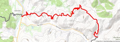
Starting at: Keystone, Summit County, 80424
Ending at: Breckenridge, Summit County, 80424
Distance: 20.2 km
Elevation gain: 674 m
Duration: 05:09:57
stage 247
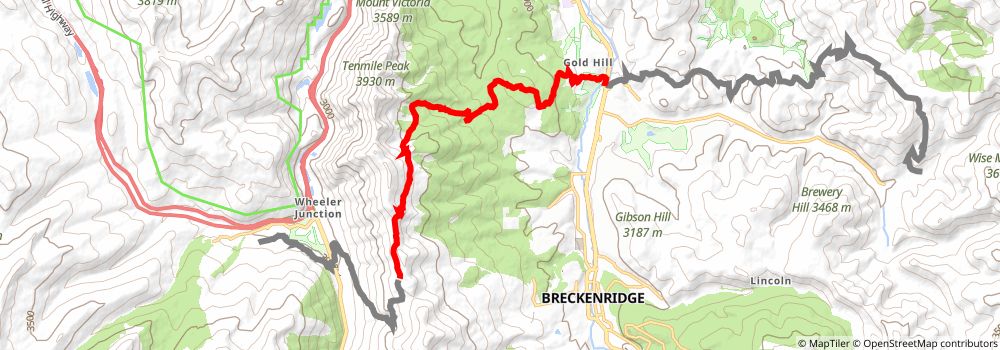
Starting at: Breckenridge, Summit County, 80424
Ending at: Copper Mountain, Summit County, 80443
Distance: 15.5 km
Elevation gain: 1157 m
Duration: 05:02:04
stage 248
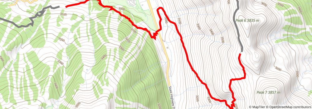
Starting at: Copper Mountain, Summit County, 80443
Ending at: Copper Mountain, Summit County, 80443
Distance: 8.9 km
Elevation gain: 201 m
Duration: 02:06:26
stage 249
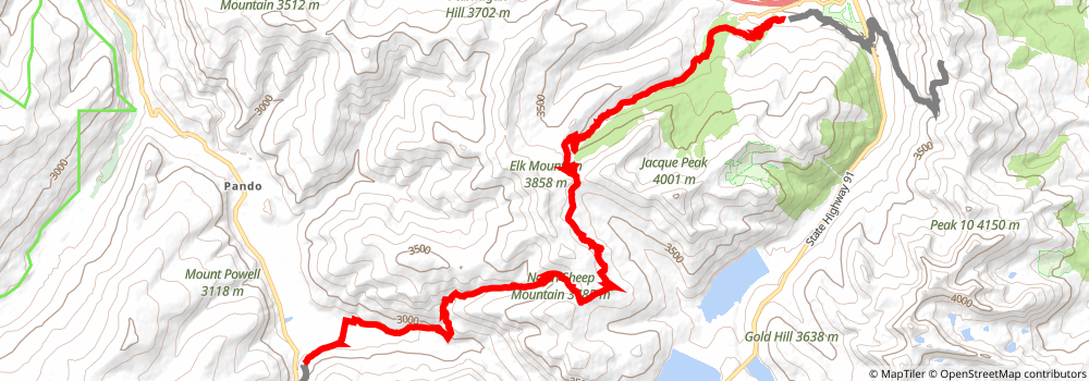
Starting at: Frisco, Summit County, 80443
Ending at: Minturn, Eagle County, 81645
Distance: 27.5 km
Elevation gain: 1117 m
Duration: 07:21:41
stage 250
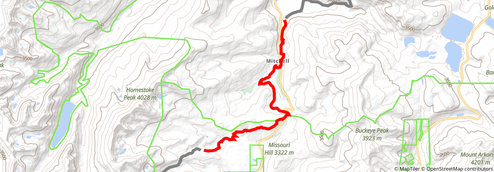
Starting at: Minturn, Eagle County, 81645
Ending at: Leadville, Lake County, 80461
Distance: 15.8 km
Elevation gain: 559 m
Duration: 04:05:26
stage 251
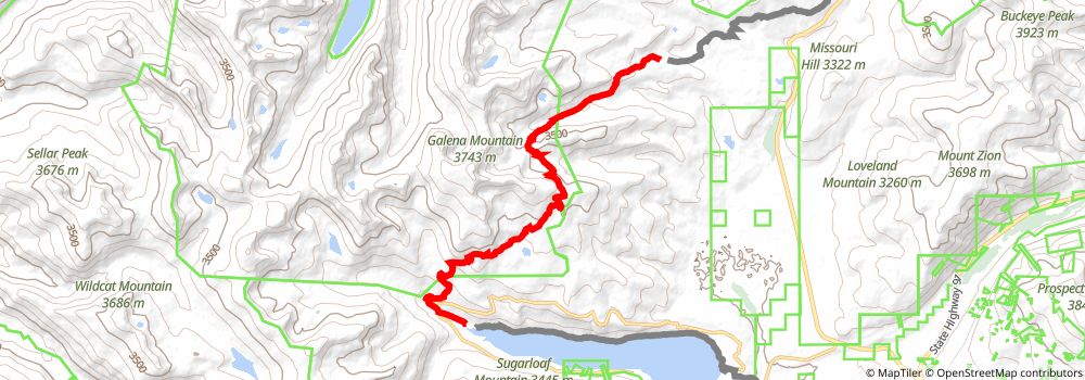
Starting at: Leadville, Lake County, 80461
Ending at: Lake County, 80461
Distance: 15.3 km
Elevation gain: 606 m
Duration: 04:04:11
stage 252
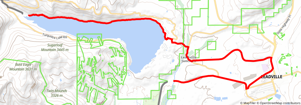
Starting at: Lake County, 80461
Ending at: Leadville North, Lake County, 80461
Distance: 20.7 km
Elevation gain: 310 m
Duration: 04:39:43
stage 253
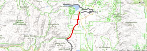
Starting at: Leadville North, Lake County, 80461
Ending at: Leadville, Lake County, 80461
Distance: 13.9 km
Elevation gain: 215 m
Duration: 03:07:59
stage 254
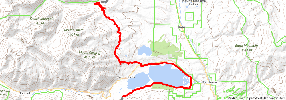
Ending at: Twin Lakes, Lake County, 81251
Distance: 27.4 km
Elevation gain: 613 m
Duration: 06:30:20
stage 255
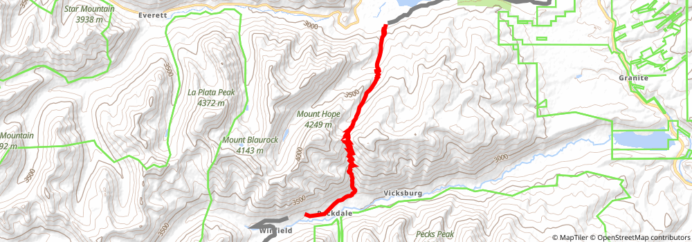
Starting at: Twin Lakes, Lake County, 81251
Ending at: Buena Vista, Chaffee County, 81211
Distance: 12.5 km
Elevation gain: 1135 m
Duration: 04:23:35
stage 256
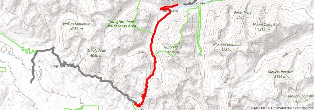
Starting at: Buena Vista, Chaffee County, 81211
Ending at: Almont, Gunnison County, 81210
Distance: 15.5 km
Elevation gain: 845 m
Duration: 04:30:34
stage 257
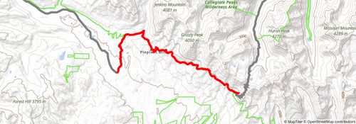
Starting at: Almont, Gunnison County, 81210
Ending at: Almont, Gunnison County, 81210
Distance: 18.3 km
Elevation gain: 445 m
Duration: 04:24:03
stage 258
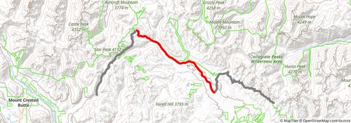
Starting at: Almont, Gunnison County, 81210
Ending at: Almont, Gunnison County, 81210
Distance: 19.3 km
Elevation gain: 643 m
Duration: 04:56:07
stage 259
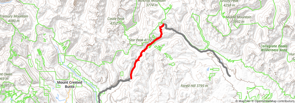
Starting at: Almont, Gunnison County, 81210
Ending at: Crested Butte, Gunnison County, 81224
Distance: 16.2 km
Elevation gain: 573 m
Duration: 04:12:11
stage 260
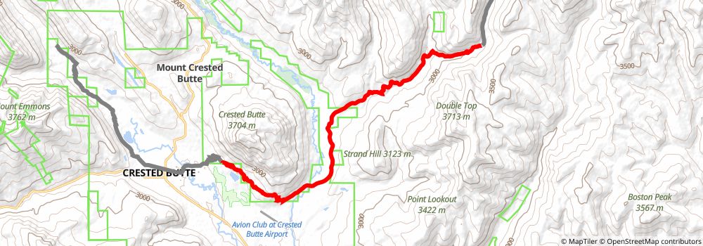
Starting at: Crested Butte, Gunnison County, 81224
Ending at: Crested Butte, Gunnison County, 81224
Distance: 17.5 km
Elevation gain: 410 m
Duration: 04:11:03
stage 261
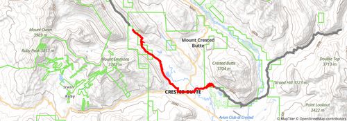
Starting at: Crested Butte, Gunnison County, 81224
Ending at: Crested Butte, Gunnison County, 81225
Distance: 12.1 km
Elevation gain: 228 m
Duration: 02:47:54
stage 262
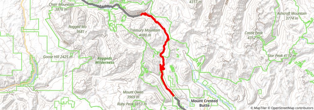
Starting at: Crested Butte, Gunnison County, 81225
Distance: 24.9 km
Elevation gain: 935 m
Duration: 06:32:20
stage 263
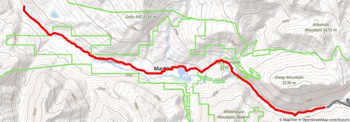
Starting at: Lucky Boy Mine, Carbondale, Gunnison County, 81623
Ending at: Carbondale, Gunnison County, 81623
Distance: 16.0 km
Elevation gain: 207 m
Duration: 03:32:48
stage 264
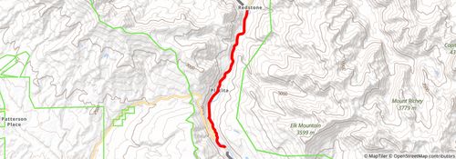
Starting at: Carbondale, Gunnison County, 81623
Ending at: Carbondale, Pitkin County, 81623
Distance: 10.5 km
Elevation gain: 74 m
Duration: 02:13:41
stage 265
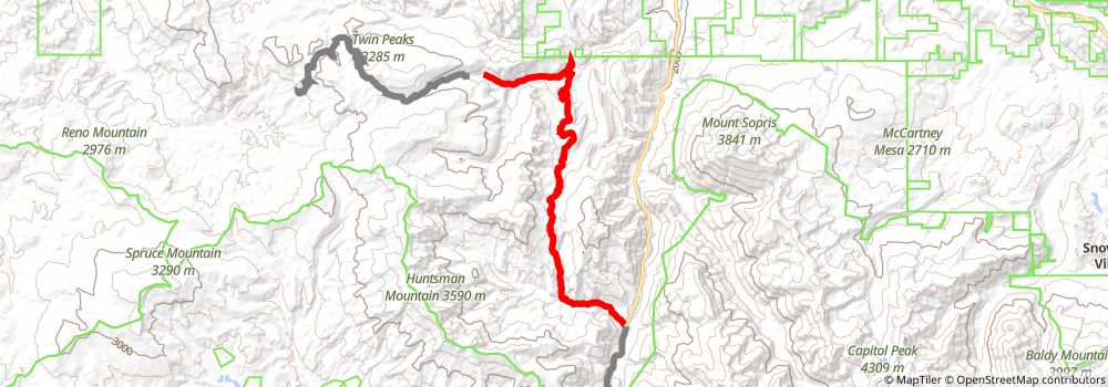
Starting at: Carbondale, Pitkin County, 81623
Ending at: Carbondale, Pitkin County, 81623
Distance: 26.7 km
Elevation gain: 1463 m
Duration: 07:46:47
stage 266
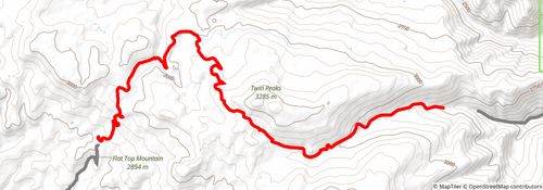
Starting at: Carbondale, Pitkin County, 81623
Ending at: Mesa County, 81624
Distance: 17.2 km
Elevation gain: 644 m
Duration: 04:30:14
stage 267
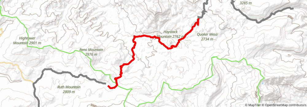
Starting at: Mesa County, 81624
Ending at: Collbran, Mesa County, 81624
Distance: 17.6 km
Elevation gain: 596 m
Duration: 04:30:22
stage 268
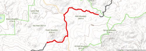
Starting at: Collbran, Mesa County, 81624
Ending at: Collbran, Mesa County, 81624
Distance: 19.4 km
Elevation gain: 382 m
Duration: 04:30:34
stage 269
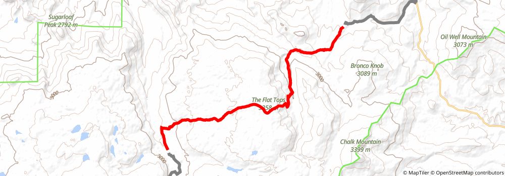
Starting at: Collbran, Mesa County, 81624
Ending at: Collbran, Mesa County, 81624
Distance: 17.9 km
Elevation gain: 554 m
Duration: 04:30:07
stage 270
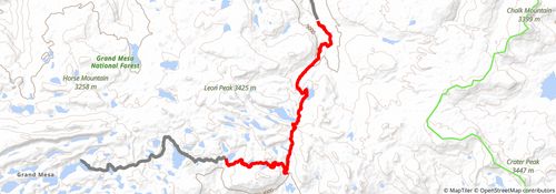
Starting at: Collbran, Mesa County, 81624
Ending at: Cedaredge, Delta County, 81413
Distance: 16.5 km
Elevation gain: 562 m
Duration: 04:13:56