American Discovery Trail South Route trail stages
stage 151
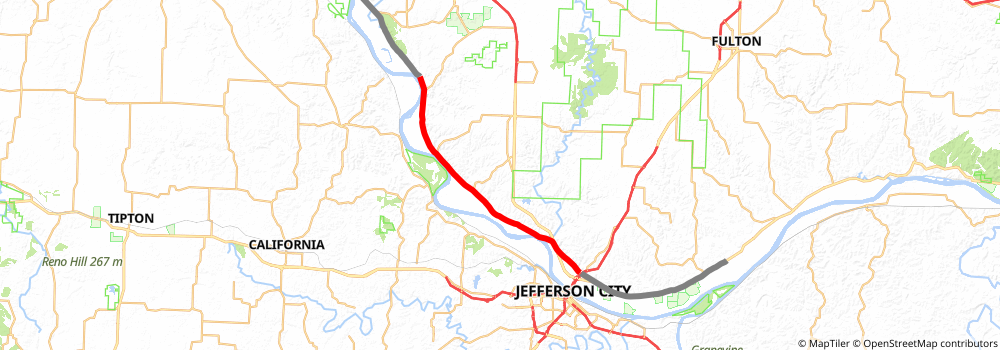
Starting at: Jefferson City, Cole County, 65101
Ending at: Columbia, Boone County, 65203
Distance: 32.5 km
Elevation gain: 168 m
Duration: 06:46:37
stage 152
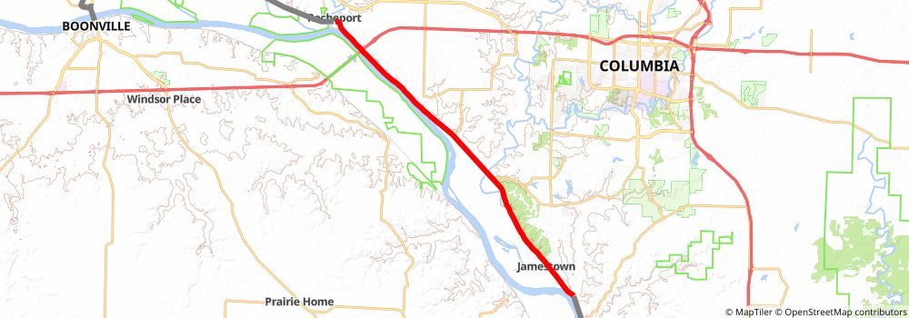
Starting at: Boone County, 65203
Ending at: Rocheport, Boone County, 65279
Distance: 24.2 km
Elevation gain: 229 m
Duration: 05:13:12
stage 153
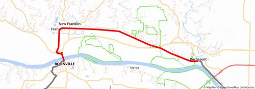
Starting at: Rocheport, Boone County, 65279
Ending at: Boonville, Cooper County, 65233
Distance: 21.5 km
Elevation gain: 90 m
Duration: 04:26:28
stage 154
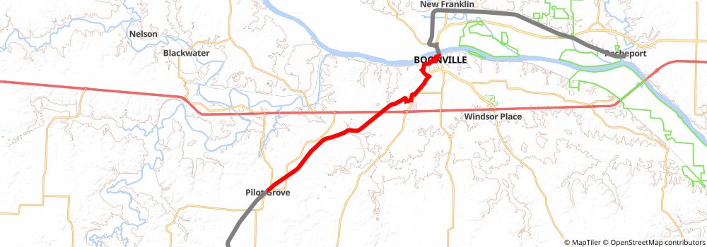
Starting at: Boonville, Cooper County, 65233
Ending at: Pilot Grove, Cooper County, 65276
Distance: 21.0 km
Elevation gain: 257 m
Duration: 04:37:08
stage 155
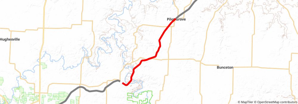
Starting at: Pilot Grove, Cooper County, 65276
Ending at: Otterville, Cooper County, 65348
Distance: 19.4 km
Elevation gain: 148 m
Duration: 04:07:21
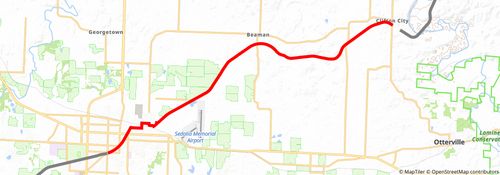
stage 156
stage 157
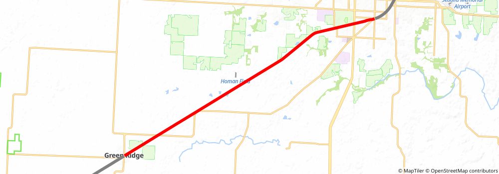
Starting at: Sedalia, Pettis County, 65301
Ending at: Green Ridge, Pettis County, 65332
Distance: 17.3 km
Elevation gain: 66 m
Duration: 03:34:10
stage 158
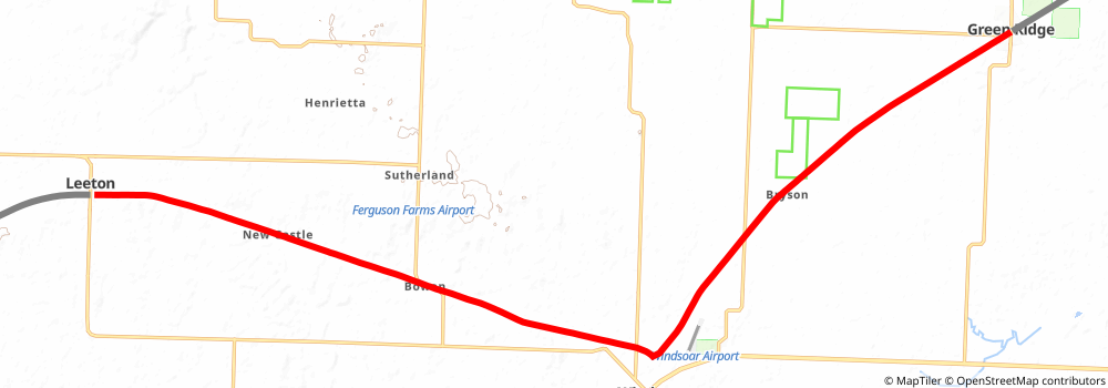
Starting at: Green Ridge, Pettis County, 65332
Ending at: Leeton, Johnson County, 64761
Distance: 29.1 km
Elevation gain: 145 m
Duration: 06:03:50
stage 159
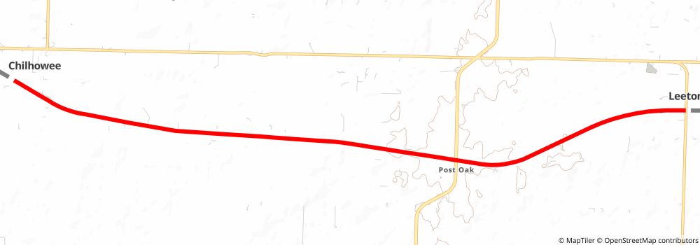
Starting at: Leeton, Johnson County, 64761
Ending at: Chilhowee, Johnson County, 64733
Distance: 15.0 km
Elevation gain: 58 m
Duration: 03:05:14
stage 160
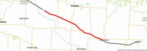
Starting at: Chilhowee, Johnson County, 64733
Ending at: Gunn City, Johnson County, 64061
Distance: 27.8 km
Elevation gain: 149 m
Duration: 05:48:26
stage 161
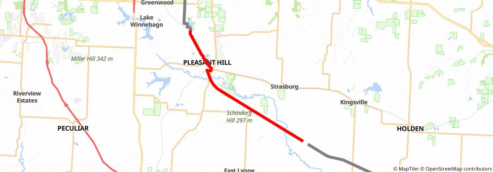
Starting at: Polk, Cass County, 64061
Ending at: Big Creek, Cass County, 64080
Distance: 21.2 km
Elevation gain: 85 m
Duration: 04:22:40
stage 162
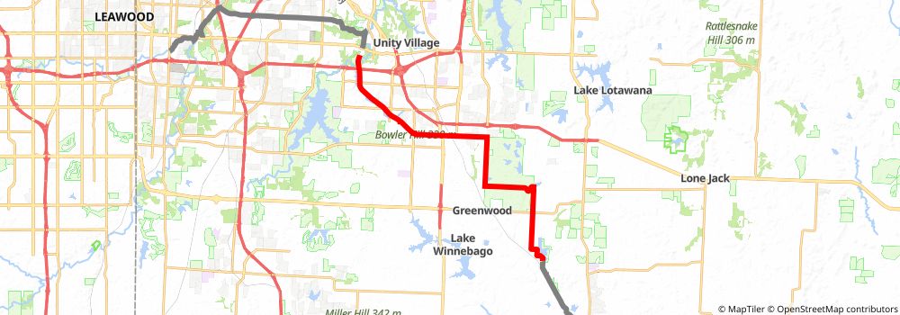
Starting at: Big Creek, Cass County, 64080
Distance: 24.4 km
Elevation gain: 230 m
Duration: 05:16:12
stage 163
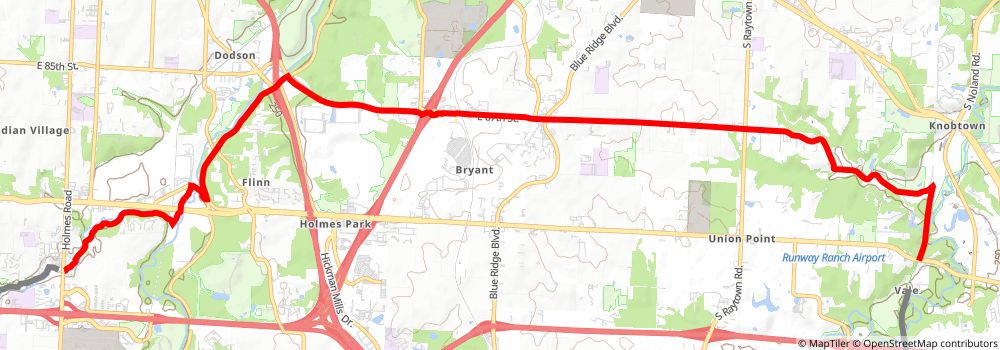
Starting at: Vale, Kansas City, Jackson County, 64138
Distance: 17.0 km
Elevation gain: 279 m
Duration: 03:51:30
stage 164
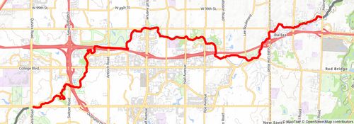
Starting at: Willow Creek, Kansas City, Jackson County, 64131
Ending at: Overland Park, Johnson County, 66213
Distance: 19.1 km
Elevation gain: 207 m
Duration: 04:09:45
stage 165
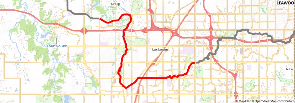
Starting at: Overland Park, Johnson County, 66213
Ending at: Lenexa, Johnson County, 66220
Distance: 21.2 km
Elevation gain: 332 m
Duration: 04:47:19
stage 166
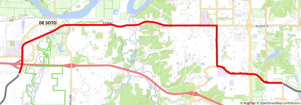
Starting at: Lenexa, Johnson County, 66220
Ending at: De Soto, Johnson County, 66018
Distance: 16.9 km
Elevation gain: 198 m
Duration: 03:43:04
stage 167
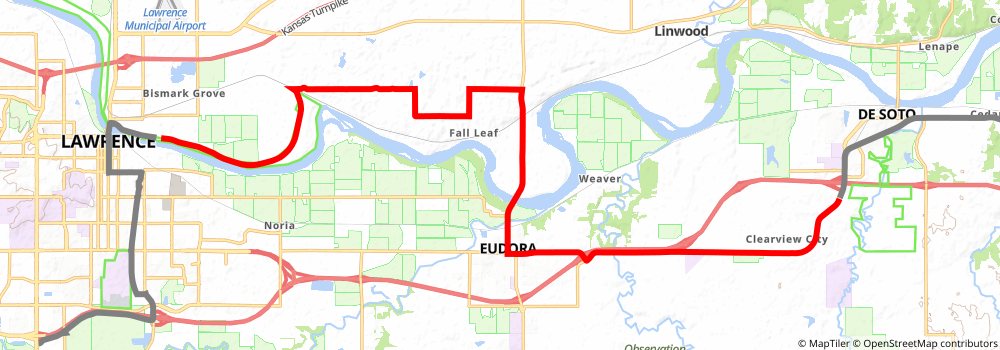
Starting at: De Soto, Johnson County, 66018
Ending at: Lawrence, Douglas County, 66044
Distance: 30.5 km
Elevation gain: 298 m
Duration: 06:35:48
stage 168
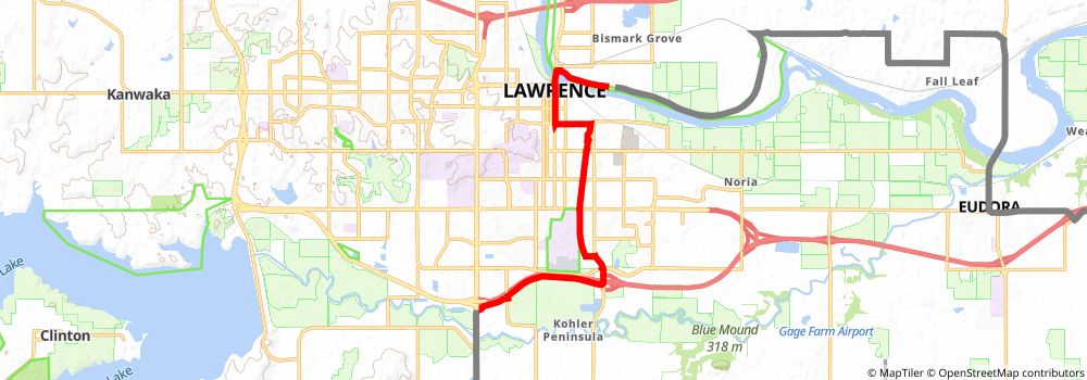
Starting at: Lawrence, Douglas County, 66044
Ending at: Lawrence, Douglas County, 66046
Distance: 12.7 km
Elevation gain: 75 m
Duration: 02:39:21
stage 169
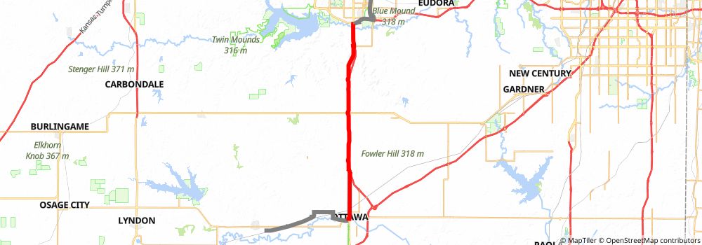
Starting at: Lawrence, Douglas County, 66046
Ending at: Ottawa, Franklin County, 66067
Distance: 34.2 km
Elevation gain: 274 m
Duration: 07:17:15
stage 170
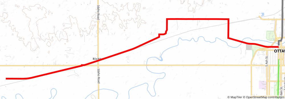
Starting at: Ottawa, Franklin County, 66067
Ending at: Pomona, Franklin County, 66076
Distance: 18.2 km
Elevation gain: 58 m
Duration: 03:44:29
stage 171
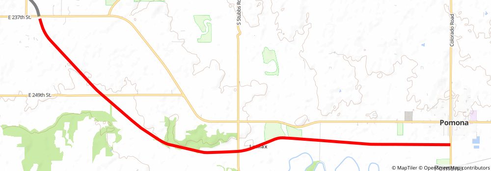
Starting at: Pomona, Franklin County, 66076
Ending at: Vassar, Osage County, 66543
Distance: 14.3 km
Elevation gain: 62 m
Duration: 02:58:11
stage 172
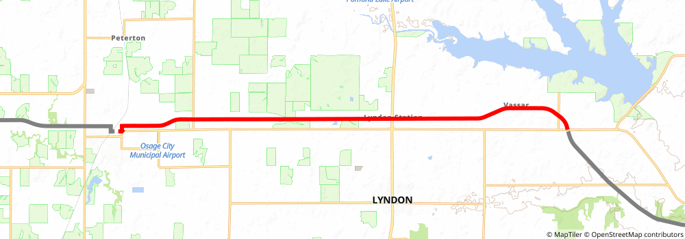
Starting at: Vassar, Osage County, 66543
Ending at: Osage City, Osage County, 66523
Distance: 20.6 km
Elevation gain: 44 m
Duration: 04:11:27
stage 173
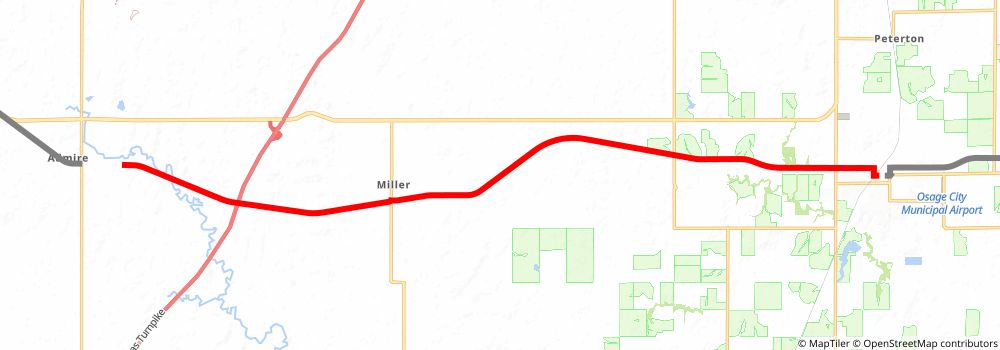
Starting at: Osage City, Osage County, 66523
Ending at: Ivy, Lyon County, 66830
Distance: 24.9 km
Elevation gain: 118 m
Duration: 05:11:04
stage 174
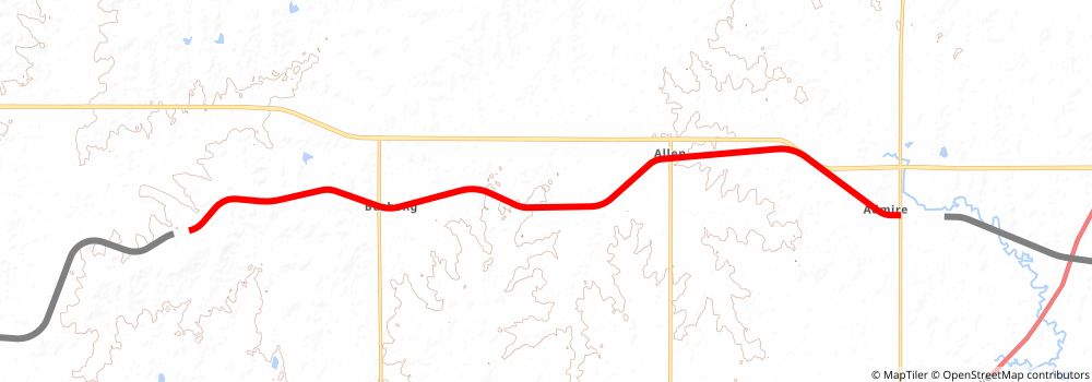
Starting at: Admire, Lyon County, 66830
Ending at: Grove, Lyon County, 66846
Distance: 21.5 km
Elevation gain: 123 m
Duration: 04:30:35
stage 175
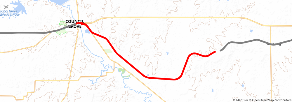
Starting at: Grove, Lyon County, 66846
Ending at: Grove, Morris County, 66846
Distance: 18.4 km
Elevation gain: 57 m
Duration: 03:46:00
stage 176
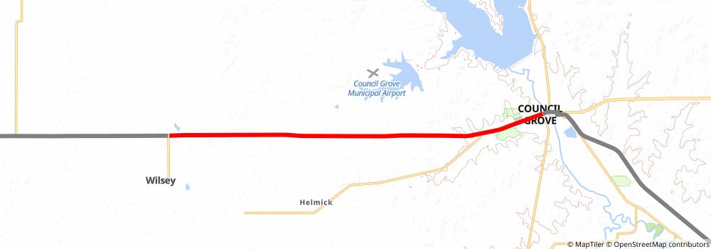
Starting at: Grove, Morris County, 66846
Ending at: , Morris County, 66873
Distance: 15.9 km
Elevation gain: 136 m
Duration: 03:24:24
stage 177
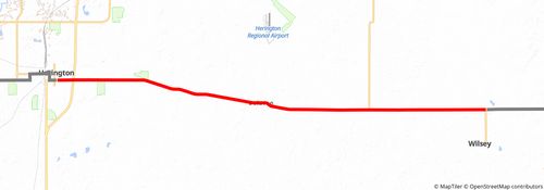
Starting at: , Morris County, 66873
Ending at: Herington, Dickinson County, 67449
Distance: 23.8 km
Elevation gain: 74 m
Duration: 04:53:10
stage 178
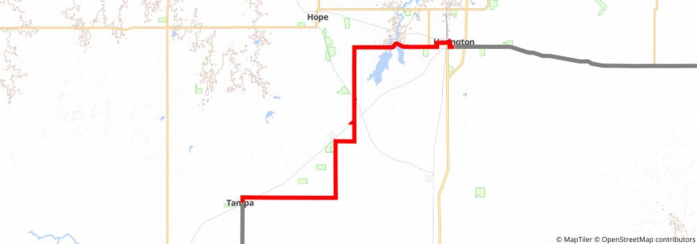
Starting at: Herington, Dickinson County, 67449
Ending at: Tampa, Marion County, 67483
Distance: 32.8 km
Elevation gain: 187 m
Duration: 06:52:51
stage 179
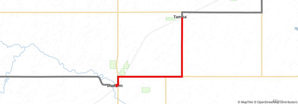
Starting at: Tampa, Marion County, 67483
Ending at: Durham, Marion County, 67438
Distance: 13.6 km
Elevation gain: 55 m
Duration: 02:49:00
stage 180
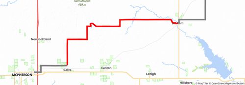
Starting at: Durham, Marion County, 67438
Ending at: Galva, McPherson County, 67443
Distance: 39.8 km
Elevation gain: 339 m
Duration: 08:30:58