American Discovery Trail South Route trail stages
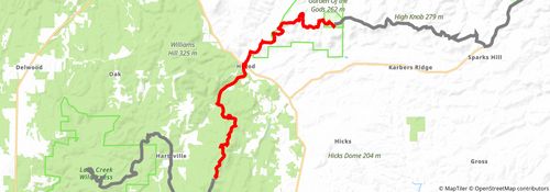
stage 121
stage 122
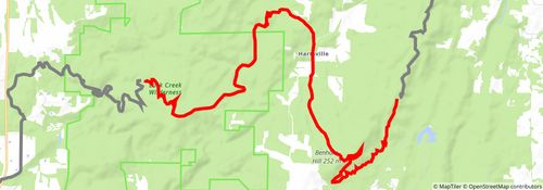
Starting at: Herod, Pope County, 62947
Ending at: Eddyville, Pope County, 62947
Distance: 19.2 km
Elevation gain: 396 m
Duration: 04:30:01
stage 123
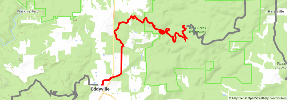
Starting at: Eddyville, Pope County, 62947
Ending at: Eddyville, Pope County, 62928
Distance: 12.0 km
Elevation gain: 262 m
Duration: 02:50:41
stage 124
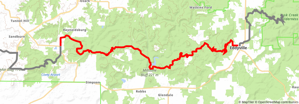
Starting at: Eddyville, Pope County, 62928
Ending at: Simpson, Johnson County, 62995
Distance: 31.3 km
Elevation gain: 658 m
Duration: 07:21:07
stage 125
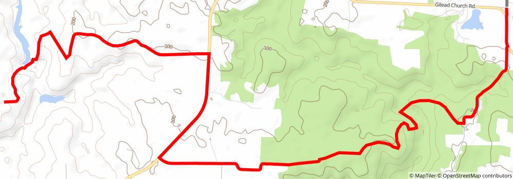
Starting at: Johnson County, 62985
Ending at: Vienna, Johnson County, 62995
Distance: 14.4 km
Elevation gain: 274 m
Duration: 03:19:48
stage 126
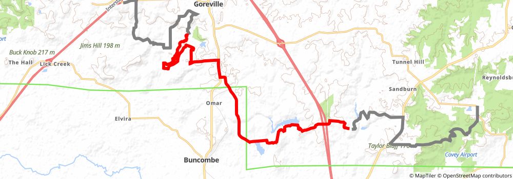
Starting at: Vienna, Johnson County, 62995
Ending at: Goreville, Johnson County, 62939
Distance: 22.8 km
Elevation gain: 450 m
Duration: 05:19:06
stage 127
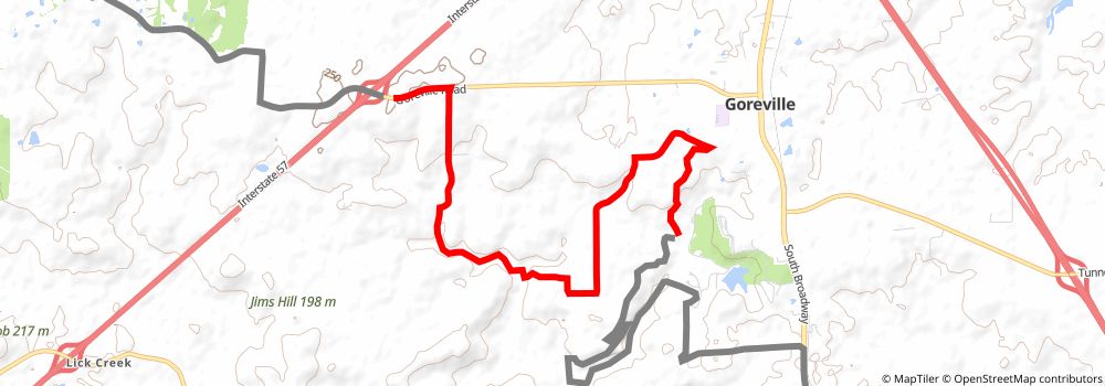
Starting at: Goreville, Johnson County, 62939
Ending at: Goreville, Johnson County, 62939
Distance: 10.7 km
Elevation gain: 306 m
Duration: 02:39:00
stage 128
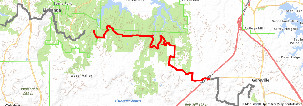
Starting at: Goreville, Johnson County, 62939
Ending at: Union County, 62920
Distance: 23.0 km
Elevation gain: 493 m
Duration: 05:25:17
stage 129
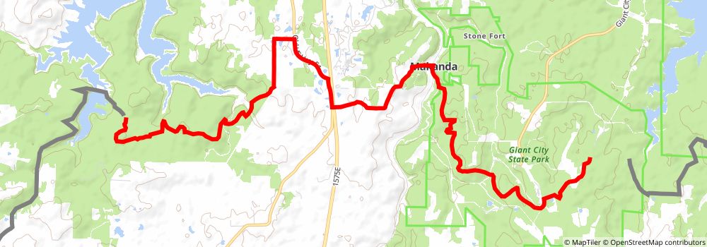
Starting at: Makanda, Jackson County, 62958
Ending at: Makanda, Jackson County, 62958
Distance: 18.7 km
Elevation gain: 537 m
Duration: 04:37:59
stage 130
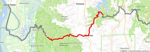
Starting at: Makanda, Jackson County, 62958
Ending at: Alto Pass, Union County, 62905
Distance: 18.5 km
Elevation gain: 490 m
Duration: 04:30:56
stage 131
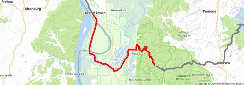
Starting at: Alto Pass, Union County, 62905
Ending at: Grand Tower, Jackson County, 62942
Distance: 20.4 km
Elevation gain: 325 m
Duration: 04:37:40
stage 132
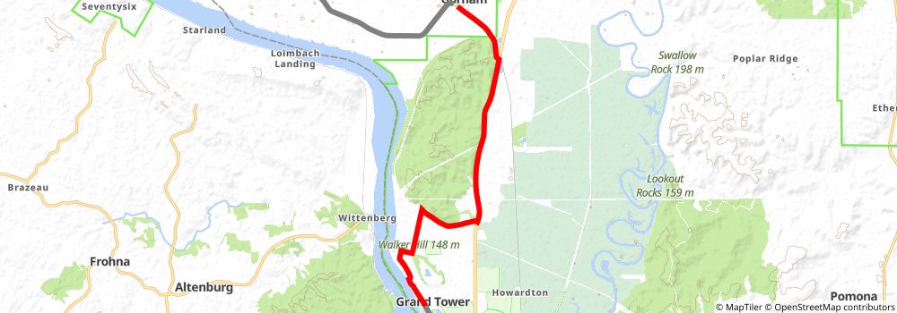
Starting at: Grand Tower, Jackson County, 62942
Distance: 14.3 km
Elevation gain: 68 m
Duration: 02:57:51
stage 133
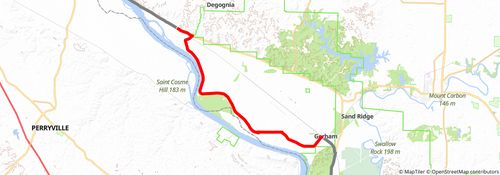
Starting at: Gorham, Jackson County, 62940
Ending at: Rockwood, Randolph County, 62280
Distance: 28.6 km
Elevation gain: 130 m
Duration: 05:56:10
stage 134
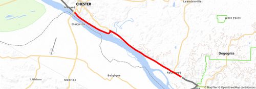
Starting at: Rockwood, Randolph County, 62280
Ending at: Chester, Randolph County, 62233
Distance: 15.3 km
Elevation gain: 157 m
Duration: 03:19:38
stage 135
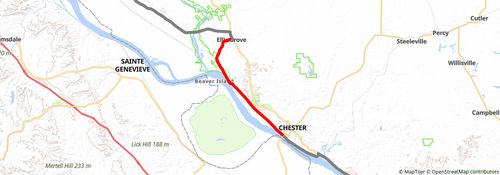
Starting at: Chester, Randolph County, 62233
Ending at: Ellis Grove, Randolph County, 62241
Distance: 15.7 km
Elevation gain: 172 m
Duration: 03:25:29
stage 136
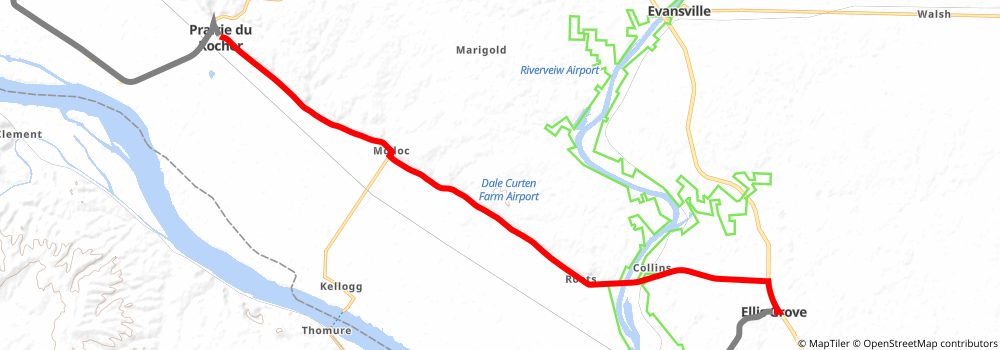
Starting at: Ellis Grove, Randolph County, 62241
Ending at: Prairie du Rocher, Randolph County, 62277
Distance: 20.3 km
Elevation gain: 161 m
Duration: 04:20:08
stage 137
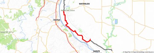
Starting at: Prairie du Rocher, Randolph County, 62277
Ending at: Valmeyer, Monroe County, 62295
Distance: 42.0 km
Elevation gain: 101 m
Duration: 08:34:15
stage 138
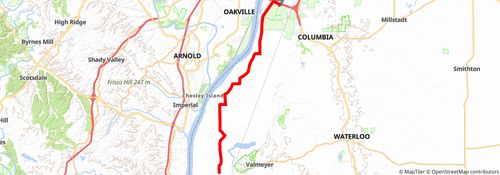
Starting at: Valmeyer, Monroe County, 62295
Ending at: Columbia, Monroe County, 62236
Distance: 25.6 km
Elevation gain: 65 m
Duration: 05:14:08
stage 139
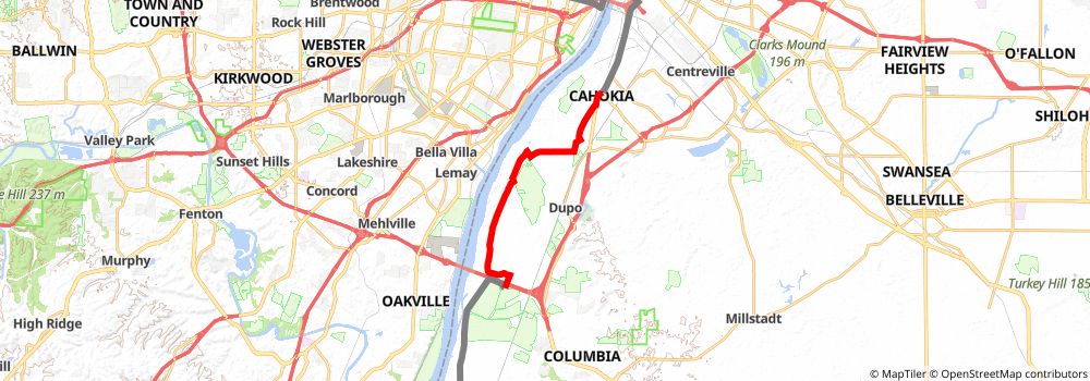
Starting at: Columbia, Monroe County, 62236
Distance: 15.8 km
Elevation gain: 41 m
Duration: 03:14:07
stage 140
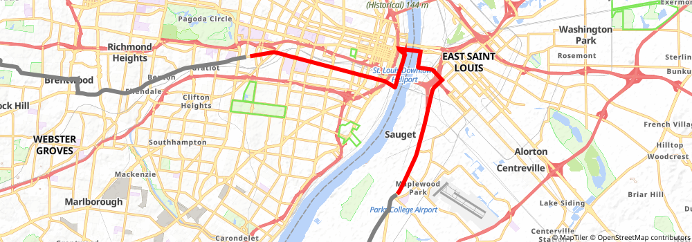
Distance: 16.8 km
Elevation gain: 93 m
Duration: 03:31:02
stage 141
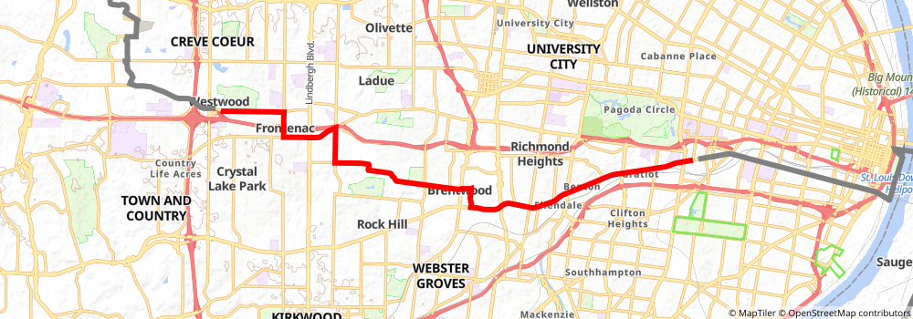
Distance: 19.0 km
Elevation gain: 168 m
Duration: 04:05:05
stage 142
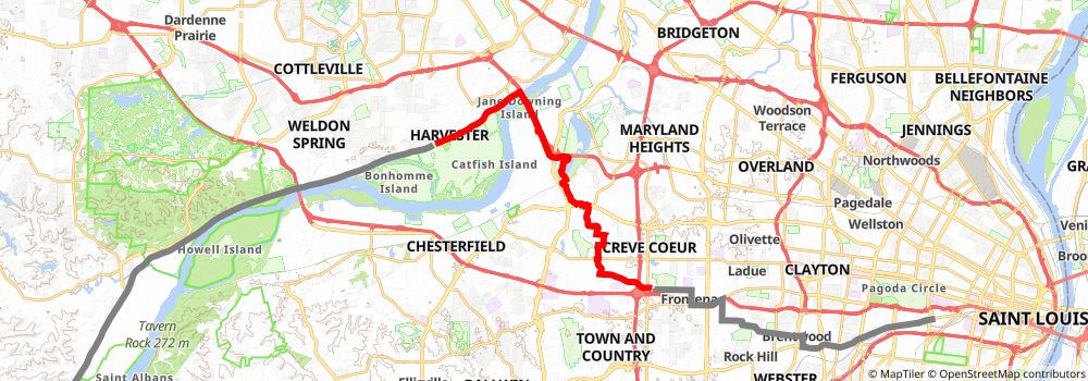
Starting at: Greenwood, Des Peres, St. Louis County, 63131
Ending at: Weldon Spring, St. Charles County, 63303
Distance: 22.8 km
Elevation gain: 175 m
Duration: 04:51:21
stage 143
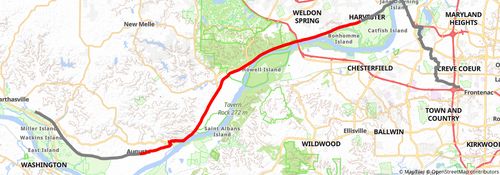
Starting at: Weldon Spring, St. Charles County, 63303
Ending at: Augusta, St. Charles County, 63332
Distance: 33.2 km
Elevation gain: 291 m
Duration: 07:07:21
stage 144
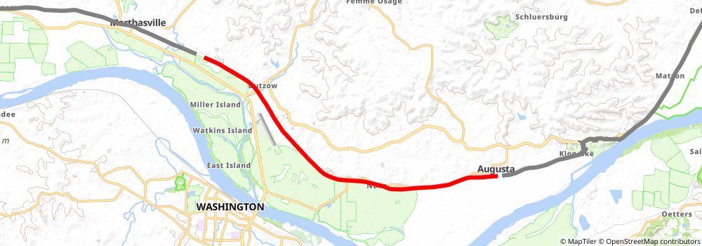
Starting at: Augusta, St. Charles County, 63332
Ending at: Three Creeks, Warren County, 63357
Distance: 15.2 km
Elevation gain: 122 m
Duration: 03:14:19
stage 145
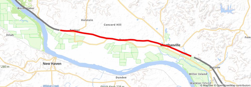
Starting at: Marthasville, Warren County, 63357
Ending at: Pinckney, Warren County, 63357
Distance: 16.2 km
Elevation gain: 112 m
Duration: 03:25:24
stage 146
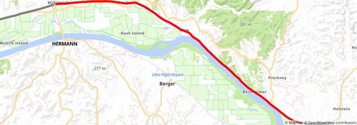
Starting at: Pinckney, Warren County, 63357
Ending at: Mckittrick, Montgomery County, 65041
Distance: 24.3 km
Elevation gain: 287 m
Duration: 05:19:43
stage 147
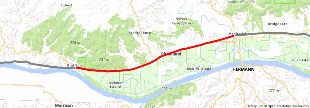
Starting at: Mckittrick, Montgomery County, 65041
Ending at: Morrison, Montgomery County, 65069
Distance: 16.0 km
Elevation gain: 87 m
Duration: 03:20:29
stage 148
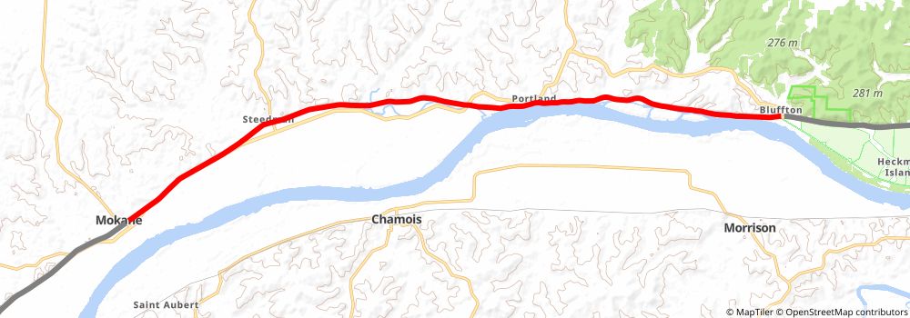
Starting at: Morrison, Montgomery County, 65069
Ending at: Mokane, Callaway County, 65059
Distance: 22.9 km
Elevation gain: 289 m
Duration: 05:03:27
stage 149
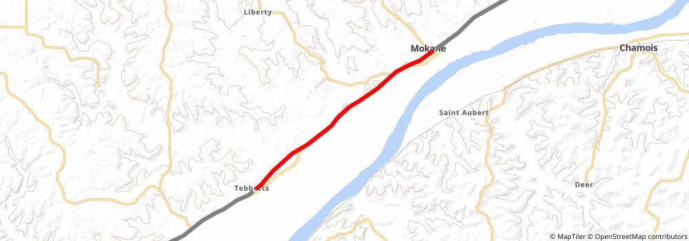
Starting at: Mokane, Callaway County, 65059
Ending at: Cote Sans Dessein, Callaway County, 65080
Distance: 10.0 km
Elevation gain: 56 m
Duration: 02:05:14
stage 150
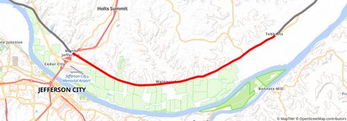
Starting at: Tebbetts, Callaway County, 65080
Ending at: Jefferson City, Cole County, 65043
Distance: 19.3 km
Elevation gain: 122 m
Duration: 04:04:06