American Discovery Trail South Route trail stages
stage 211
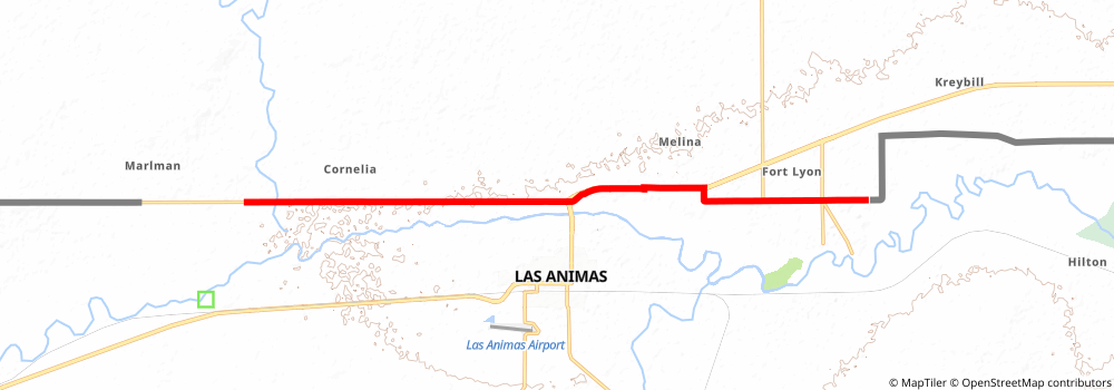
Starting at: Las Animas, Bent County, 81054
Ending at: Las Animas, Bent County, 81054
Distance: 20.1 km
Elevation gain: 44 m
Duration: 04:06:03
stage 212
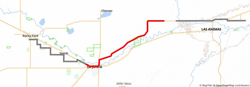
Starting at: Las Animas, Bent County, 81054
Ending at: Hampton Inn, La Junta, Otero County, 81050
Distance: 25.3 km
Elevation gain: 110 m
Duration: 05:15:01
stage 213
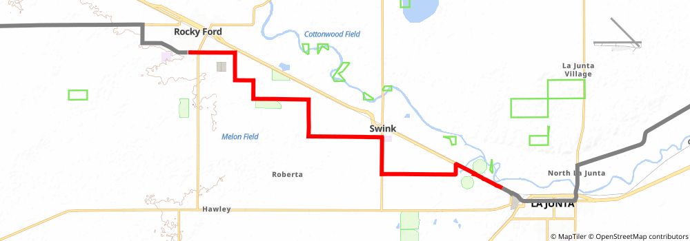
Starting at: Hampton Inn, La Junta, Otero County, 81050
Ending at: Rocky Ford, Otero County, 81067
Distance: 19.7 km
Elevation gain: 85 m
Duration: 04:05:20
stage 214
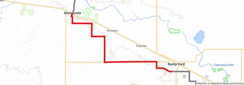
Starting at: Rocky Ford, Otero County, 81067
Ending at: Manzanola, Otero County, 81058
Distance: 19.5 km
Elevation gain: 112 m
Duration: 04:05:37
stage 215
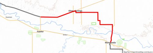
Starting at: West Manzanola, Manzanola, Otero County, 81058
Ending at: Fowler, Crowley County, 81039
Distance: 20.6 km
Elevation gain: 73 m
Duration: 04:15:00
stage 216
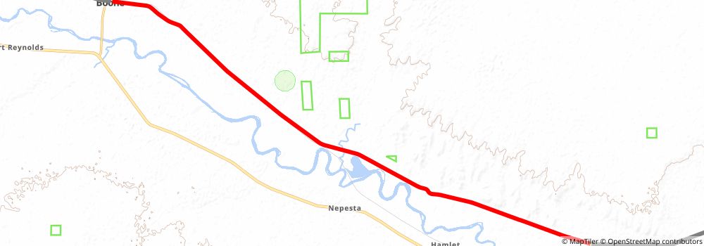
Starting at: Fowler, Crowley County, 81039
Ending at: Boone, Pueblo County, 81025
Distance: 23.4 km
Elevation gain: 47 m
Duration: 04:45:56
stage 217
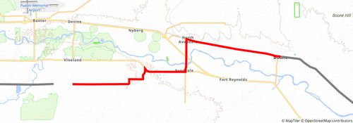
Starting at: Boone, Pueblo County, 81025
Ending at: Pueblo, Pueblo County, 81006
Distance: 23.1 km
Elevation gain: 101 m
Duration: 04:46:50
stage 218
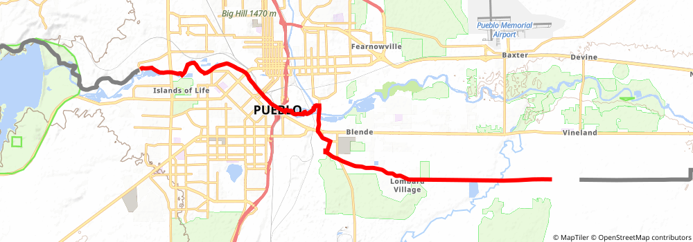
Starting at: Vineland, Pueblo County, 81006
Ending at: Pueblo, Pueblo County, 81003
Distance: 22.5 km
Elevation gain: 116 m
Duration: 04:41:04
stage 219
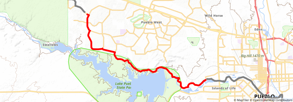
Starting at: Pueblo, Pueblo County, 81003
Ending at: Pueblo West, Pueblo County, 81007
Distance: 19.6 km
Elevation gain: 276 m
Duration: 04:23:09
stage 220
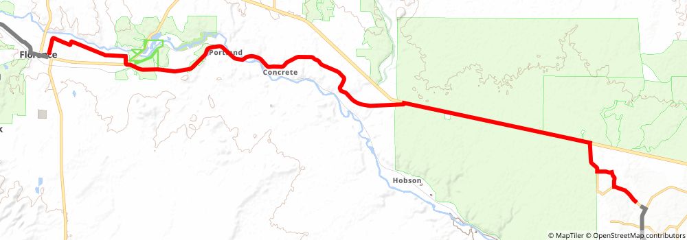
Starting at: Pueblo West, Pueblo County, 81007
Ending at: Florence, Fremont County, 81226
Distance: 31.4 km
Elevation gain: 268 m
Duration: 06:43:02
stage 221
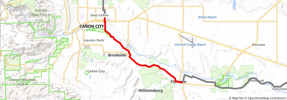
Starting at: Florence, Fremont County, 81226
Ending at: Canon City, Fremont County, 81212
Distance: 12.6 km
Elevation gain: 102 m
Duration: 02:41:09
stage 222
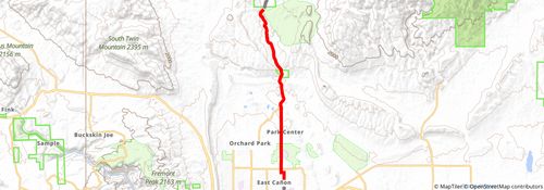
Starting at: Canon City, Fremont County, 81212
Ending at: Canon City, Fremont County, 81212
Distance: 10.2 km
Elevation gain: 271 m
Duration: 02:29:26
stage 223
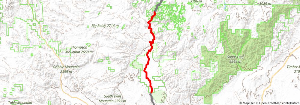
Starting at: Canon City, Fremont County, 81212
Ending at: Cripple Creek, Teller County, 80813
Distance: 21.6 km
Elevation gain: 1083 m
Duration: 06:07:06
stage 224
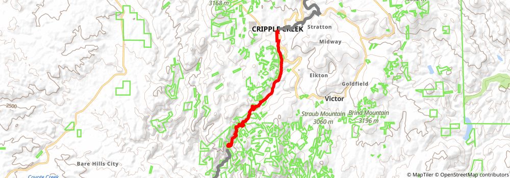
Starting at: Cripple Creek, Teller County, 80813
Ending at: Cripple Creek, Teller County, 80813
Distance: 9.8 km
Elevation gain: 843 m
Duration: 03:21:30
stage 225
Starting at: Cripple Creek, Teller County, 80813
Ending at: Divide, Teller County, 80814
Distance: 23.9 km
Elevation gain: 558 m
Duration: 05:42:39
stage 226
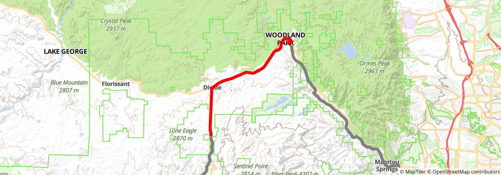
Starting at: Divide, Teller County, 80814
Ending at: Woodland Park, Teller County, 80863
Distance: 18.6 km
Elevation gain: 177 m
Duration: 04:00:46
stage 227
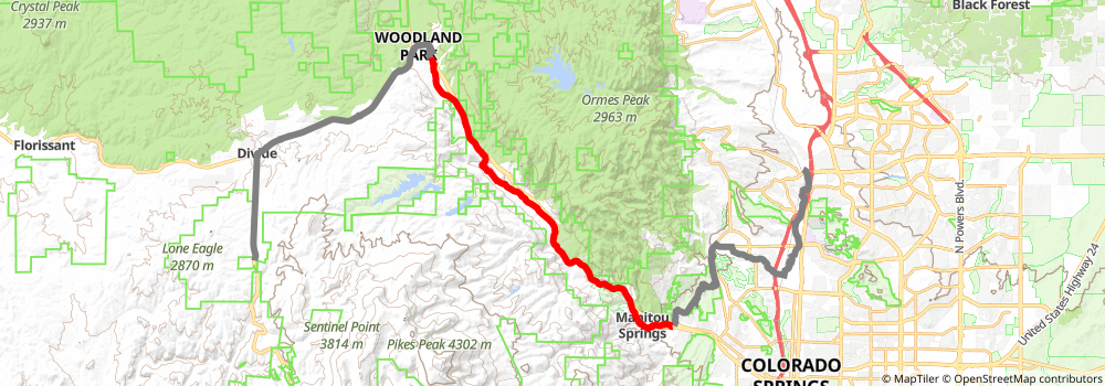
Starting at: Woodland Park, Teller County, 80863
Ending at: Manitou Springs, El Paso County, 80829
Distance: 22.3 km
Elevation gain: 143 m
Duration: 04:41:59
stage 228
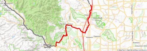
Starting at: Manitou Springs, El Paso County, 80829
Ending at: Colorado Springs, El Paso County, 80919
Distance: 18.8 km
Elevation gain: 360 m
Duration: 04:21:50
stage 229
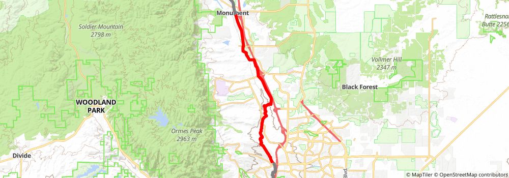
Starting at: Colorado Springs, El Paso County, 80919
Ending at: Monument, El Paso County, 80132
Distance: 20.9 km
Elevation gain: 356 m
Duration: 04:46:26
stage 230
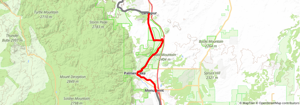
Starting at: Monument, El Paso County, 80132
Ending at: Larkspur, Douglas County, 80118
Distance: 22.7 km
Elevation gain: 240 m
Duration: 04:56:08
stage 231
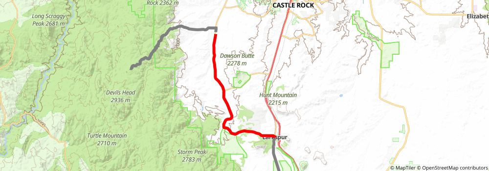
Starting at: Larkspur, Douglas County, 80118
Ending at: Sedalia, Douglas County, 80135
Distance: 19.4 km
Elevation gain: 190 m
Duration: 04:11:13
stage 232
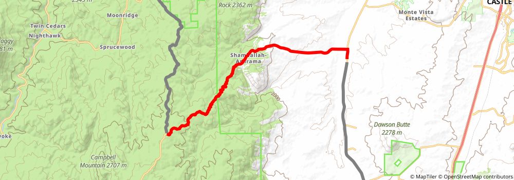
Starting at: Sedalia, Douglas County, 80135
Ending at: Sedalia, Douglas County, 80135
Distance: 15.0 km
Elevation gain: 896 m
Duration: 04:30:09
stage 233
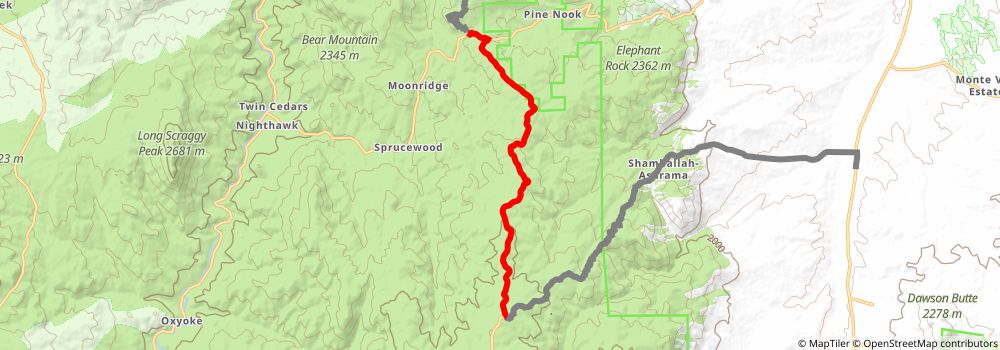
Starting at: Sedalia, Douglas County, 80135
Ending at: Sedalia, Douglas County, 80135
Distance: 11.0 km
Elevation gain: 99 m
Duration: 02:22:02
stage 234
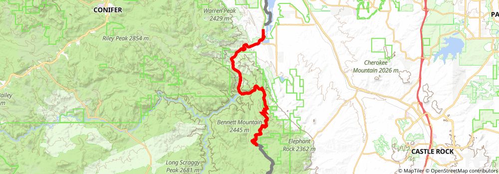
Starting at: Sedalia, Douglas County, 80135
Ending at: Roxborough Park, Jefferson County, 80128
Distance: 26.5 km
Elevation gain: 556 m
Duration: 06:13:40
stage 235
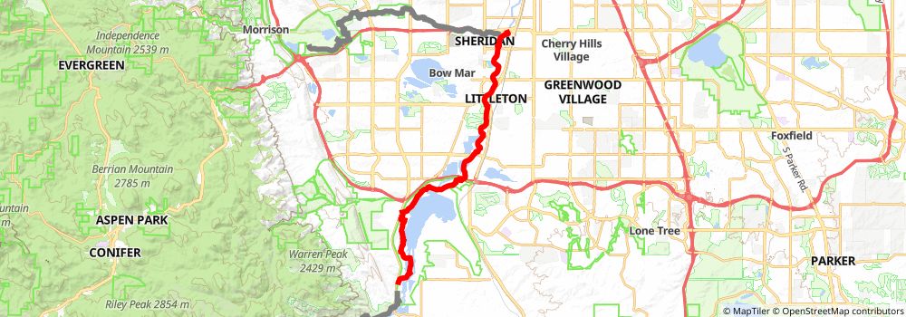
Starting at: Roxborough Park, Jefferson County, 80128
Ending at: Englewood, Arapahoe County, 80110
Distance: 23.9 km
Elevation gain: 99 m
Duration: 04:56:11
stage 236
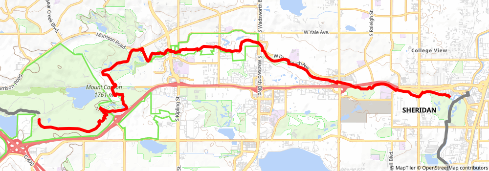
Starting at: 8, Sheridan, Arapahoe County, 80110
Ending at: BCLP RR01, Lakewood, Jefferson County, 80465
Distance: 18.3 km
Elevation gain: 226 m
Duration: 04:02:33
stage 237
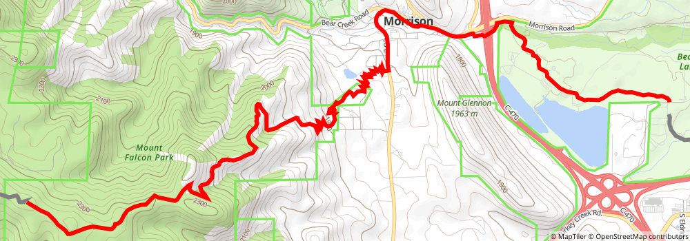
Starting at: Archery Range, Lakewood, Jefferson County, 80465
Distance: 11.6 km
Elevation gain: 717 m
Duration: 03:30:59
stage 238
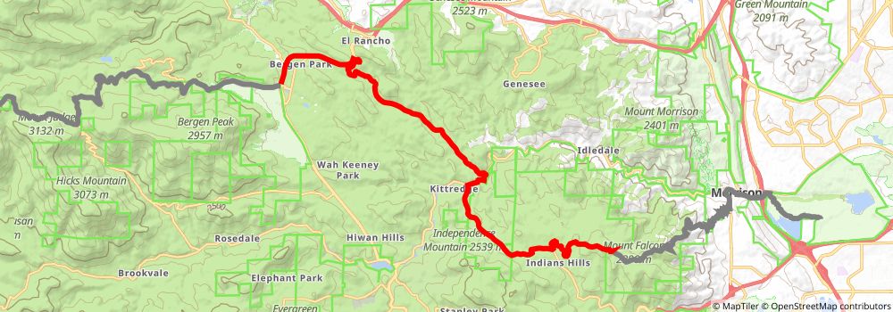
Starting at: Rooney Valley, Indian Hills, Jefferson County, 80465
Ending at: Evergreen, Jefferson County, 80439
Distance: 19.0 km
Elevation gain: 494 m
Duration: 04:37:45
stage 239
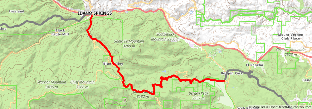
Starting at: Evergreen, Jefferson County, 80439
Ending at: Idaho Springs, Clear Creek County, 80452
Distance: 22.9 km
Elevation gain: 662 m
Duration: 05:40:38
stage 240
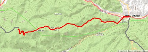
Starting at: Idaho Springs, Clear Creek County, 80452
Distance: 13.9 km
Elevation gain: 1159 m
Duration: 04:43:18