American Discovery Trail South Route trail stages
stage 301
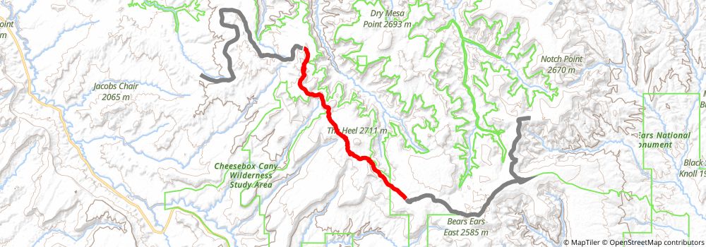
Starting at: Monticello, San Juan County, 84535
Ending at: Lake Powell, San Juan County, 84533
Distance: 19.4 km
Elevation gain: 375 m
Duration: 04:30:09
stage 302
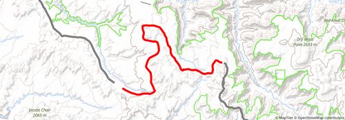
Starting at: Lake Powell, San Juan County, 84533
Ending at: Lake Powell, San Juan County, 84533
Distance: 21.6 km
Elevation gain: 124 m
Duration: 04:31:38
stage 303
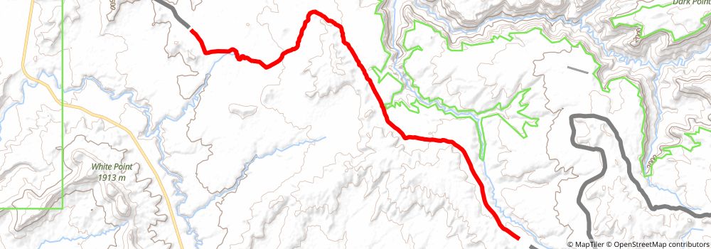
Starting at: Monticello, San Juan County, 84535
Ending at: Lake Powell, San Juan County, 84533
Distance: 22.1 km
Elevation gain: 61 m
Duration: 04:30:41
stage 304
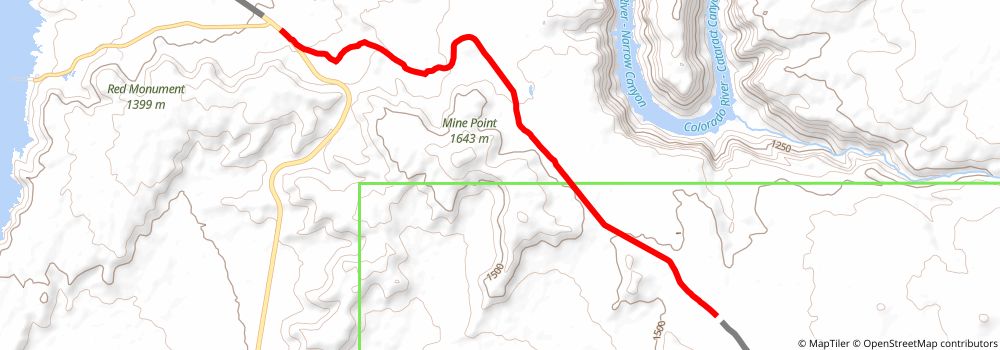
Starting at: Lake Powell, San Juan County, 84533
Ending at: Lake Powell, San Juan County, 84533
Distance: 9.5 km
Elevation gain: 11 m
Duration: 01:55:20
stage 305
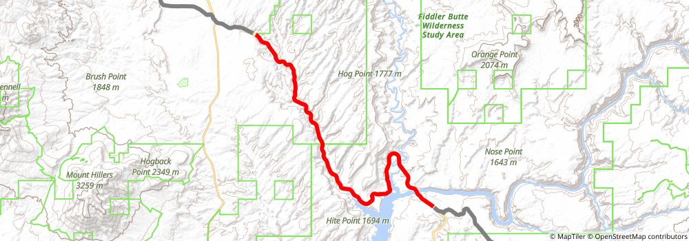
Starting at: Lake Powell, San Juan County, 84533
Ending at: Lake Powell, Garfield County, 84533
Distance: 32.7 km
Elevation gain: 675 m
Duration: 07:39:55
stage 306
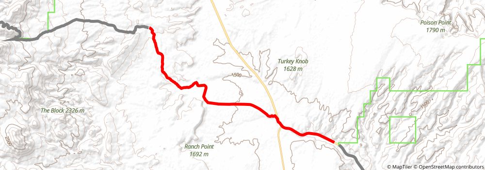
Starting at: Lake Powell, Garfield County, 84533
Ending at: Garfield County
Distance: 16.4 km
Elevation gain: 403 m
Duration: 03:57:07
stage 307
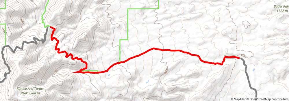
Starting at: Garfield County
Ending at: Garfield County
Distance: 14.5 km
Elevation gain: 1280 m
Duration: 05:02:11
stage 308
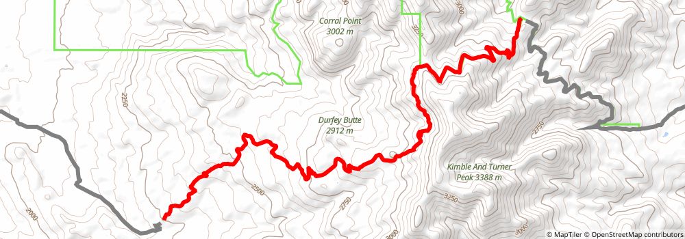
Starting at: Garfield County
Ending at: Torrey, Garfield County, 84775
Distance: 16.0 km
Elevation gain: 473 m
Duration: 03:58:43
stage 309
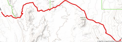
Starting at: Torrey, Garfield County, 84775
Ending at: Torrey, Garfield County, 84775
Distance: 21.5 km
Elevation gain: 135 m
Duration: 04:30:56
stage 310
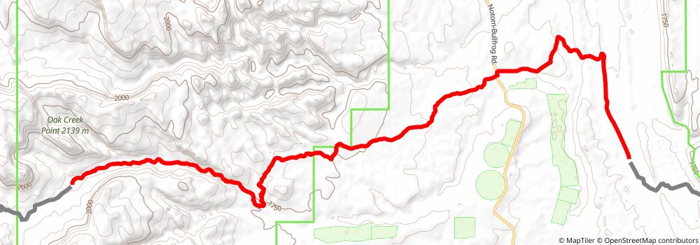
Starting at: Torrey, Garfield County, 84775
Ending at: Garfield County
Distance: 17.7 km
Elevation gain: 579 m
Duration: 04:30:26
stage 311
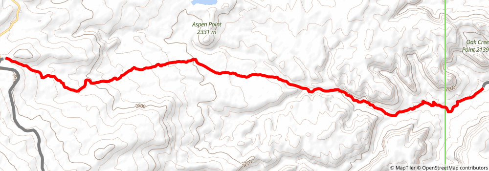
stage 312
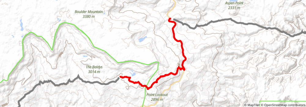
stage 313
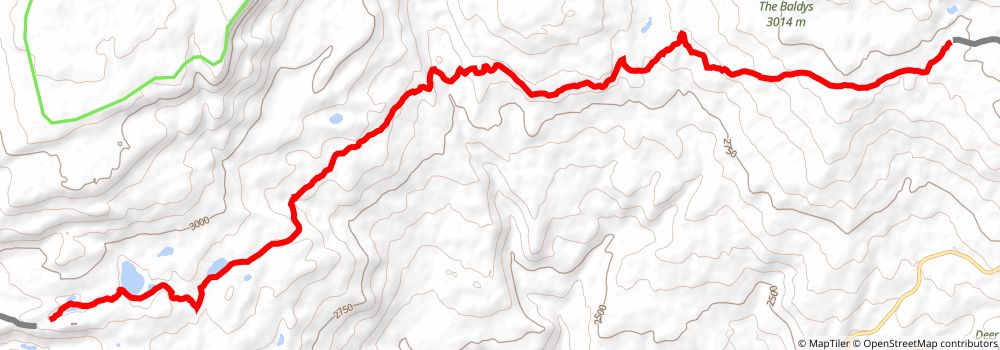
Starting at: Garfield County, 84716
Ending at: Escalante, Garfield County, 84726
Distance: 18.6 km
Elevation gain: 478 m
Duration: 04:30:22
stage 314
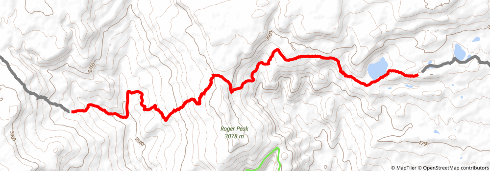
Starting at: Escalante, Garfield County, 84726
Ending at: Escalante, Garfield County, 84726
Distance: 16.1 km
Elevation gain: 778 m
Duration: 04:30:53
stage 315
Starting at: Escalante, Garfield County, 84726
Ending at: Antimony, Garfield County, 84712
Distance: 19.0 km
Elevation gain: 440 m
Duration: 04:31:38
stage 316
Starting at: Antimony, Garfield County, 84712
Ending at: Antimony, Garfield County, 84712
Distance: 22.7 km
Elevation gain: 301 m
Duration: 05:02:11
stage 317
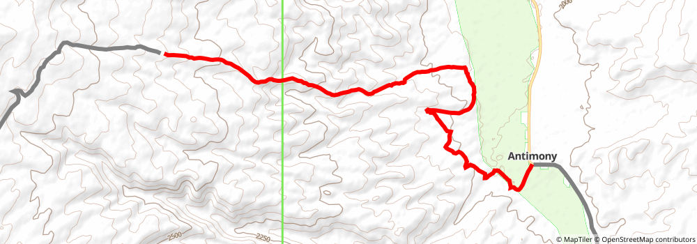
Starting at: Antimony, Garfield County, 84712
Ending at: Garfield County, 84759
Distance: 13.1 km
Elevation gain: 814 m
Duration: 03:59:02
stage 318
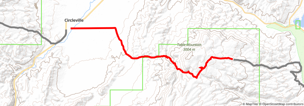
Starting at: Garfield County, 84759
Ending at: Circleville, Piute County, 84723
Distance: 21.4 km
Elevation gain: 409 m
Duration: 04:57:28
stage 319
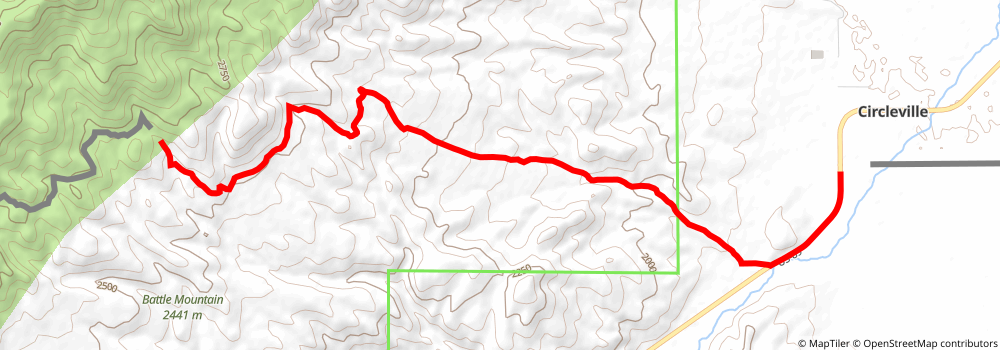
Starting at: Circleville, Piute County, 84723
Ending at: Piute County, 84759
Distance: 14.5 km
Elevation gain: 890 m
Duration: 04:22:46
stage 320
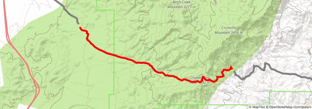
Starting at: Piute County, 84759
Ending at: Beaver, Beaver County, 84713
Distance: 19.4 km
Elevation gain: 392 m
Duration: 04:31:50
stage 321
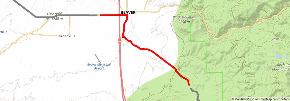
Starting at: Beaver, Beaver County, 84713
Ending at: Beaver, Beaver County, 84713
Distance: 14.5 km
Elevation gain: 34 m
Duration: 02:57:18
stage 322
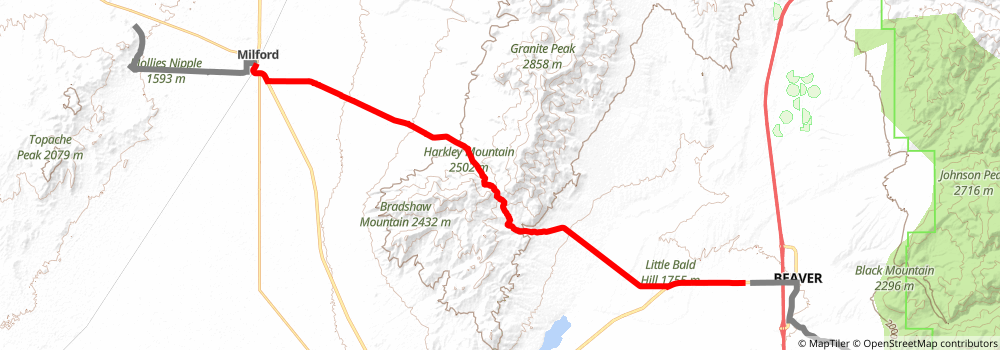
Starting at: Beaver, Beaver County, 84713
Ending at: Milford, Beaver County, 84751
Distance: 36.4 km
Elevation gain: 580 m
Duration: 08:14:38
stage 323
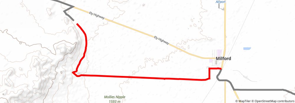
Starting at: Milford, Beaver County, 84751
Distance: 11.3 km
Elevation gain: 177 m
Duration: 02:32:52
stage 324
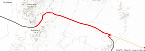
Starting at: Beaver County, 84751
Ending at: Milford, Beaver County, 84751
Distance: 19.4 km
Elevation gain: 376 m
Duration: 04:30:43
stage 325
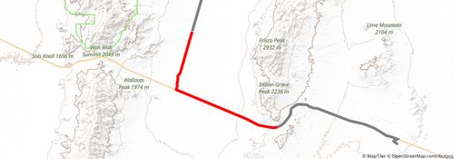
Starting at: Milford, Beaver County, 84751
Ending at: Beaver County, 84751
Distance: 22.5 km
Elevation gain: 7 m
Duration: 04:30:18
stage 326
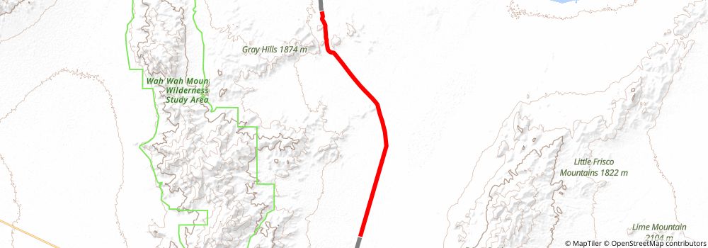
Starting at: Beaver County, 84751
Ending at: Millard County
Distance: 21.2 km
Elevation gain: 161 m
Duration: 04:30:12
stage 327
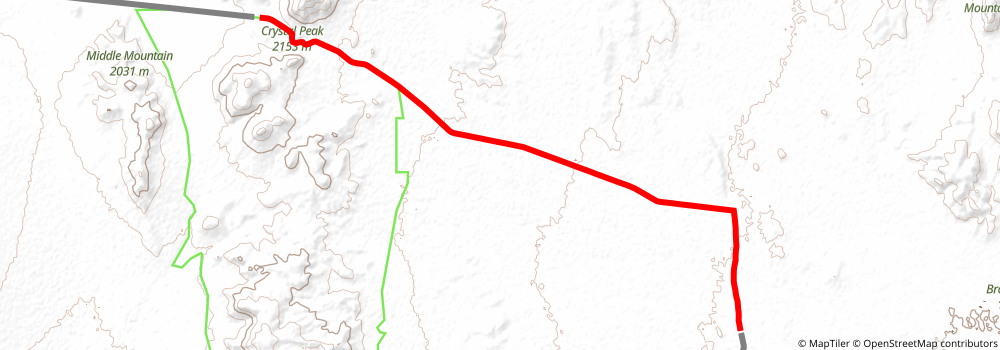
Starting at: Millard County
Ending at: Millard County
Distance: 19.6 km
Elevation gain: 359 m
Duration: 04:31:02
stage 328
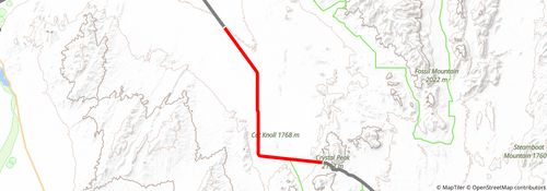
Starting at: Millard County
Ending at: Millard County
Distance: 22.1 km
Elevation gain: 59 m
Duration: 04:31:41
stage 329
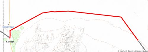
Starting at: Millard County
Ending at: Cedar City, Millard County, 84728
Distance: 30.7 km
Elevation gain: 86 m
Duration: 06:16:49
stage 330
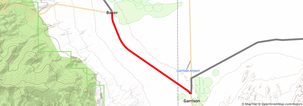
Starting at: Cedar City, Millard County, 84728
Ending at: Baker, White Pine County, 89311
Distance: 11.7 km
Elevation gain: 45 m
Duration: 02:24:28