The best hikes in CAL Fire Siskiyou Unit
California · 35 HiiKER Hikes
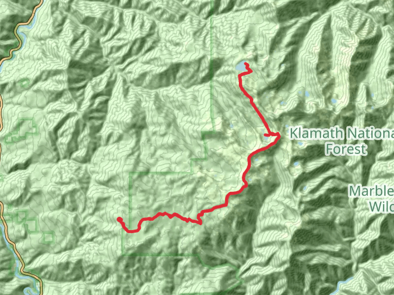
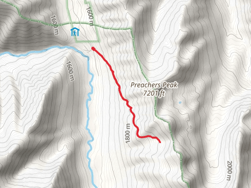
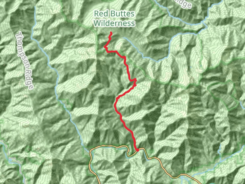
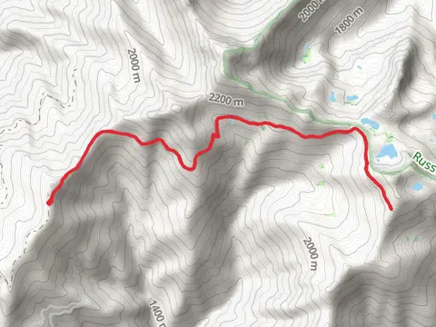
View Hikes on map

What to expect
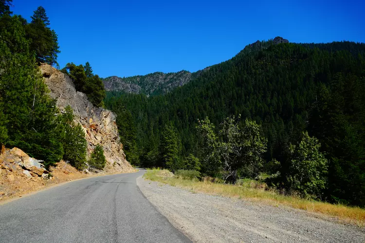
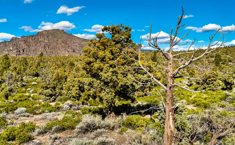
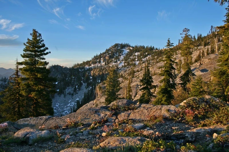
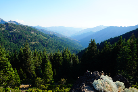
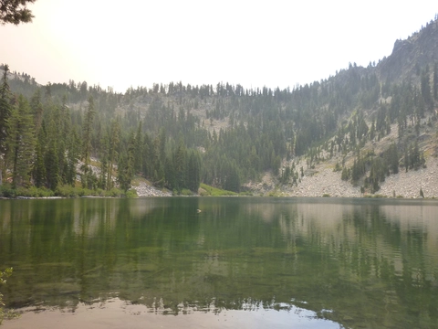
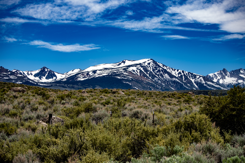
Check out some of the best hiking, walking and backpacking routes in CAL Fire Siskiyou Unit, California. The Yellow Rose Mine Trail is the most popular trail. There are trails of various difficulty levels including easy, medium, difficult, and extra difficult. The trail with the highest elevation climb is the Houston Creek Trail and the trail with the least amount of climbing is the Shoo Fly Trail. The longest trail is the Haypress Trail via Pacific Crest Trail at 48 km. For a shorter adventure you can try the Little Medicine Lake Loop Trail at 1 km. Get off line access to Shop, Campsite, Peak, and Water locations and much more with a Hiiker subscription.

Be prepared for hiking in California with the HiiKER app