Download
3D Flyover
Add to list
More
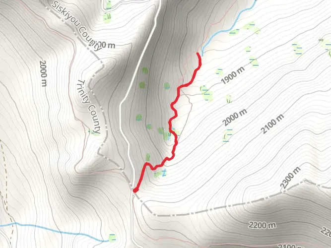
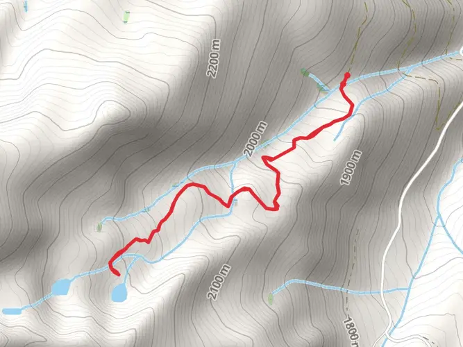
5.4 km
~1 hrs 55 min
505 m
Out and Back
Houston Creek Trail winds through the rugged terrain near the CAL Fire Siskiyou Unit in California, offering hikers a moderately challenging experience. This out-and-back trail stretches approximately 5 kilometers (3.1 miles) and ascends roughly 500 meters (1640 feet), providing a satisfying workout with scenic rewards.
Getting to the Trailhead
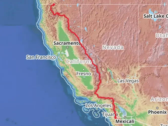
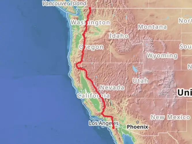
To reach the trailhead, hikers can drive to the vicinity of the CAL Fire Siskiyou Unit, which is the nearest significant landmark. There is no direct public transportation to this location, so a personal vehicle is necessary. Parking is available near the trailhead, and from there, the journey on foot begins.
The Trail Experience
As you set out on the Houston Creek Trail, the path will take you through a diverse landscape of dense forests and open meadows. The trail is well-defined, but it's always wise to have a navigation tool like HiiKER on hand to ensure you stay on the correct path, as there are a few junctions that can be confusing.
The initial section of the trail is relatively flat, allowing hikers to warm up before the ascent begins. After about 0.5 kilometers (0.3 miles), the trail starts to climb steadily. The incline is consistent but not overly steep, making it manageable for hikers with a moderate level of fitness.
Flora and Fauna
As you ascend, keep an eye out for the diverse plant life that thrives in this region. You'll pass through areas dotted with wildflowers in the spring and summer, which attract a variety of pollinators. The forest canopy is home to several bird species, so birdwatchers will want to bring their binoculars.
Wildlife in the area includes deer, squirrels, and the occasional sighting of more elusive creatures such as foxes. Always maintain a safe distance from wildlife and be aware of your surroundings, especially during dawn and dusk when animals are more active.
Historical Significance
The region around Houston Creek Trail is steeped in history, with the Siskiyou area having been inhabited by Native American tribes long before European settlers arrived. The trail itself may not have significant historical landmarks, but the surrounding area was once a part of the early logging and mining industries that shaped Northern California's development.
Preparing for the Hike
Before embarking on the Houston Creek Trail, ensure you have adequate water, as there are no reliable water sources along the route. The elevation gain can be taxing, so bring snacks or energy food to maintain your stamina. The weather can change rapidly, so layered clothing is recommended to adjust to varying temperatures. Lastly, sturdy hiking boots are a must to navigate the rocky and uneven sections of the trail.
Remember to leave no trace, pack out all your garbage, and respect the natural environment to preserve the beauty of the Houston Creek Trail for future hikers.

Comments and Reviews
User comments, reviews and discussions about the Houston Creek Trail, California.
average rating out of 5
0 rating(s)