Download
3D Flyover
Add to list
More
281.4 km
~10 days
721 m
Multi-Day
“Embark on the Oeverloperpad for a scenic Dutch adventure through history, nature, and the ingenuity of water management.”
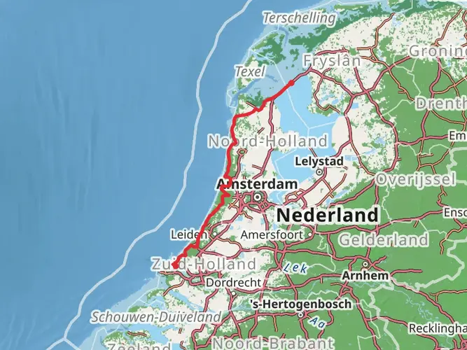
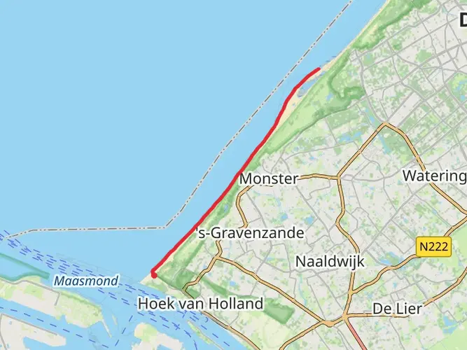
Spanning approximately 281 kilometers (about 175 miles) with an elevation gain of around 700 meters (roughly 2300 feet), the Oeverloperpad is a point-to-point trail that begins near the bustling city of Rotterdam in the Netherlands. This medium-difficulty hike offers a unique blend of urban and natural landscapes, taking you through a region rich in history and natural beauty.
Getting to the Trailhead
To reach the starting point of the Oeverloperpad, hikers can utilize the efficient Dutch public transportation system. From Rotterdam Central Station, you can take a local bus or train to the outskirts of the city where the trail begins. If you're driving, there are parking facilities near the trailhead where you can leave your car.
Navigating the Trail
As you embark on the Oeverloperpad, it's essential to have a reliable navigation tool. HiiKER is an excellent resource for trail maps and navigation, ensuring you stay on the right path throughout your journey.
The Journey Through Nature and History
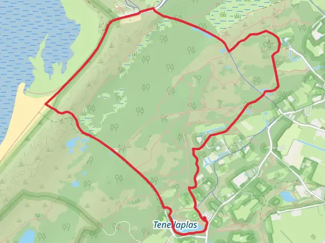
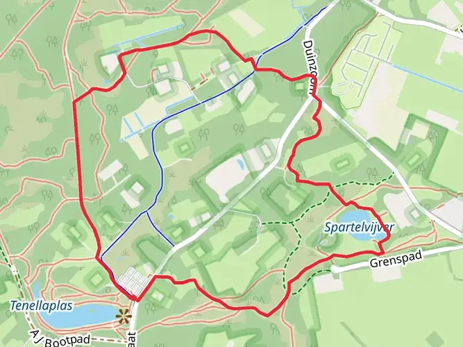
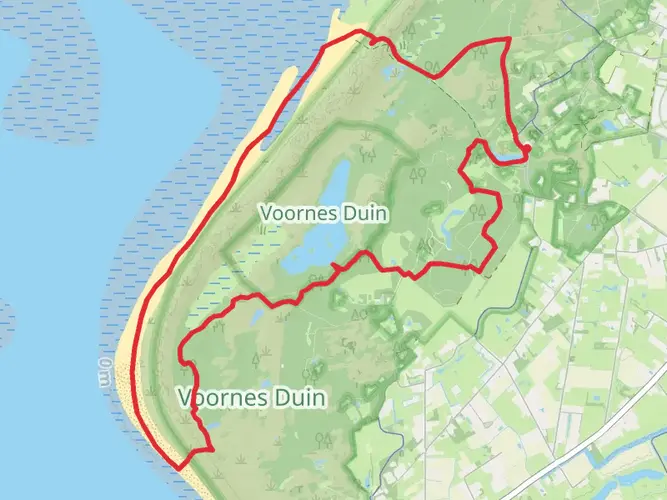
The trail meanders through a diverse landscape, from the modern architecture of Rotterdam to the serene Dutch countryside. You'll pass through polders, dykes, and quaint villages, each with its own story to tell. The trail is not only a physical journey but also a historical one, as the region has been shaped by centuries of human interaction with water and land.
Landmarks and Wildlife
One of the significant landmarks along the Oeverloperpad is the UNESCO World Heritage site of Kinderdijk, located roughly 15 kilometers (about 9 miles) from the trailhead. Here, you can marvel at a network of 19 windmills that date back to the 18th century, showcasing the Dutch mastery of water management.
As you continue, the trail will take you through the Biesbosch National Park, a freshwater tidal wetland that is one of the largest of its kind in Europe. This area, approximately 60 kilometers (about 37 miles) into the hike, is a haven for birdwatchers and nature enthusiasts, with a chance to spot eagles, beavers, and a myriad of waterfowl.
Terrain and Difficulty
The terrain of the Oeverloperpad is generally flat, as is typical of the Dutch landscape, but the distance itself presents a moderate challenge. The trail is well-marked and maintained, making it accessible for hikers with a reasonable level of fitness. The elevation gain is gradual and spread out over the length of the trail, so it won't be too taxing on the legs.
Preparation and Planning
When planning for the Oeverloperpad, it's crucial to consider the time of year, as the Netherlands can have variable weather. Waterproof gear and layers are recommended. Additionally, ensure you have adequate food and water supplies, although there are numerous opportunities to restock at the villages along the route.
Cultural and Historical Significance
The trail not only offers natural wonders but also provides a glimpse into the cultural heritage of the Netherlands. The path takes you through historical towns where you can experience traditional Dutch culture, sample local cuisine, and learn about the region's history of land reclamation and water management.
Conclusion
The Oeverloperpad is a journey that offers a unique perspective on the Netherlands, blending urban and rural landscapes, history, and nature. Whether you're a seasoned hiker or someone looking to explore the Dutch countryside, this trail provides an enriching experience that goes beyond the typical tourist path.

Frequently asked questions
How long is the Oeverloperpad and how many days does the Oeverloperpad usually take?
The Oeverloperpad is 281.38 km long with 721 m of total ascent, so it is a true long-distance walk rather than a day hike. A typical through-hike is about 13 days at a moderate pace, which works out to roughly 20 to 25 km per day depending on stage planning and overnight stops.
Is the Oeverloperpad difficult, or is the Oeverloperpad suitable for beginner long-distance hikers?
The Oeverloperpad is rated easy, and the elevation gain is modest for its length at 721 m across 281.38 km. That makes it more approachable than many multi-day routes, although the overall distance still requires solid day-after-day stamina, especially when walking consecutive stages.
Where does the Oeverloperpad start near Rotterdam, and can the Oeverloperpad be reached by public transport?
The Oeverloperpad begins near Rotterdam and is practical to reach by Dutch public transportation from Rotterdam Centraal. Local train, metro, and bus connections make it possible to get to the city-edge start area without a car, which is useful for a point-to-point route that does not return to the same trailhead.
Is there parking for the Oeverloperpad near Rotterdam if starting the Oeverloperpad by car?
Parking is available in and around Rotterdam, including Park+Ride facilities that are designed for onward travel by public transport into the city. That setup can work well for an Oeverloperpad start, especially because the route is point-to-point and finishing walkers often need a practical way to connect back by rail or transit.
What kind of trail is the Oeverloperpad and does the Oeverloperpad have stages?
The Oeverloperpad is a point-to-point multi-day trail rather than a loop, so it is best planned in stages. Its full length of 281.38 km naturally breaks into daily sections, and most walkers tackle it as a series of consecutive or separate stage hikes rather than in one continuous push.
How much climbing is there on the Oeverloperpad compared with its total distance?
The Oeverloperpad has 721 m of ascent over 281.38 km, which is relatively little climbing for a route of this length. In practical terms, the challenge comes more from covering long daily distances than from steep mountain-style elevation, which fits the easy difficulty rating.
Comments and Reviews
User comments, reviews and discussions about the Oeverloperpad, Netherlands.
4.38
average rating out of 5
8 rating(s)