Download
3D Flyover
Add to list
More
330.3 km
~12 days
1062 m
Multi-Day
“Embark on the Romeinse Limespad, a scenic trek through Dutch history and nature along Rome's ancient northern border.”
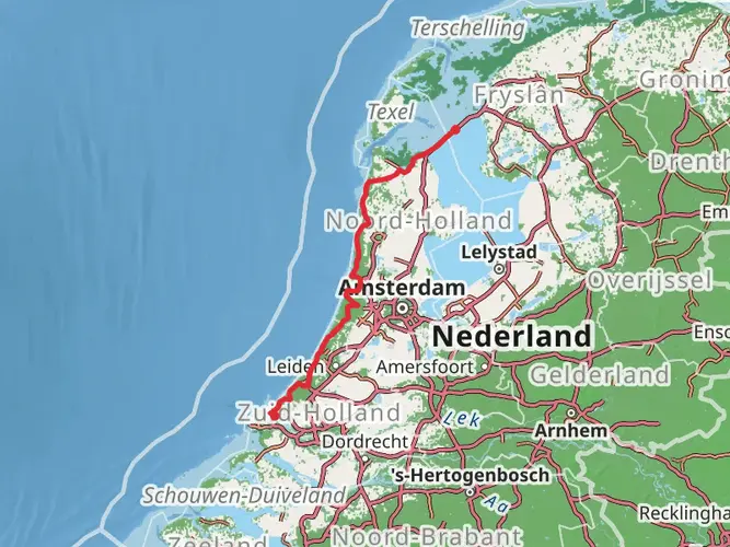
The Romeinse Limespad, stretching approximately 330 kilometers (about 205 miles) with an elevation gain of around 1000 meters (3280 feet), is a historical journey that traces the ancient northern frontier of the Roman Empire, known as the Limes Germanicus, through the Netherlands. Starting near Katwijk, where the Old Rhine River flows into the North Sea, hikers embark on a point-to-point trail that is steeped in history and rich in natural beauty.
Getting to the Trailhead
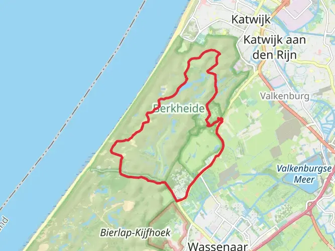
To reach the starting point of the Romeinse Limespad, hikers can utilize public transportation by taking a bus to Katwijk aan Zee, which is the nearest town to the trailhead. For those driving, parking is available in the area. The trail begins close to the point where the Old Rhine River historically met the sea, although the river's course has since changed.
Historical Significance and Landmarks
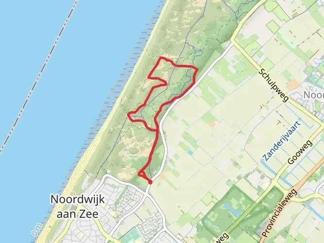
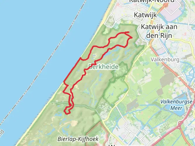
As you set out from Katwijk, the trail immediately immerses you in the region's history. The path follows the route of the Roman Empire's northernmost border, marked by remnants of forts, watchtowers, and castella. Hikers will encounter archaeological sites and museums along the way, such as the Roman Castellum in Valkenburg, approximately 5 kilometers (3.1 miles) from the start, which offers a glimpse into the lives of Roman soldiers stationed there.
Further along, around 25 kilometers (15.5 miles) into the hike, the city of Leiden presents an opportunity to explore its rich cultural heritage, including the ancient Roman history at the Rijksmuseum van Oudheden.
Nature and Wildlife
The Romeinse Limespad is not only a historical adventure but also a showcase of the Netherlands' diverse landscapes. The trail meanders through polders, woodlands, and traditional Dutch countryside. Hikers can enjoy the tranquility of nature reserves such as the Nieuwkoopse Plassen, a wetland area teeming with birdlife, located roughly 60 kilometers (37 miles) into the hike.
Trail Navigation and Preparation
Navigating the Romeinse Limespad is made easier with the HiiKER app, which provides detailed maps and waypoints. Hikers should prepare for a variety of weather conditions and pack accordingly, as the Netherlands can experience rain and wind even during the summer months. It's also advisable to carry enough water and snacks, although there are plenty of towns and villages along the route for resupply.
Given the trail's moderate difficulty rating, it's suitable for hikers with some experience. The elevation gain is gradual, and the terrain is mostly flat, but the distance itself can be challenging. It's recommended to plan for multiple days of hiking to fully appreciate the trail's offerings, with accommodations ranging from campsites to guesthouses available along the way.
Conclusion
The Romeinse Limespad is a unique trail that offers a blend of historical exploration and natural beauty. It's a journey through time, where each step brings you closer to understanding the might and reach of the ancient Roman Empire, all while being surrounded by the picturesque landscapes of the Netherlands. Whether you're a history buff, a nature lover, or simply seeking a long-distance hiking challenge, this trail promises an enriching experience.

Frequently asked questions
What is the Romeinse Limespad and where does the Romeinse Limespad go?
The Romeinse Limespad is a long-distance walking route in the Netherlands that follows the line of the old Roman frontier, the Lower Germanic Limes. The route starts at Katwijk on the North Sea and runs east through places including Leiden, Woerden, Utrecht and Nijmegen, finishing in Berg en Dal on the Duivelsberg.
How long is the Romeinse Limespad?
The Romeinse Limespad on this page is 330.31 km long with 1,062 m of total elevation gain, so it is a substantial multi-day walk rather than a short heritage trail. The route is generally considered easy, with the challenge coming more from its length and the number of stages than from steep climbing.
Where does the first stage of the Romeinse Limespad start in Katwijk?
The Romeinse Limespad begins in Katwijk near the coast, at the point where the Old Rhine historically reached the North Sea. Katwijk aan Zee is the practical starting area, and the opening section heads inland toward Valkenburg, where Roman-era sites linked to the frontier can still be visited.
How is the Romeinse Limespad divided into stages?
The Romeinse Limespad is commonly walked in stages rather than as one continuous trip. The official long-distance route is divided into 45 stages, and there is also an approach route from Voorburg that joins the main line near Leiden, making it possible to plan shorter sections around rail and bus access.
Is the Romeinse Limespad difficult?
The Romeinse Limespad is rated easy overall. Across 330.31 km the total ascent is only 1,062 m, which is low for a route of this length, so most days are more about steady mileage on flat to gently rolling terrain than about sustained climbs.
Can the Romeinse Limespad be walked with maps or GPX navigation?
Yes. The Romeinse Limespad is a waymarked long-distance trail, and it is also commonly followed with digital mapping or GPX navigation for stage-by-stage planning. That is especially useful on a route of more than 330 km, where many walkers break the trail into separate days between towns such as Katwijk, Leiden, Woerden, Utrecht and Nijmegen.
Are there route changes on the Romeinse Limespad?
Route changes can happen on the Romeinse Limespad, and the trail was reported as fully reconstructed in 2024. On a long route crossing multiple provinces and urban areas, temporary diversions, updated alignments and revised stage details are possible, so current navigation should always match the latest marked line on the ground.
Comments and Reviews
User comments, reviews and discussions about the Romeinse Limespad, Netherlands.
5.0
average rating out of 5
3 rating(s)