Download
3D Flyover
Add to list
More
14.3 km
~2 hrs 53 min
20 m
Loop
“Wander through whispering dunes and sun-dappled forests, where nature’s wonders and history quietly intertwine.”
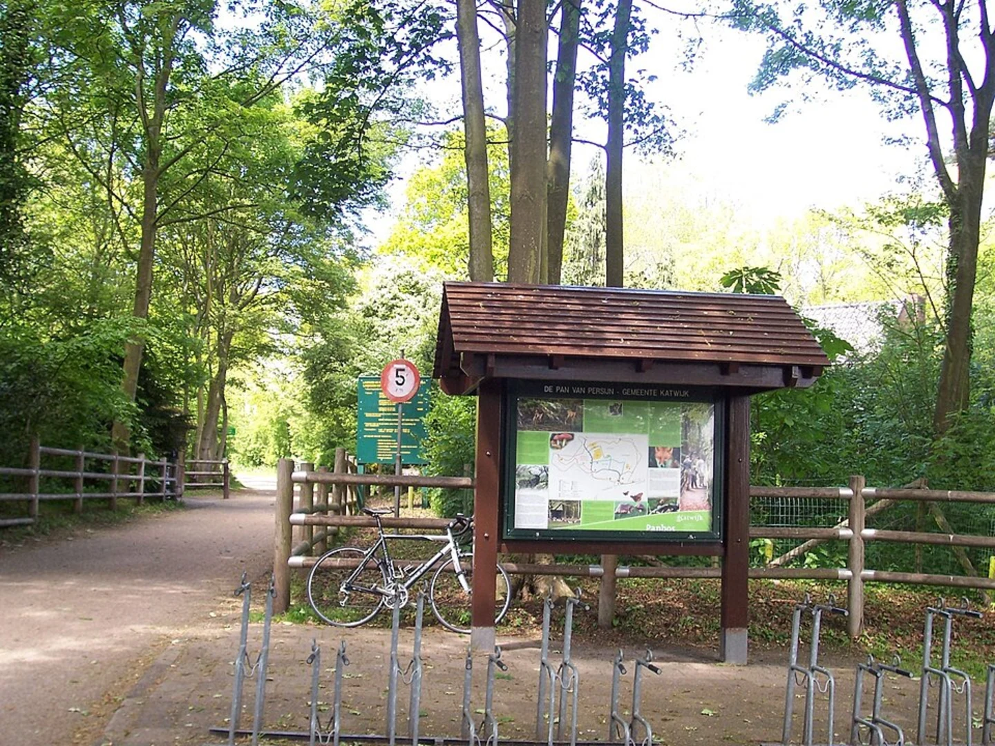
Starting from the leafy outskirts of Wassenaar, this 14 km (about 8.7 miles) loop trail offers a gentle, flat walk with virtually no elevation gain, making it accessible for most hikers. The trailhead is conveniently located near the entrance to Meijendel, a well-known dune and nature reserve area just north of The Hague, with the nearest significant landmark being the Meijendel Visitor Centre (Meijendelseweg 40, 2243 GN Wassenaar). This spot is easily reached by car, with ample parking available, or by public transport: take a train to The Hague Central Station, then bus 43 or 44 towards Wassenaar, alighting at the “De Kieviet” stop, from where it’s a short walk to the reserve.
Trail Overview and Navigation
The route weaves through a mosaic of landscapes, including the Knolletjesdel and Meyvogele Del dune valleys, the tranquil Nieuwe Plas lake, and stretches of the Wassenaarse Weg. The terrain is predominantly sandy paths and forest tracks, with occasional boardwalks over wetter ground. Navigation is straightforward, but for those wanting extra assurance, the entire route is mapped on HiiKER, which is recommended for real-time tracking and wayfinding.
Nature and Wildlife
This area is part of the larger Hollandse Duinen National Park, renowned for its biodiversity. Expect to encounter a variety of habitats: open dunes, dense pine and oak woods, and freshwater lakes. Birdlife is abundant, especially around Nieuwe Plas, where you might spot herons, cormorants, and, in spring and autumn, migratory waterfowl. The Meyvogele Del is particularly rich in songbirds and, with luck, you may glimpse roe deer or foxes in the quieter stretches. The dunes are also home to rare plants such as sea holly and dune pansy.
Landmarks and Points of Interest
- Knolletjesdel: This dune valley is a highlight early in the walk, with sweeping views across undulating sand and grassland. The area is dotted with juniper bushes and is especially beautiful in late summer when the heather blooms.
- Nieuwe Plas: Roughly halfway (about 7 km/4.3 miles in), the trail skirts the edge of this serene lake. There are benches for a rest and birdwatching opportunities. Swimming is not permitted, as this is a protected water catchment area.
- Wassenaarse Weg: The final section follows this historic route, once a key thoroughfare between The Hague and the coast. Along the way, you’ll pass remnants of WWII bunkers, a reminder of the region’s strategic importance during the Atlantic Wall fortifications.
Historical Significance
The Meijendel dunes have been a vital source of drinking water for The Hague since the 19th century, and you’ll notice waterworks infrastructure discreetly integrated into the landscape. The area also played a role during WWII, with bunkers and anti-tank defenses still visible in places. The combination of natural beauty and historical layers makes this hike especially rewarding for those interested in both ecology and history.
Practical Tips
There are several well-maintained rest areas and a café at the Meijendel Visitor Centre, which is a good spot to start or end your hike. Toilets and water refill points are available here. Dogs are allowed on leash in most areas, but check local signage for restrictions, especially in wildlife-sensitive zones. The sandy paths can be soft after rain, so sturdy walking shoes are recommended. The route is open year-round, but spring and early autumn offer the best conditions for wildlife viewing and mild weather.
For detailed mapping and live navigation, use HiiKER, which provides up-to-date trail information and offline maps for this route.

Surfaces
Unknown
Asphalt
Sand
Gravel
Comments and Reviews
User comments, reviews and discussions about the Knolletjesdel, meyvogele del, Nieuwe Plas and Wassenaarse Weg, Netherlands.
average rating out of 5
0 rating(s)