Download
3D Flyover
Add to list
More
Trail length
10.0 km
Time
~3 hrs
Elevation Gain
605 m
Hike Type
Loop
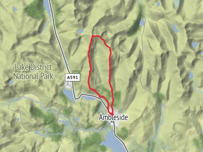
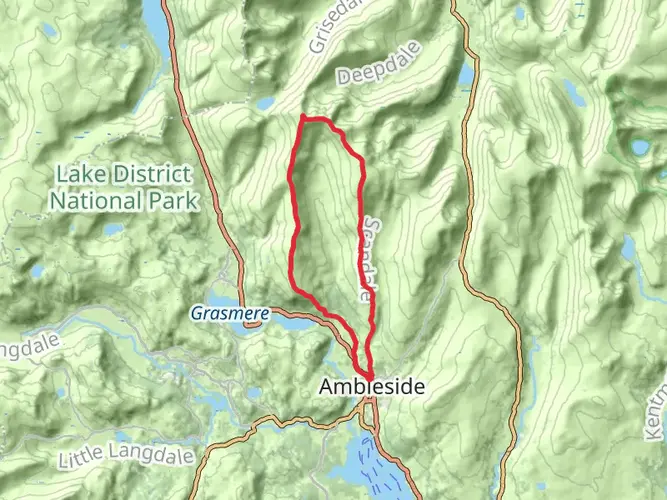
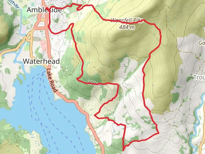
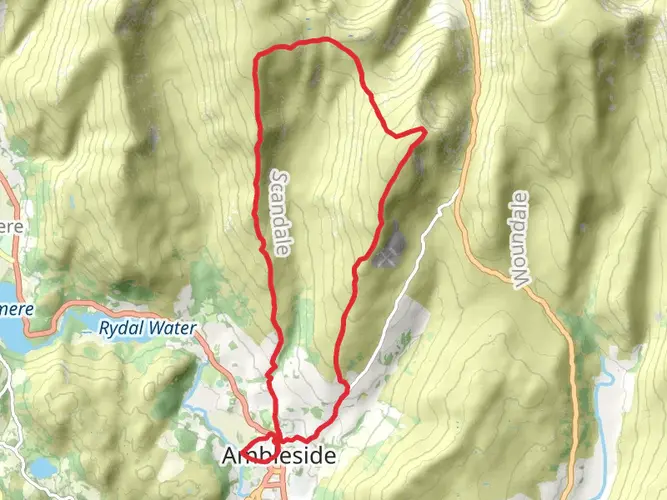
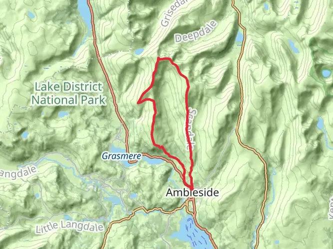
This easy circular hike from Westmorland and Furness covers about 6.2 miles with roughly 2,040 ft of ascent and descent. Expect gentle but steady climbs and rewarding viewpoints over the surrounding Cumbrian countryside. The route starts and ends near the same point, making logistics simple, and is ideal for half a day outdoors with time to enjoy the scenery and take breaks along the way.
Created by
Tallboy68

What to expect?
Surfaces
Ground
Unknown
Asphalt
Gravel
Comments and Reviews
User comments, reviews and discussions about the Ambleside to High Pike, England.
average rating out of 5
0 rating(s)