Download
3D Flyover
Add to list
More
163.6 km
12 days
10268 m
Multi Day
“A vast Lakeland circuit of high ridges and famous summits.”
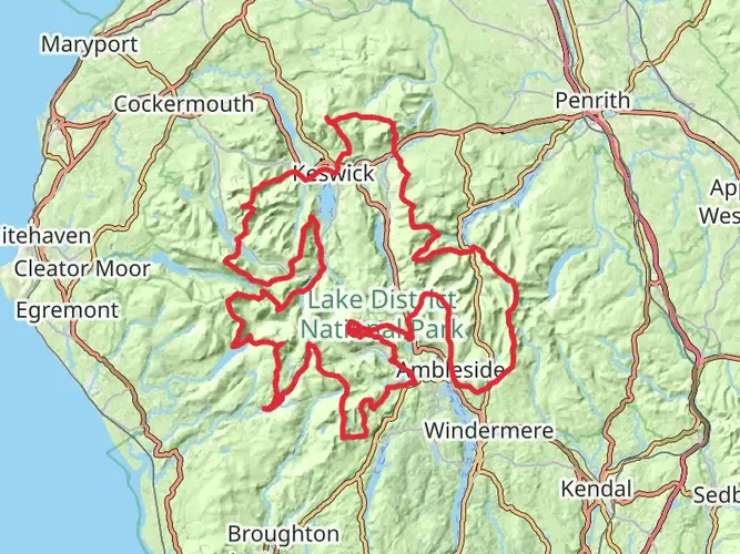
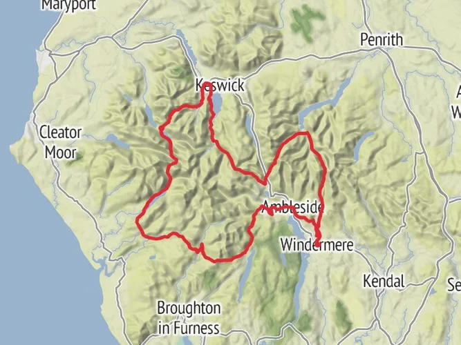
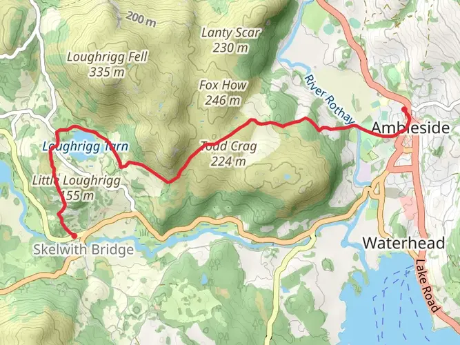
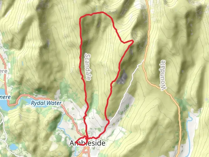
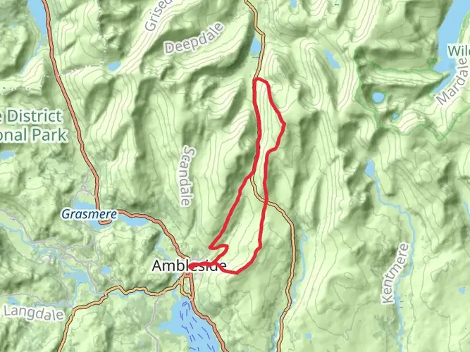
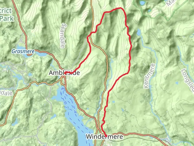
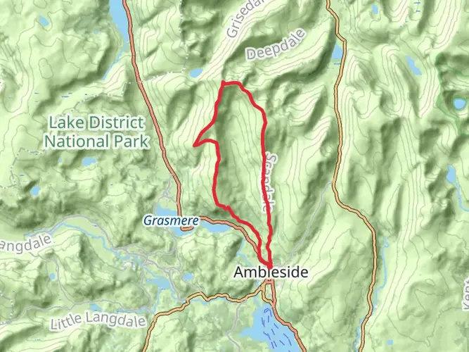
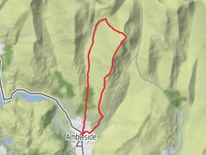
This is a huge 12-day mountain circuit from Ambleside that links long ridge traverses, major Lakeland summits and broad stretches of open fell. At 163.6 km / 101.6 mi with 10,268 m / 33,688 ft of climbing, it is a serious expedition-grade outing with sustained ascent and descent, a highest point of 977 m / 3,207 ft, and very little margin for underestimating the effort. The route begins and ends in Ambleside, building quickly onto the fells and then ranging across some of the grandest high ground in the Lake District.
The route
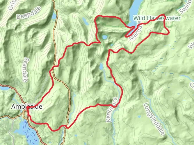
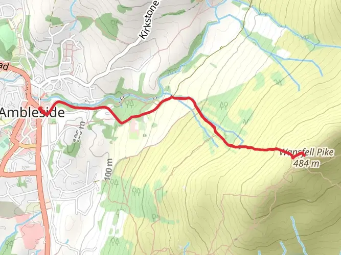
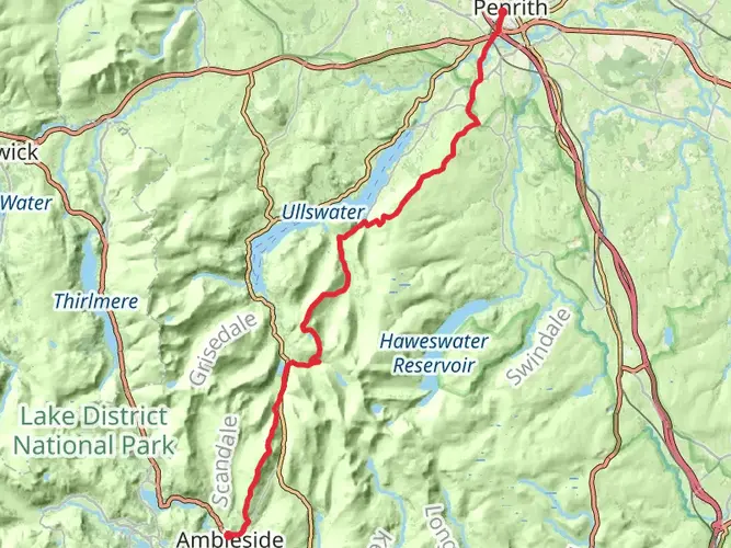
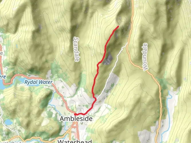
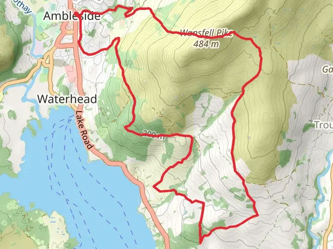
The circuit opens with a steep start over Wansfell Pike before heading onto the High Street range, taking in Yoke, Ill Bell, Froswick and High Street itself. Later sections continue the high-level theme with a run over Fairfield, Dollywaggon Pike, Nethermost Pike and Helvellyn, then onward across more exposed fell country before the loop eventually returns to Ambleside. Daily distances vary from 4.6 km / 2.9 mi to 20.4 km / 12.7 mi, but even the shorter stages can include substantial climbing, with several days gaining well over 1,000 m / 3,281 ft.
This is not a gentle valley walk stitched together over many days. It is a demanding round of ridges, cols and summit plateaus where progress can be slow, especially in mist, wind or wet underfoot conditions. The route surface mix includes gravel, grass and other unpaved ground, so walkers should expect rough mountain paths, stony sections and softer fell terrain rather than consistently engineered trails.
Terrain and difficulty
The overall grade is Extra Difficult, and that fits the scale of the undertaking. The combination of distance, repeated steep ascents, high exposure and cumulative fatigue makes this a route for experienced mountain walkers who are comfortable managing long days for nearly two weeks. Strong navigation matters, particularly on broad tops and in poor visibility, and the high ground can feel committing when the weather closes in.
Although the route includes some lower and shorter days, they function more as transitions than easy recovery walks. Careful pacing, food planning and stage-by-stage preparation are essential, especially because the total descent, at 10,453 m / 34,295 ft, is even greater than the ascent and can be just as punishing on tired legs.
Getting there
Ambleside is one of the best connected bases in the Lake District and works well for a linear arrival and return to the same trailhead. Windermere is the nearest rail station, and buses connect Windermere with Ambleside. Ambleside Bus Station also has direct bus links with places including Keswick, Grasmere, Coniston, Bowness, Kendal and Lancaster, which makes it practical to reach the start without a car or to adjust plans around individual stages if needed. Parking and traffic can be busy in the central Lakes, so public transport is often the simpler option for a long circuit like this.
History and landscape
One of the defining threads of the early route is the crossing of the High Street range, where the old Roman road between Ambleside and the Penrith area ran over the fells. This is one of the most striking historic landscapes in the Lake District, with a high, open character that still shapes the feel of the walk today.
The wider journey moves through classic Lake District scenery of steep-sided valleys, rocky summits, tarns, becks and long views over surrounding ridges. Around Ambleside and Windermere the landscape is also one of the best connected parts of the national park, where access routes, settlements and mountain terrain meet closely.
Camping and preparation
Camping is possible on this route, but it needs a careful and respectful approach. In the Lake District, wild camping is not permitted without the landowner’s permission, though discreet backpacking camps are traditionally tolerated in the high fells when they are well away from towns, villages and lake shores, kept to a single night, and leave no trace. Camping in car parks or roadside verges is not allowed, and fires and barbecues are not permitted in the national park unless on private land.
For a route of this scale, walkers should plan each stage in detail on HiiKER, carry kit for prolonged mountain weather, and be ready for long stretches on exposed ground. Dogs should be kept on leads where there is livestock, and extra care is needed to protect paths, water and the fragile fell environment over the course of a multi-day trip.
Note - The sharp-edges make this route extremely challenging, and scrambling is required to navigate certain sections.
AI Planner
Days planned around your pace, with somewhere to stay each night.

What to expect?
Activity types
Surfaces
Unknown
Gravel
Grass
Unpaved
Asphalt
Ground
Dirt
Wood
Concrete
Paved
Comments and Reviews
User comments, reviews and discussions about the Cumbrian Classic Trident via Sharp Edge from Ambleside, England.
4.0
average rating out of 5
4 rating(s)