Download
Preview
Add to list
More
8.0 km
~2 hrs 17 min
417 m
Point-to-Point
“Explore scenic beauty, historical landmarks, and diverse wildlife on the rewarding Ambleside to Loughrigg Tarn Loop.”
Starting near the charming town of Ambleside in Westmorland and Furness, England, the Ambleside to Loughrigg Tarn Loop is a delightful 8 km (approximately 5 miles) point-to-point trail with an elevation gain of around 400 meters (about 1,312 feet). This medium-difficulty hike offers a mix of scenic beauty, historical landmarks, and diverse wildlife, making it a rewarding experience for hikers of all levels.
Getting There
To reach the trailhead, you can either drive or use public transport. If driving, Ambleside is well-connected via the A591 road. There are several parking options in Ambleside, including the Rydal Road Car Park and the Lake Road Car Park. For those using public transport, Ambleside is accessible by bus from major towns like Windermere, which has a train station connecting to larger cities such as Manchester and London. The nearest bus stop to the trailhead is at Kelsick Road, Ambleside.
Trail Overview
The trail begins in Ambleside, a picturesque town known for its stone buildings and vibrant local culture. As you start your hike, you'll pass through the town's charming streets before heading into the countryside. The initial part of the trail is relatively gentle, allowing you to warm up as you make your way towards the first significant landmark, Rydal Hall.
Rydal Hall and Rydal Mount
Approximately 2 km (1.2 miles) into the hike, you'll reach Rydal Hall, a historic estate with beautifully landscaped gardens and a cascading waterfall. Nearby is Rydal Mount, the former home of the famous poet William Wordsworth. The area is steeped in literary history, and you might want to take a short detour to explore the house and gardens, which are open to the public.
Ascending Loughrigg Fell
Continuing on, the trail begins to ascend Loughrigg Fell. This section is more challenging, with a steady climb that will test your endurance. The ascent offers stunning views of the surrounding fells and lakes, including Windermere and Grasmere. Keep an eye out for local wildlife such as red squirrels, deer, and a variety of bird species.
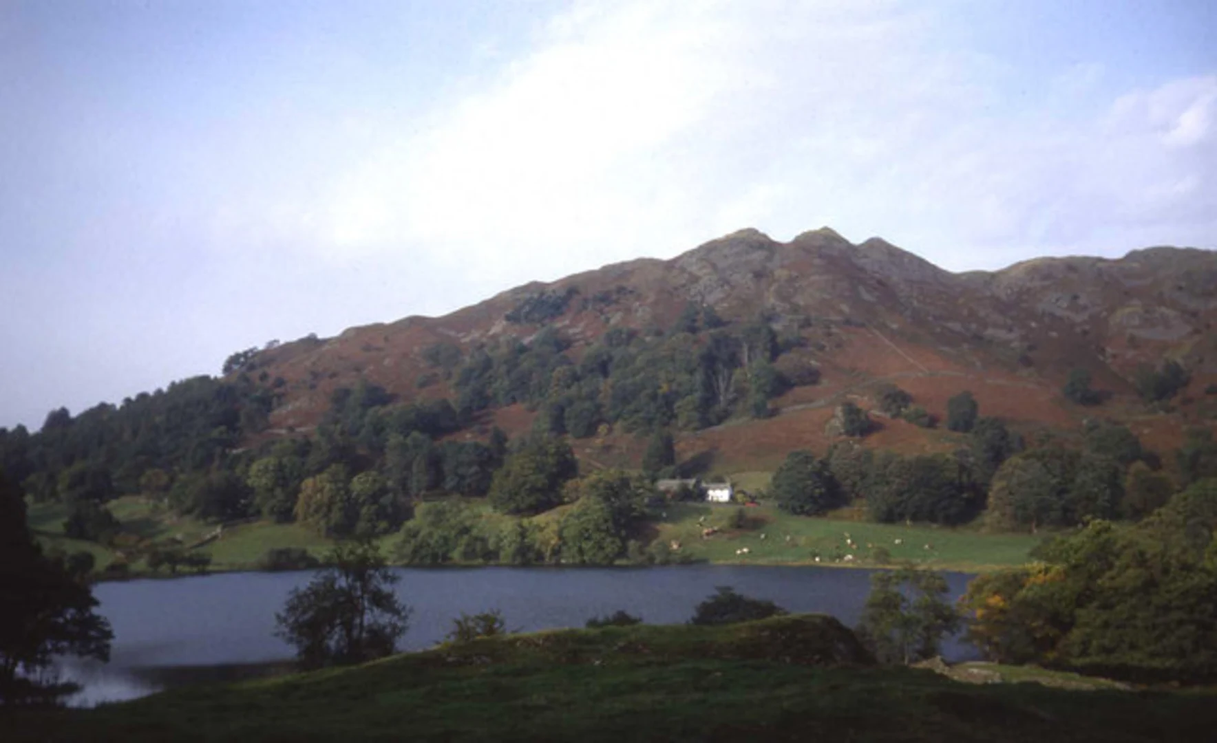
Loughrigg Tarn
At around the 5 km (3.1 miles) mark, you'll reach Loughrigg Tarn, a serene and picturesque lake surrounded by lush greenery. This is an ideal spot to take a break, enjoy a picnic, and soak in the tranquil atmosphere. The tarn is also a great place for photography, with its mirror-like waters reflecting the surrounding hills.
Descending Back to Ambleside
The final stretch of the hike involves descending back towards Ambleside. The descent is less strenuous but requires careful footing, especially if the ground is wet. As you make your way down, you'll pass through woodlands and open fields, offering a different perspective of the landscape you traversed earlier.
Navigation and Safety
Given the varied terrain and elevation changes, it's advisable to use a reliable navigation tool like HiiKER to stay on track. The trail is well-marked, but having a digital map can provide additional assurance. Wear sturdy hiking boots, carry sufficient water, and be prepared for changing weather conditions, as the Lake District is known for its unpredictable climate.
Historical Significance
The region around Ambleside is rich in history, from its Roman roots to its literary connections. Ambleside itself was once a Roman fort town, and remnants of this history can still be seen today. The influence of poets like Wordsworth has left an indelible mark on the area, making it a cultural as well as a natural treasure.
This hike offers a perfect blend of natural beauty, historical intrigue, and physical challenge, making it a must-do for anyone visiting the Lake District.

What to expect?
Activity types
Comments and Reviews
User comments, reviews and discussions about the Ambleside to Loughrigg Tarn Loop, England.
4.75
average rating out of 5
4 rating(s)