Download
3D Flyover
Add to list
More
Trail length
16.6 km
Time
~4 hrs 52 min
Elevation Gain
939 m
Hike Type
Point to Point
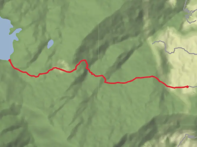
A medium‑difficulty route starting near Lingzhi (27.861078, 89.438558) and ending close to 27.780395, 89.341712. The hike is about 16.6 km long with roughly 939 m of elevation gain and loss, offering steady climbs and descents without being extreme. Expect about 5 hours on the trail, with expansive high‑valley views and a sense of remoteness typical of the Bhutanese Himalaya, suitable for fit hikers seeking a solid day outing.
Created by
Vampire
AI Planner
Days planned around your pace, with somewhere to stay each night.

Surfaces
Unpaved
Unknown
Comments and Reviews
User comments, reviews and discussions about the Jhomolhari base - Lingzhi, Bhutan.
average rating out of 5
0 rating(s)