Download
3D Flyover
Add to list
More
Trail length
7.5 km
Time
~3 hrs 43 min
Elevation Gain
1342 m
Hike Type
Point to Point
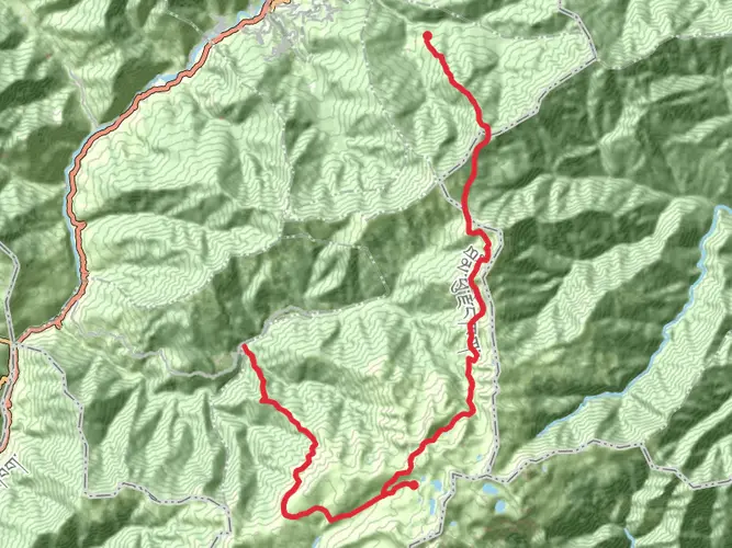
A demanding 7.45 km route climbing about 1,343 m from the outskirts of Thimphu, this hike is best suited for very fit and experienced hikers. The trail quickly leaves the valley floor, offering expansive views over Thimphu and surrounding forested hills, with only minimal descent. Expect long, steep sections and thin mountain air as you approach the ridge near the endpoint, but enjoy the rewarding panoramas along the way.
Created by
Vampire

Surfaces
Unpaved
Unknown
Asphalt
Comments and Reviews
User comments, reviews and discussions about the Sangaygang-Phajoding Top, Bhutan.
average rating out of 5
0 rating(s)