Download
3D Flyover
Add to list
More
Trail length
26.1 km
Time
~7 hrs 27 min
Elevation Gain
1344 m
Hike Type
Point to Point
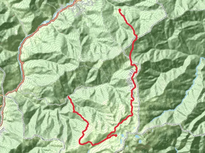
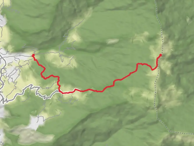
This medium 26.1 km route from Chuyul (27.613802, 89.272093) climbs steadily through high Himalayan terrain, gaining about 1,344 m with only 179 m of descent. Expect long, continuous uphill sections over 7.5 hours, with thinning forests and expanding valley views as you approach the endpoint near 27.781285, 89.341604. Suitable for fit hikers used to altitude, it rewards with quiet trails and broad mountain scenery.
Created by
Vampire
AI Planner
Days planned around your pace, with somewhere to stay each night.

Surfaces
Unpaved
Unknown
Comments and Reviews
User comments, reviews and discussions about the Shana-Jhomolhari Base, Bhutan.
average rating out of 5
0 rating(s)