Download
Preview
Add to list
More
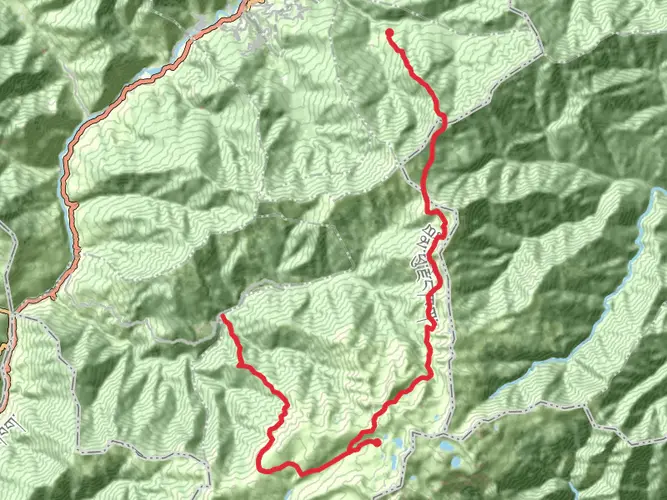
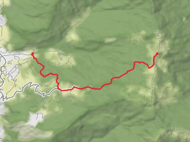
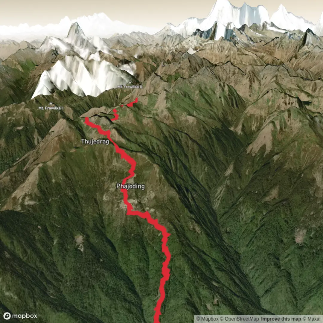
Trail length
12.6 km
Time
~5 hrs 11 min
Elevation Gain
1601 m
Hike Type
Point-to-Point
Challenging 12.6 km route starting near Thimphu (27.478856, 89.596885) and ending close to 27.531915, 89.531776. Expect a very steep climb with about 1,606 m of elevation gain and minimal descent, making this an extra difficult, mostly uphill effort. In around 5 hours you’ll pass through high forested slopes and ridges with expanding views over the Thimphu valley and surrounding Himalayan foothills.
Created by
Vampire

Surfaces
Unknown
Unpaved
Comments and Reviews
User comments, reviews and discussions about the Motithang-Dungtsho, Bhutan.
average rating out of 5
0 rating(s)