Ice Age National Scenic Trail trail stages
stage 1
stage 2
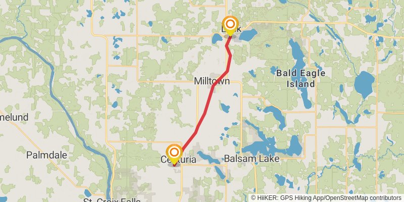
Starting at: Centuria, Polk County, 54824
Ending at: Luck, Polk County, 54853
Distance: 15.5 km
Elevation gain: 43 m
Duration: 03:09:40
stage 3
stage 4
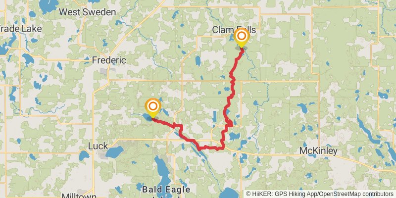
Starting at: Straight River, Bone Lake, Polk County, 54853
Ending at: Frederic, Polk County, 54837
Distance: 26.6 km
Elevation gain: 550 m
Duration: 06:13:40
stage 5
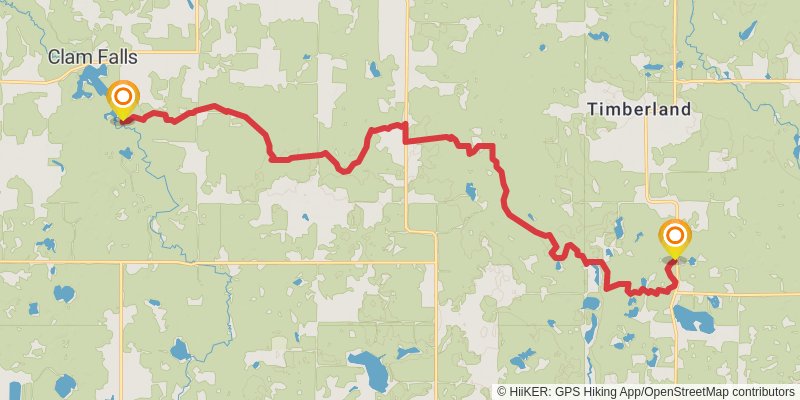
Starting at: Clam River, Clam Falls, Polk County, 54837
Ending at: Maple Plain, Barron County, 54829
Distance: 22.9 km
Elevation gain: 435 m
Duration: 05:18:44
stage 6
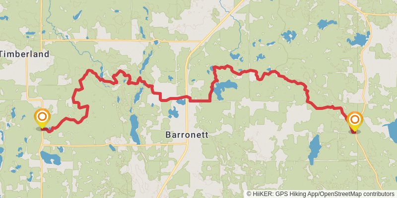
Starting at: Maple Plain, Barron County, 54813
Ending at: Barronett, Barron County, 54813
Distance: 30.0 km
Elevation gain: 443 m
Duration: 06:44:12
stage 7
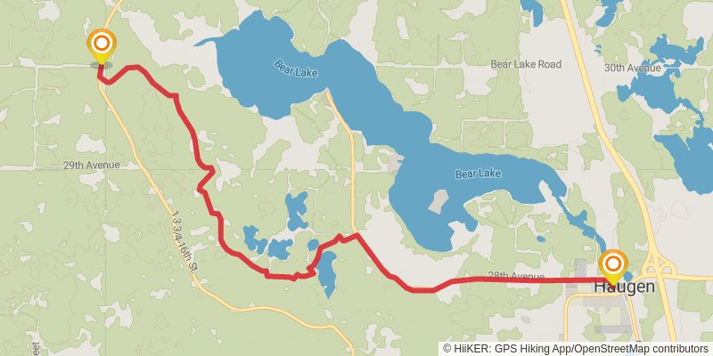
Starting at: Sarona, Barron County, 54870
Ending at: Haugen, Barron County, 54868
Distance: 11.5 km
Elevation gain: 87 m
Duration: 02:26:16
stage 8
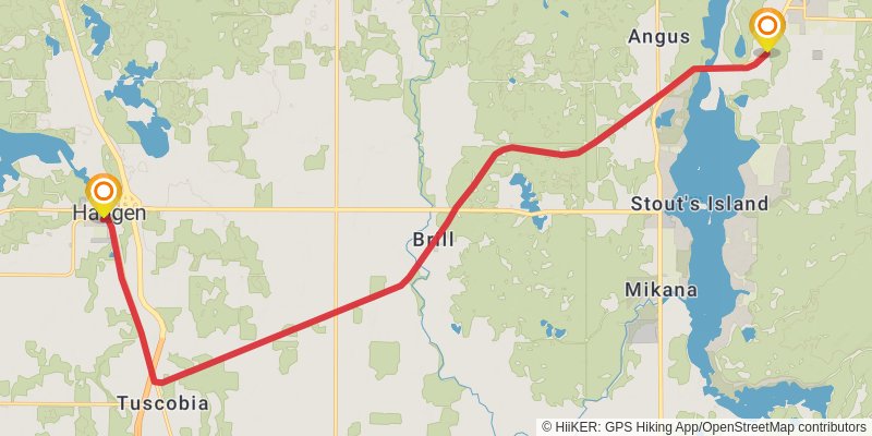
Starting at: Haugen, Barron County, 54841
Ending at: Birchwood, Washburn County, 54817
Distance: 22.4 km
Elevation gain: 119 m
Duration: 04:41:13
stage 9
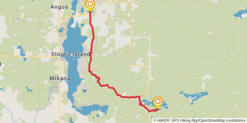
Starting at: Birchwood, Washburn County, 54817
Ending at: Birchwood, Rusk County, 54817
Distance: 15.0 km
Elevation gain: 211 m
Duration: 03:20:37
stage 10
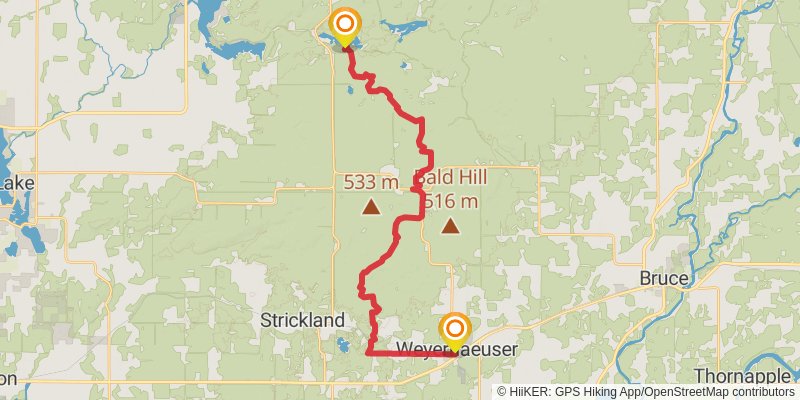
Starting at: Weyerhaeuser, Rusk County, 54895
Ending at: Weyerhaeuser, Rusk County, 54895
Distance: 31.3 km
Elevation gain: 574 m
Duration: 07:12:49
stage 11
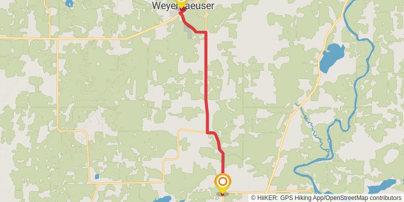
Starting at: Weyerhaeuser, Rusk County, 54895
Ending at: Weyerhaeuser, Rusk County, 54895
Distance: 11.5 km
Elevation gain: 61 m
Duration: 02:24:02
stage 12
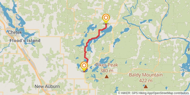
Starting at: Island Lake, Weyerhaeuser, Rusk County, 54895
Ending at: Sampson, Chippewa County, 54757
Distance: 15.2 km
Elevation gain: 117 m
Duration: 03:13:48
stage 13
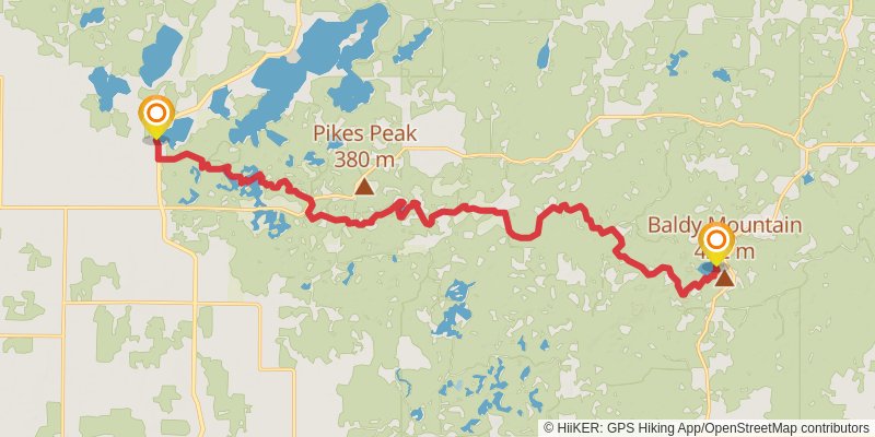
Starting at: Sampson, Chippewa County, 54757
Ending at: Birch Creek, Chippewa County, 54732
Distance: 21.9 km
Elevation gain: 615 m
Duration: 05:23:52
stage 14
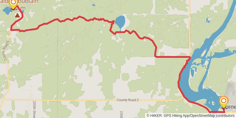
Starting at: Cornell, Chippewa County, 54732
Ending at: Cornell, Chippewa County, 54732
Distance: 16.6 km
Elevation gain: 206 m
Duration: 03:40:15
stage 15
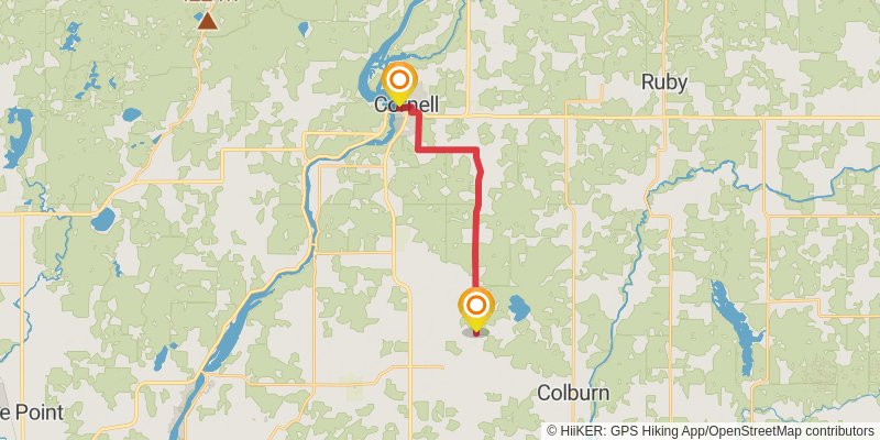
Starting at: Cornell, Chippewa County, 54732
Ending at: Arthur, Chippewa County, 54727
Distance: 15.0 km
Elevation gain: 127 m
Duration: 03:12:14
stage 16
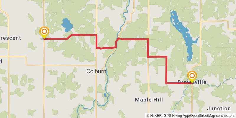
Starting at: Arthur, Chippewa County, 54732
Ending at: Colburn, Chippewa County, 54768
Distance: 19.7 km
Elevation gain: 192 m
Duration: 04:15:57
stage 17
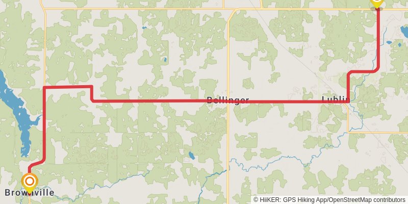
Starting at: Colburn, Chippewa County, 54768
Ending at: Ford, Taylor County, 54447
Distance: 29.4 km
Elevation gain: 217 m
Duration: 06:14:25
stage 18
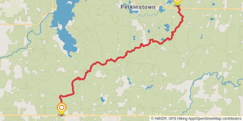
Starting at: Ice Age Trail, Ford, Taylor County, 54447
Ending at: Medford, Taylor County, 54451
Distance: 21.4 km
Elevation gain: 442 m
Duration: 05:00:26
stage 19
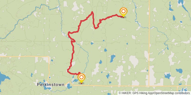
Starting at: Perkinstown, Taylor County, 54451
Ending at: Medford, Taylor County, 54451
Distance: 20.4 km
Elevation gain: 253 m
Duration: 04:30:11
stage 20
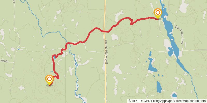
Starting at: Taylor County, 54451
Ending at: Medford, Taylor County, 54451
Distance: 9.7 km
Elevation gain: 92 m
Duration: 02:06:04
stage 21
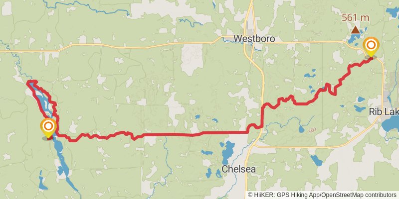
Ending at: Rib Lake, Taylor County, 54490
Distance: 32.0 km
Elevation gain: 637 m
Duration: 07:27:14
stage 22
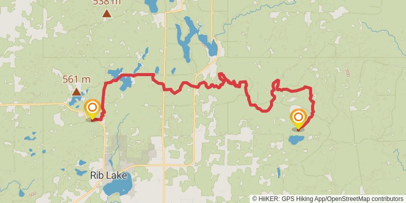
Starting at: Sheep Ranch Creek, Rib Lake, Taylor County, 54490
Ending at: Rib Lake, Taylor County, 54470
Distance: 23.8 km
Elevation gain: 446 m
Duration: 05:29:43
stage 23
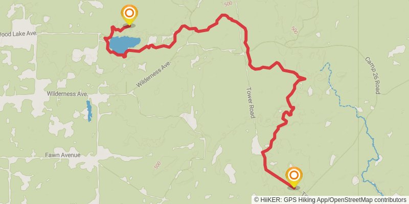
Starting at: Taylor County, 54470
Ending at: Merrill, Lincoln County, 54452
Distance: 13.2 km
Elevation gain: 214 m
Duration: 02:59:22
stage 24
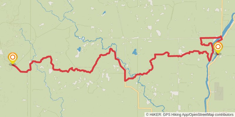
Starting at: Lincoln County, 54452
Ending at: Rock Falls, Lincoln County, 54442
Distance: 36.5 km
Elevation gain: 381 m
Duration: 07:55:37
stage 25
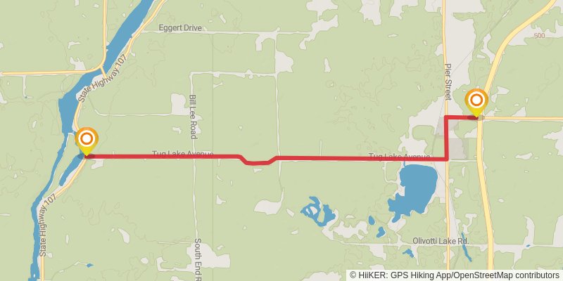
Starting at: Rock Falls, Lincoln County, 54442
Ending at: Rock Falls, Lincoln County, 54442
Distance: 8.4 km
Elevation gain: 101 m
Duration: 01:51:08
stage 26
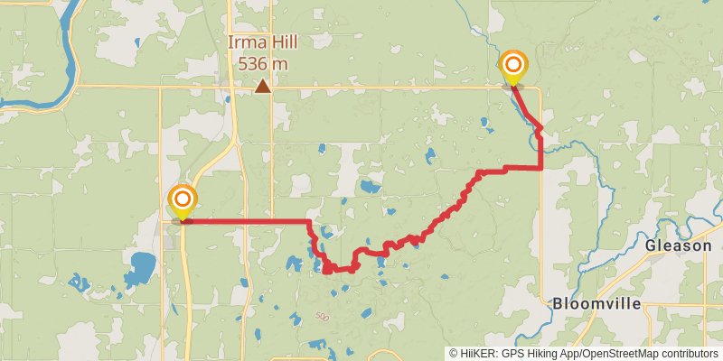
Starting at: Rock Falls, Lincoln County, 54442
Ending at: Gleason, Lincoln County, 54435
Distance: 19.4 km
Elevation gain: 339 m
Duration: 04:26:17
stage 27
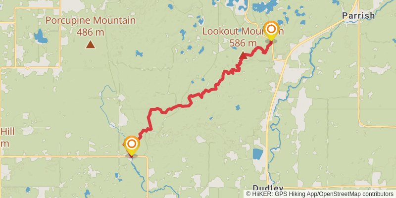
Ending at: Gleason, Lincoln County, 54435
Distance: 15.4 km
Elevation gain: 440 m
Duration: 03:49:10
stage 28
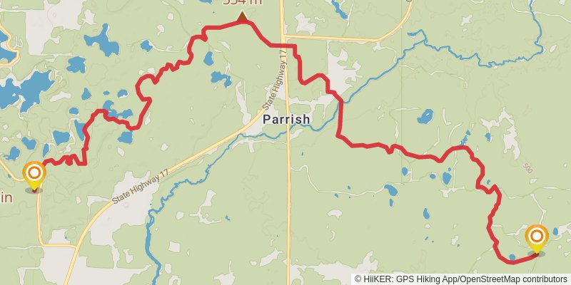
Starting at: Lincoln County, 54435
Ending at: Gleason, Langlade County, 54435
Distance: 18.4 km
Elevation gain: 324 m
Duration: 04:12:38
stage 29
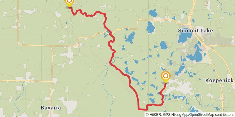
Starting at: Gleason, Langlade County, 54435
Ending at: Summit Lake, Langlade County, 54424
Distance: 21.4 km
Elevation gain: 312 m
Duration: 04:48:32
stage 30
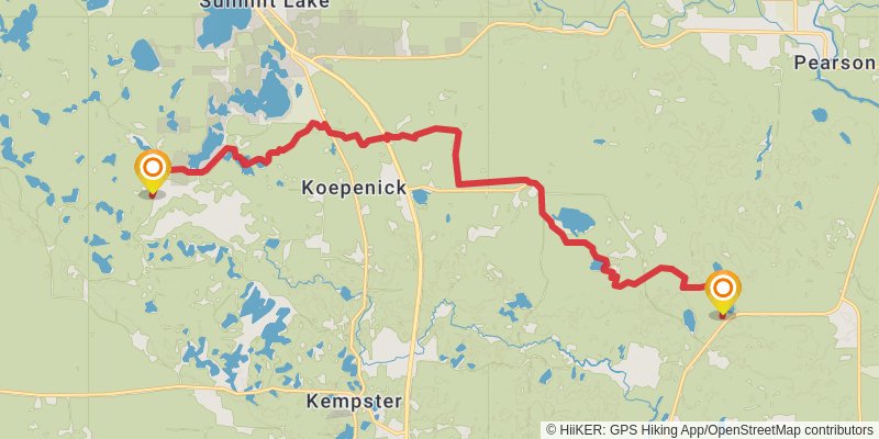
Starting at: Summit Lake, Summit Lake, Langlade County, 54424
Ending at: Ainsworth, Langlade County, 54424
Distance: 21.1 km
Elevation gain: 177 m
Duration: 04:30:28