Download
3D Flyover
Add to list
More
1777.3 km
~62 days
6695 m
Multi-Day
“Traverse the Ice Age Trail's glacial splendor and historical paths for a breathtaking, challenging hike.”
Spanning approximately 1,100 miles (1777 kilometers) and weaving through the picturesque landscapes of Wisconsin, the Ice Age National Scenic Trail is a testament to glacial history and natural beauty. With an elevation gain of around 21,600 feet (6600 meters), this point-to-point trail offers a challenging yet rewarding experience for avid hikers.
Getting to the Trailhead
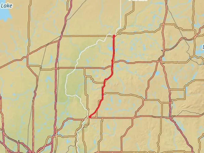
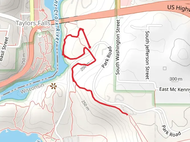
The western terminus of the Ice Age Trail is located near Interstate State Park, close to the town of St. Croix Falls in Chisago County. For those arriving by car, the trailhead is accessible via WI-35, which is the main road running through St. Croix Falls. Public transportation options are limited, but regional bus services may offer routes to nearby towns, from where you can take a taxi or arrange a shuttle to the trailhead.
Navigating the Trail
Hikers can rely on HiiKER to navigate the trail, as it provides detailed maps and essential information about the route. The trail is marked with yellow blazes, and signage is generally good, but having a digital tool like HiiKER can be invaluable for planning and staying on track.
Landmarks and Scenery
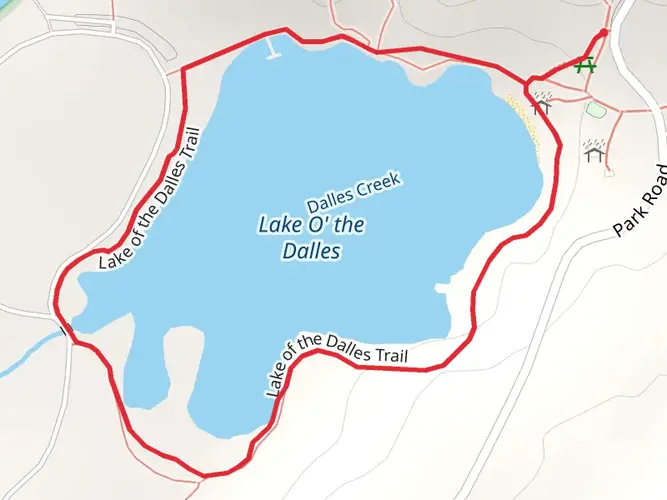
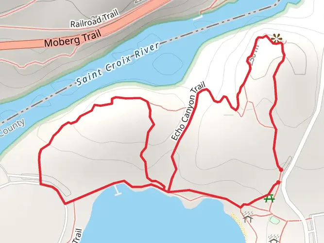
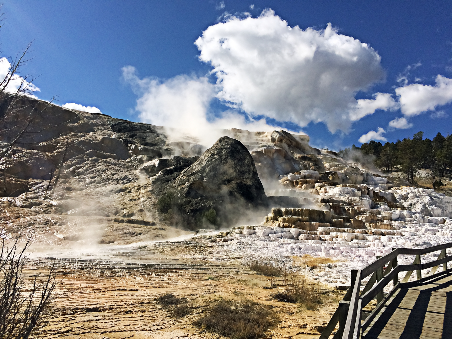
The Ice Age Trail traverses a diverse range of landscapes, including hardwood forests, prairies, wetlands, and glacial landforms such as kettles, moraines, and drumlins. Notable landmarks include the scenic Devil's Lake State Park, with its stunning bluffs rising above the lake, and the Rib Mountain State Park, which offers panoramic views of the surrounding area.
Wildlife and Nature
As you journey through the trail, you'll encounter a variety of wildlife, from white-tailed deer and red foxes to an array of bird species like the sandhill crane and the pileated woodpecker. The trail also passes through several state and national forests, providing opportunities to observe the rich biodiversity of the region.
Historical Significance
The Ice Age Trail is named for the glacial history that shaped the landscape of Wisconsin over 12,000 years ago. The trail itself is a monument to the Ice Age, with many of its features directly resulting from glacial activity. Hikers will walk in the footsteps of early Native Americans and European settlers who once inhabited these lands.
Preparation and Planning
Given the trail's length and difficulty, thorough preparation is essential. Hikers should plan for multiple resupply points along the trail, as there are towns and cities at various intervals. Water sources are generally plentiful, but it's wise to carry a filter or purification tablets. Weather can be unpredictable, so pack for all conditions and be prepared for the changing seasons if you're undertaking a through-hike.
Elevation and Distance
The trail's elevation gain is gradual in most sections, but there are some steep climbs, particularly in the more rugged northern segments. The total elevation gain of around 21,600 feet is spread out over the course of the trail, so while there are no extreme altitudes to contend with, the cumulative ascent can be taxing over time.
Remember, the Ice Age National Scenic Trail is not just a physical challenge; it's a journey through time, showcasing the power of nature and the resilience of the landscapes it has sculpted. Whether you're a section-hiker or a through-hiker, this trail offers an unforgettable adventure steeped in natural beauty and historical significance.

What to expect?
Activity types
Comments and Reviews
User comments, reviews and discussions about the Ice Age National Scenic Trail, Wisconsin.
4.45
average rating out of 5
11 rating(s)